Mountain Safety Collective Backcountry Conditions Report, July 6th
Mountainwatch | Mountain Safety Collective
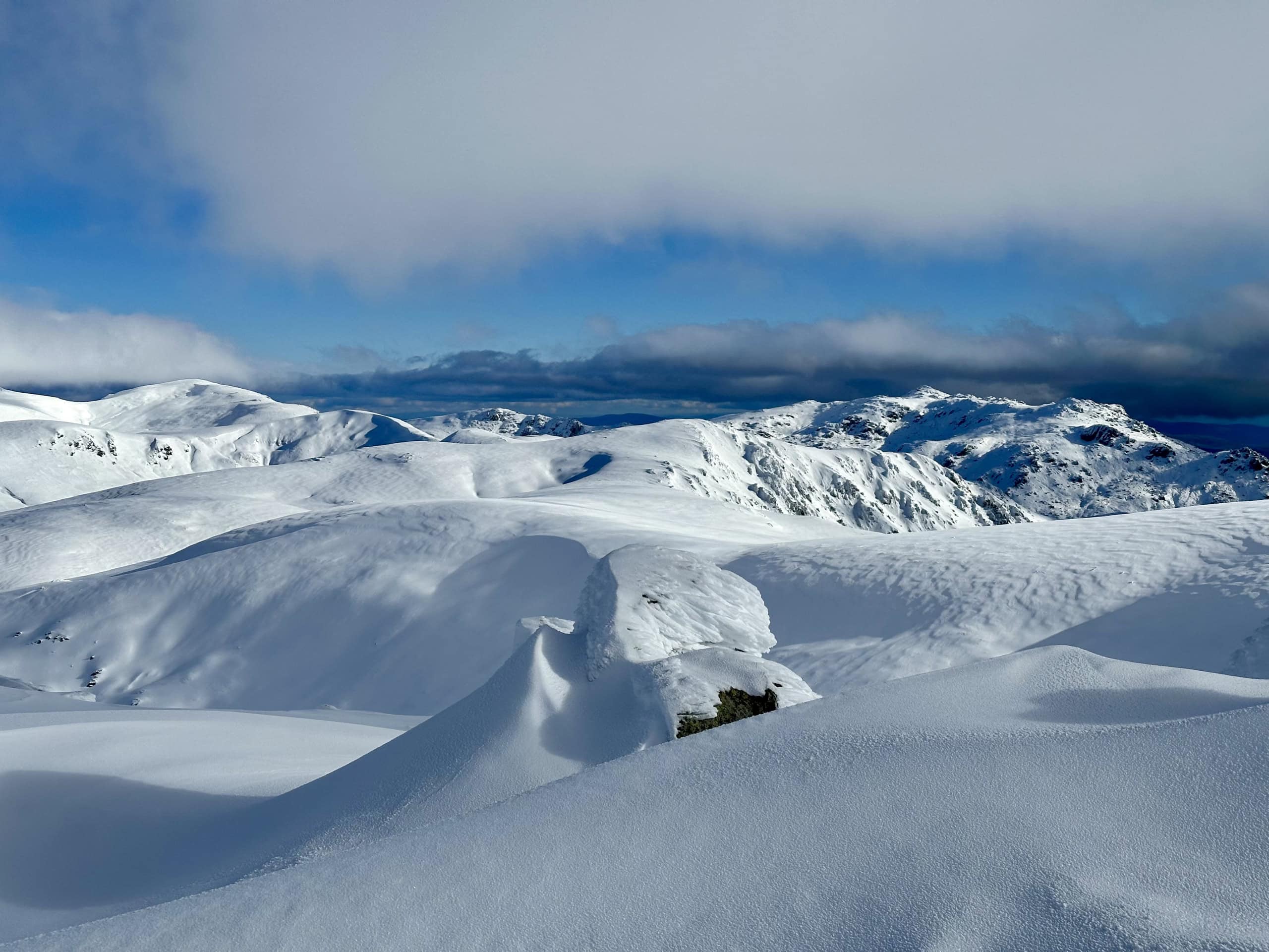
After a slow start in early June, consistent small top ups of snow at higher elevations from Wednesday 26 June to Sunday 30 June transformed the NSW Main Range into a winter wonderland and helped kick start the Victorian season. The two back to back systems only delivered around 20-30cm of fresh snow above 1700m, but persistent strong winds blew the snow everywhere it was needed, with cold fresh powder building up to more than two metres deep on leeward (Easterly) aspects at higher elevations.
This provided exceptional touring in the NSW backcountry for the first few days of July and opened up some favourite backcountry lines around Mt Hotham under cold clear skies. It’s been a very different story at lower elevations, with popular approaches from trailheads like Guthega and Dead Horse Gap requiring a hike through exposed bushes on very thin snow cover before skinnable snow is available around the 1700m mark. It really needs another 40-60cm of snow to fill in these lower slopes and there’s been little to no skiing below the treeline so far this season. The resorts have relied on the recent cold nights to crank the snowmaking and made skiing to the valley floor possible on groomed runs.
It’s been a similar story at the lower elevations in Victoria, with backcountry skiing and boarding only really possible on wind-loaded aspects and gullies where 80-100cm of cover is available to ride on upper elevations. Windward aspects in Victoria are still largely exposed vegetation, with the sharper peaks not benefitting from the large fetch of the high, flat plateau of the NSW main range.
Things took a bit of a turn on Thursday in NSW as a moist easterly airflow accompanied by low cloud blew off the Tasman sea and created a thin crust on the snow below 2000m on shaded slopes, while sun facing slopes fared much better.
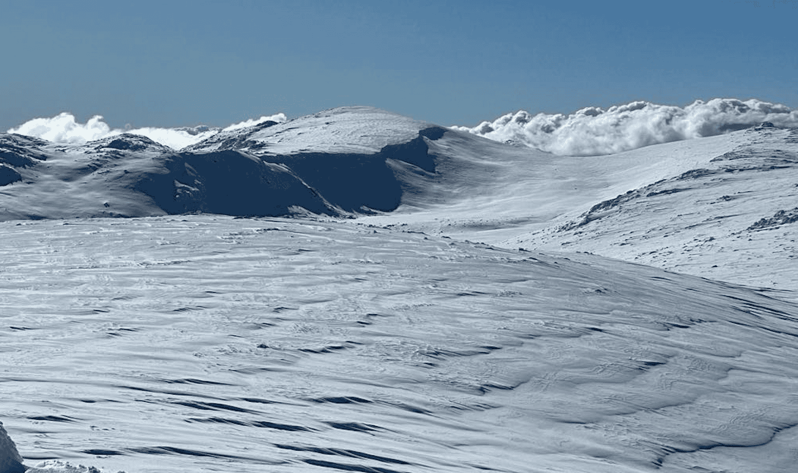
As we move into the weekend we see a return of cold clear nights and sunny days with light winds in both NSW and Victoria. If your snow camping gear has been in storage since last September, this weekend is a good opportunity to dig it out and head out on a longer overnight tour. Backcountry skiing and snowboarding will still be fun at higher elevations, but be aware that surface crusts are likely to form in the cold night time temperatures, softening through the day on sun facing slopes. Pack your ski and splitboard crampons in case the approaches are firm.
Conditions are set to take a turn for the worse later on Monday 8th July with moist precipitation (OK, it’s going to rain) and high freezing levels showing on most forecasts until next Thursday. The hope is that this could turn into good snowfalls next weekend, but here at MSC we don’t like to speculate too much more than 4 days ahead in the forecast.
Avalanche conditions have been very stable in the past week, with the recent snow consolidating well and no signs of instability have been reported by MSC’s team of field observers. You can also share your own conditions observations and photos by submitting them via this form.
If you’re looking for alternatives to touring over the weekend, the Avalanche Training Centre in Thredbo should be in place by Saturday 6th July, with Hotham on standby until there’s adequate snow to install it. The ATC is a great place to practise your transceiver searches and probing skills (Please don’t try and dig up the targets!) with the snow cover at Thredbo already providing more challenging search depths than last season.
MSC is also happy to announce the launch of our Alpine Guiding Partners program, providing links to Australia’s most proficient alpine guides and backcountry education providers. MSC Members receive generous discounts from all of these partners, offsetting the annual membership fee whilst helping support MSC’s free, daily Backcountry Conditions Reports.


