New Zealand Forecast – Final Forecast of the Season with Spring Stunners & a Little Canterbury Snow Ahead
Published early Friday, 2nd October 2026
Well folks, we’ve made it to the final NZ forecast of the season, although there are still plenty of turns left before the lifts stop spinning for winter.
It’s the final week at Coronet Peak and Ōhau, while Mt Olympus runs through to the 10th of October, and The Remarkables and Mt Hutt through to the 11th. Cardrona has extended its season until the 18th, with Whakapapa and Tūroa aiming to keep the lifts spinning through to the 25th, the long Labour Weekend.
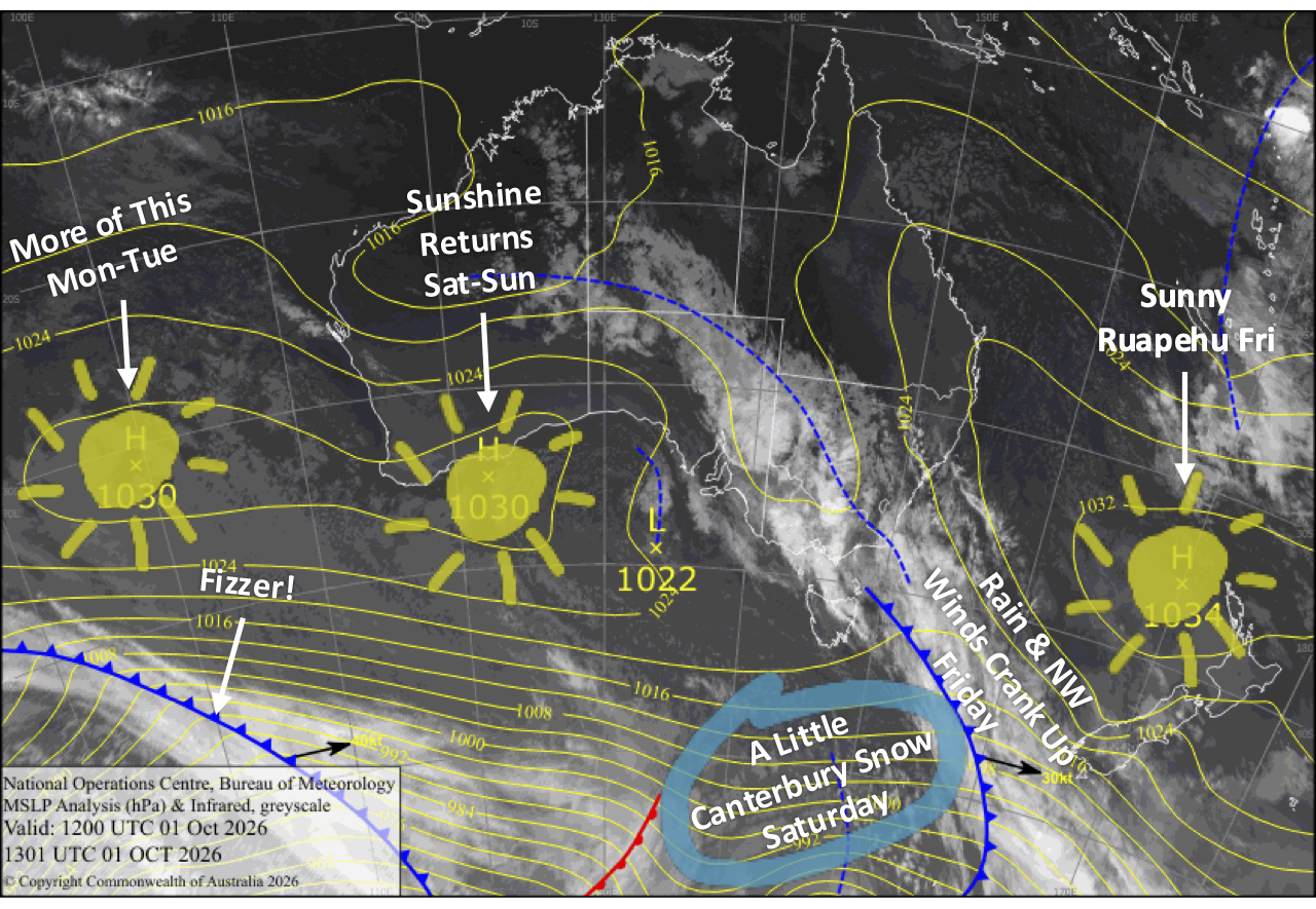
Things get a little wild today, Friday, as northwesterlies crank up over the South Island, potentially hampering lifts before rain spreads into the Southern Lakes and eventually Canterbury. A colder change brings 1-5cm of wet snow to Canterbury early Saturday before things rapidly improve, setting up a cracking Sunday and Monday with sunshine, light winds and some mint spring skiing.
Looking further ahead, things become more unsettled again next week, with a stronger storm threatening the South Island next weekend. That could throw a spanner in the works for closing weekend at Mt Olympus, The Remarkables and Mt Hutt, although there should hopefully still be a decent window to squeeze in those final turns.
Friday 2nd October
Northwesterlies crank up over the South Island, reaching gale force in exposed areas and potentially hampering lift operations, as a front to the south gathers some momentum and slowly creeps northwards. The front spreads rain over the Southern Lakes from late morning before clearing away early in the evening.
Cloud builds over Canterbury, with a few showers spilling over from the Main Divide during the afternoon before rain arrives from the south overnight.
Mt Ruapehu remains largely untouched by the action, with just some cloud possible around the lower slopes as southwesterlies pick up.
Saturday 3rd October
The Southern Lakes ski fields will be clear and sunny above morning low cloud filling the valleys and basins, while light southerly breezes gradually die away.
Rain over Canterbury turns to wet, dense snow and sleet early in the morning as cooler south-to-southeasterlies arrive. That’ll gradually clear from the south during the afternoon as the front continues northwards, leaving around 1-5cm of wet, dense snow behind.
Conditions deteriorate on Mt Ruapehu, with showers arriving around midday before clearing during the evening as southwest winds swing around to the southeast.
Sunday 4th October
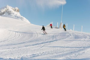
A ridge of high pressure serves up a beaut sunny day for South Island ski fields, with barely a puff of wind. A perfect way to sign off a great season at Coronet Peak and Ōhau.
Mt Ruapehu also starts off nicely, but cloud will materialise during the afternoon, with a few spits of rain or drizzle possible, although winds remain light.
Monday 5th October
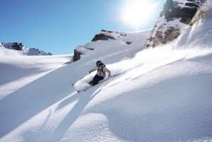
Another stunning blue-dome day for the South Island under the influence of high pressure, with a light northwest breeze kicking in.
Mt Ruapehu will be mint too, with mostly sunny skies and light breezes.
Tuesday 6th October
Northwesterlies pick up over the South Island as the high moves out east and a storm system approaches from the west, bringing a little cloud to the Southern Lakes on an otherwise sunny day.
Light northerly breezes over Mt Ruapehu will bring mostly cloudy skies and a few light, drizzly showers.
Extended Forecast
The front approaching from the west on Tuesday moves onto the lower South Island on Wednesday the 7th and lingers into Thursday the 8th before gradually dissipating. This will bring a few showers to the Southern Lakes, while Canterbury and Mt Ruapehu stay mostly fine and dry.
A stronger storm system is earmarked to hit the South Island next weekend, the 10th and 11th of October, bringing a bout of rain and strong northwest winds. That’s not ideal for closing weekend at Mt Olympus, The Remarkables and Mt Hutt, but the storm shouldn’t consume the entire weekend, hopefully leaving a decent window to sneak in those final turns of the season.
That’s all from me this season, folks. It was a slow start, but it’s turned out to be a great season overall. Enjoy these final few weeks and squeeze in a few more turns if you can.
As for me, I’m off for a short hibernation nap until things start cranking up in the Northern Hemisphere. See you then.
The Grasshopper, signing out!