New Zealand Forecast – Sunshine Gives Way to Wind, Rain & a Little Canterbury Snow
Published early Wednesday, 30th September 2026
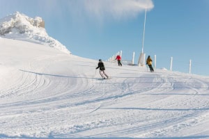
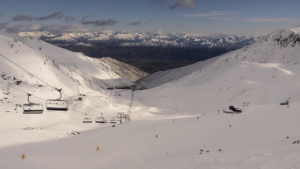
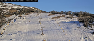
Snow conditions are looking great after winter came roaring back on Sunday, with an icy blast giving South Island ski fields a solid top-up of around 15-30cm, while Mt Ruapehu also picked up freshies, with between 7-17cm falling.
That fresh powder is perfectly timed for the school holidays, which are now underway. It’s the final week at Coronet Peak, while The Remarkables and Mt Hutt will run through to the 11th of October. Cardrona has extended its season until the 18th, with Whakapapa and Tūroa aiming to keep the lifts spinning through to the 25th.
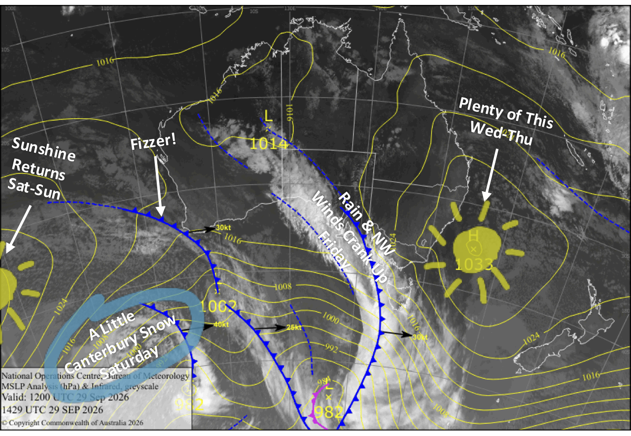
There’s some mint spring skiing on offer today, Wednesday, with sunshine across the country, followed by another mostly decent day Thursday. Things turn more lively on Friday as northwesterlies crank up over the South Island and a front slowly pushes north, bringing rain before a colder change turns it to wet snow over Canterbury overnight. Around 1-5cm could be on the ground by the time things clear up on Saturday, with Sunday shaping up as another cracking sunny day for South Island ski fields. Mt Ruapehu stays largely out of the action, with cloud and a few showers developing over the weekend.
Wednesday 30th September
A nice, sunny day for Kiwi ski fields as northwest breezes develop across the country, picking up a bit over the Southern Lakes. Canterbury may see some morning cloud before skies clear, while Mt Ruapehu gets a little cloud during the afternoon, particularly around the lower slopes.
Thursday 1st October
West-to-northwest winds continue across the country and will be brisk over the Southern Lakes, where skies turn mostly cloudy as a weak front nudges onto the bottom of the South Island, bringing the chance of a few light rain showers.
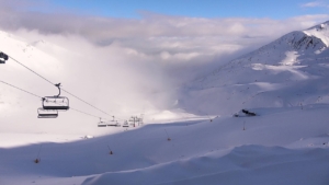
Canterbury also sees some high cloud, while Mt Ruapehu will be sitting pretty in the sunshine above a layer of cloud hugging the lower slopes.
Friday 2nd October
Northwesterlies crank up over the South Island, potentially hampering lift operations, as the front to the south gathers some momentum and slowly creeps northwards. The front spreads rain over the Southern Lakes during the morning before clearing away in the evening.
Canterbury stays fine beneath increasing high cloud for much of the day before rain arrives from the south during the evening, eventually turning to wet, dense snow overnight as cooler southeasterlies arrive.
Mt Ruapehu remains largely untouched by the action, with just some cloud hanging around the lower slopes.
Saturday 3rd October
Cloud clagging up the Southern Lakes ski fields gradually breaks apart, opening the door to a sunny end to the day. Snow and sleet over Canterbury gradually clear from the south as the front continues northwards, leaving around 1-5cm of wet, dense snow behind. Winds will be light across the South Island.
Cloud builds over Mt Ruapehu, with a few showers developing later in the afternoon as a southwest breeze swings around to the southeast.
Sunday 4th October
A ridge of high pressure serves up a beaut sunny day for South Island ski fields, with light northwest breezes developing during the afternoon.
Mt Ruapehu won’t fare quite as well, with showers hanging around although winds will be light.
Extended Forecast
Next week, northwesterlies strengthen across the South Island on Monday the 5th and Tuesday the 6th of October ahead of a front crossing on Wednesday the 7th. This will bring a bout of rain before a cold change whips through, potentially leaving ski fields with a wee dusting of fresh snow.
Things should clear up again for Thursday the 8th and Friday the 9th as another high-pressure system passes by, before northerlies pick up again over the weekend of the 10th and 11th.
Mt Ruapehu, meanwhile, looks set for a showery, wet week with little sign of any fresh snow.
That’s all from me today, folks. I’m sending out NZ forecasts every Monday, Wednesday and Friday throughout the season. Have a great couple of days, and I’ll see you back here on Friday.
Grasshopper