Australian Forecast – Fragile Snowpack Faces Another Knock Before a Little Fresh Snow Up High
Published early Wednesday, 2nd September 2026
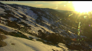
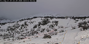
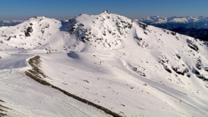
The long fine spell came to an end as spring rolled into town with strengthening northwest winds. The sunshine was nice, but we lost a lot more snow cover over the last few days due to unusually warm temperatures, which has reduced the skiable terrain and caused some lifts to close.
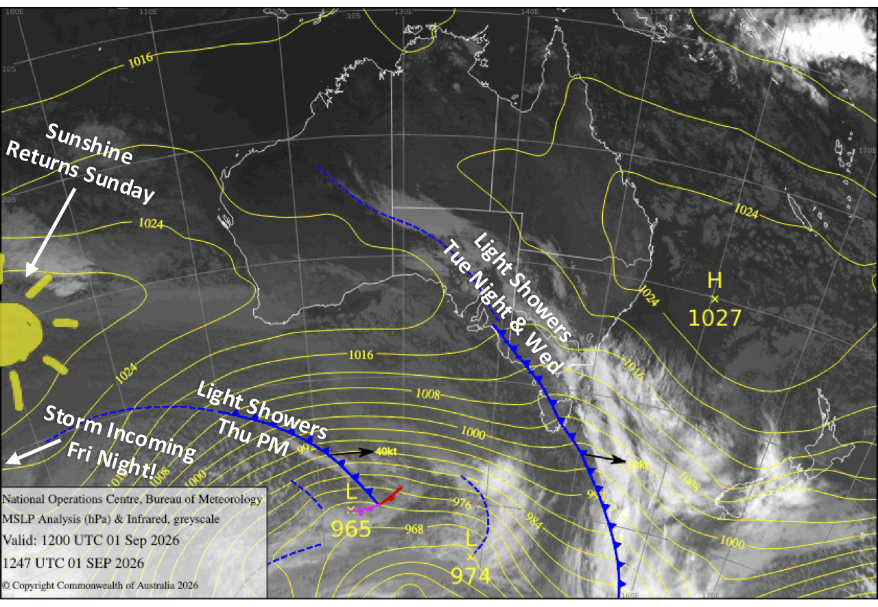
Unfortunately, there’s not much to get excited about just yet. Strong northwest winds and rain will keep conditions pretty ordinary on Wednesday, before a couple of slightly better but still unsettled days on Thursday and Friday.
Things really go downhill Friday night as a strong storm rolls in, with Saturday looking downright gnarly as heavy rain and gale to severe-gale winds hammer the mountains and take another big bite out of the already fragile snowpack. There is a tiny reward at the end, though, as colder air should turn the rain to snow later Saturday, leaving up to 5-10cm of freshies on the upper slopes before a mostly sunny Sunday. Hopefully there’ll be enough snow left to keep some lifts spinning.
Wednesday 2nd September
Not the nicest of days as strong northwest winds continue to push in clouds and light rain showers, which will build into more persistent rain for a time overnight, nibbling away a little more at the snowpack.
Thursday 3rd September
Showers ease from the west during the early hours before opening time as colder west-to-northwesterlies arrive, leaving partly cloudy skies. However, clouds quickly build again and light drizzly showers return in the afternoon as a weak front crosses. The showers clear overnight behind the front.
Friday 4th September
A slightly nicer day with mostly cloudy skies, a possible light shower or two, and brisk northwest winds. The worst comes overnight as a front moves in, bringing rain and gales.
Saturday 5th September
It’ll be a gnarly day as a strong storm system passes over, bringing heavy rain and gale-to-severe-gale northwest winds that will deal a heavy blow to the snowpack. Conditions start to improve late in the day as cooler westerlies arrive, with precipitation easing to lighter snow showers about the mid and upper slopes.
Sunday 6th September
The snow showers about the mid and upper slopes dry up during the wee hours before dawn, leaving up to 5-10cm of fresh snow up high and mostly sunny skies throughout the day as southwest winds gradually ease and turn northwest.
Extended Forecast
Models aren’t well aligned for next week’s weather. A weak cold front crossing on Monday, the 7th of September, could bring another dusting if we’re lucky, before high pressure brings fine, settled weather through the middle of the week.
Further ahead, another storm looks likely sometime between Friday the 11th and early the following week, bringing another wet and windy spell with perhaps a little snow in the mix at the tail end of the storm.
That’s all from me today, folks. I’m firing out these forecasts every Monday, Wednesday and Friday throughout the season, and an extra update on Sundays during peak season. Have a great couple of days, and I’ll see you back here on Friday.
Grasshopper