Australian Forecast – Calm Sunny Days as we Reap the Rewards
Published early Monday, 6th July 2026
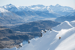
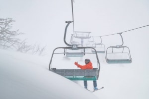
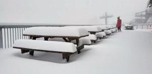
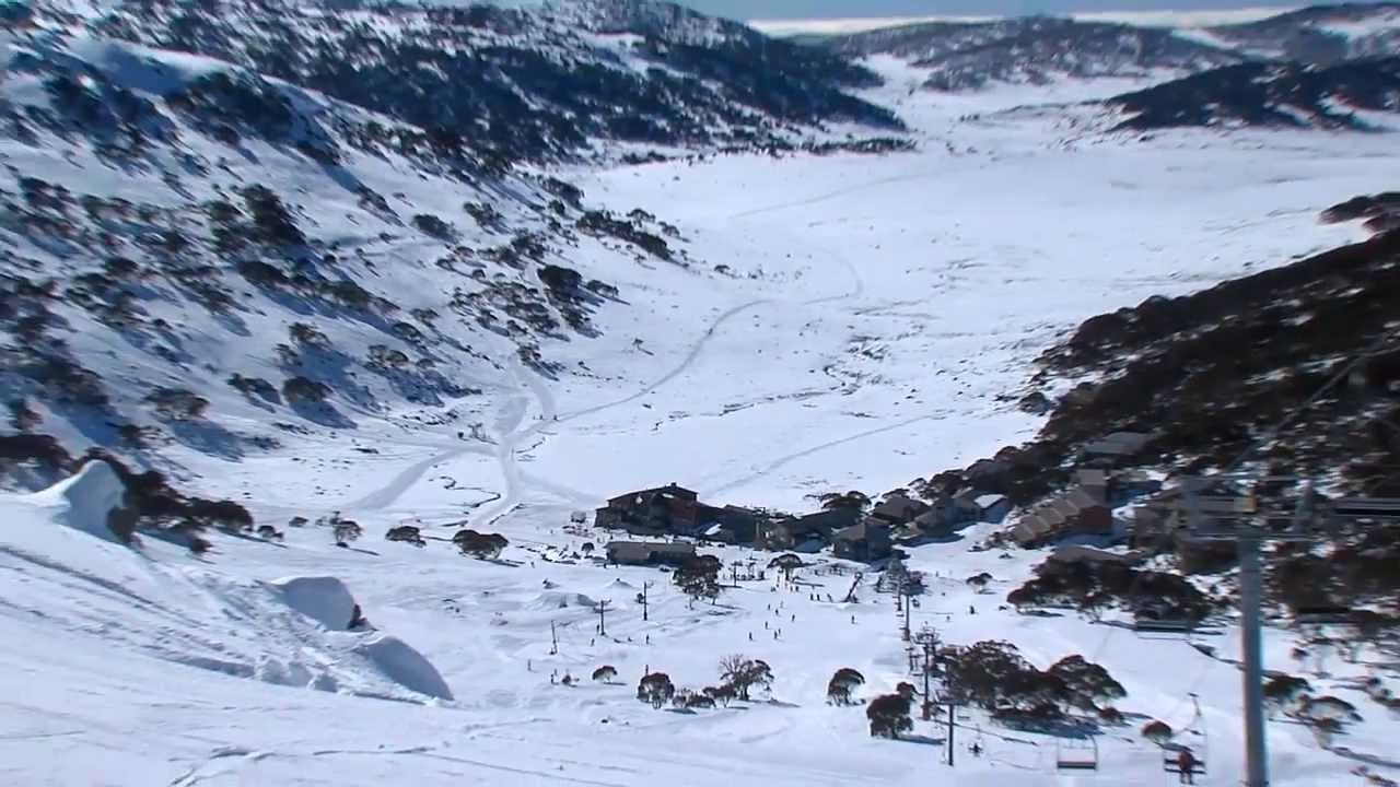
After such a warm and wet build-up, the storm last week finally turned cold on Thursday night and Friday and delivered the goods we’d all been madly waiting for. Storm totals at the resorts ranged from 22cm at Buller to 43cm at Thredbo, with Falls Creek scoring 33cm, Hotham 36cm, and Perisher 37 cm. This includes 5 cm or so that fell up high Wednesday night.
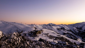
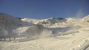
We’re now in for a run of calm, sunny days, with cold nights that should have the snow guns firing on all cylinders. The fresh snow has opened up more terrain, good timing with school holidays in full swing.
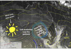
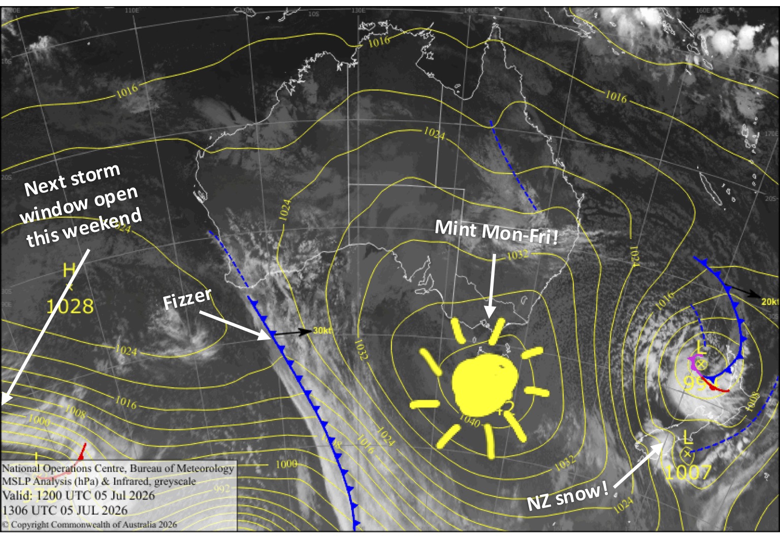
That said, we still need one more decent storm to really get things humming, so all eyes are already turning to the next storm window, which opens this weekend.
Monday 6th July
Any cloud cover clears in the morning for beaut, sunny day as easterly winds ease and turn northeast. Cold & clear overnight for snowmaking.
Tuesday 7th July
Clear and sunny with little to no wind. Cold & clear for snowmaking morning and overnight.
Wednesday 8th July
Another clear, crisp and calm day. The snow guns will get another go early morning and overnight.
Thursday 9th July
Fine and calm with high cloud. Temps should get cold enough for snowmaking early morning and overnight.
Friday 10th July
Fine with a little high cloud again, and a light northwest breeze. Cold temps again early morning and night for the snow guns.
Extended Forecast
Our next storm window comes this weekend when a series of cold fronts are expected to bring snowfall to the Aussie Alps between late Saturday, the 11th, and Wednesday, the 15th of July. Models are still not aligned on the details, with totals ranging from a small shot of powder to a larger powder dump.
Temperatures may also be an issue, where the bulk of the snow will fall on the upper slopes, above 1700 metres, while the lower slopes receive only dustings after some rain. I’ll shore up some of these details with more confidence in Wednesday’s forecast.
That’s all from me today, folks. I’m sending out these forecasts every Monday, Wednesday and Friday throughout the season, and when the snow arrives and things start humming, I’ll fire one out on Sundays too. Have a great couple of days, and I’ll see you back here on Wednesday.
Grasshopper