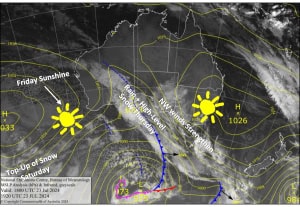
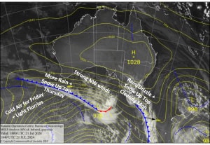
Australian Forecast – Refresh & Repair from Cold Front Late Saturday
Published early Friday, 26th July 2024
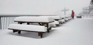
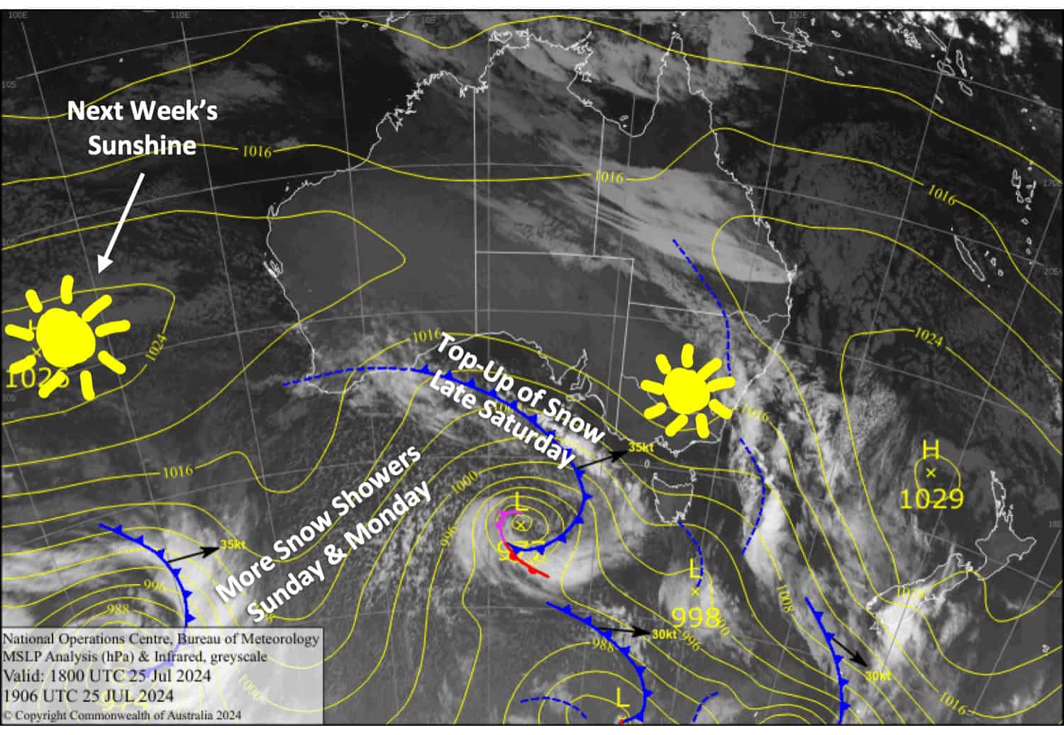
It was a soggy ol’ day yesterday, but it did end up snowing above 1800m. We’ve got a nice day lined up for your Friday slide sesh before a cold front arrives late Saturday, bringing a top-up of high-quality powder to low levels.
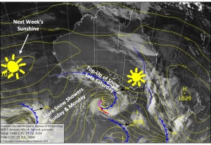
The front will go on to spin up into a slow-moving low-pressure system in the Tasman Sea, where it’ll direct cold winds from the south over the Aussie Alps for several more days, with a few more snow showers turning up on Sunday and Monday.
Snowfall accumulations during this forecast period will be around the 5-15cm mark, and additional snowmaking will refresh and repair the snowpack nicely.
Friday 26th July
A chilly start with a bit of cloud about, but that’ll clear up rather pronto for a mint, sunny day. Westerly winds turn NW and strengthen over Victoria.
Saturday 27th July
Gusty NW winds over Victoria will see patchy drizzle developing there in the morning, falling as light snow above about 1600m. A cold front arrives late in the day, bringing a period of heavier snowfall to low levels and a cold SW change from late afternoon into the evening.
NSW resorts will be fine until cloud starts building in the afternoon. The snow and cold SW change will arrive in the evening and fall through the night to low levels.
Sunday 28th July
Strong, cold southwesterlies will bring more snow showers to low levels. They’ll be fairly constant for Baw Baw, but they’ll likely come and go at the other resorts.
Monday 29th July
Cloud and any remaining snow showers will clear NSW early for a nice, sunny day as strong, cold southerlies abate. However, cloud creeps eastwards over Victoria, with more snow showers turning up on Mt Baw Baw and possibly Mt Buller too.
Extended Forecast
The slow moving Tasman Low will likely see cold southerlies over the Aussie Alps turn eastwards as a ridge of high pressure builds over us. The weather will be mostly clear and cold, and the snowpack thick and fluffy after all the snow, so it’ll be the best days of the season so far according to my books.
From next weekend, the 3rd and 4th of August, the weather looks to become unsettled again with the change of some more snow.
That’s all from me today, folks. The next forecast is Monday. See you then, and have a great weekend.
Grasshopper


