Australian Weekend Forecast, Friday July 19th – Biggest Dump of the Season, then Wet & Murky Sunday & Monday
Mountainwatch | The Grasshopper
Published early Friday, 19th July 2024
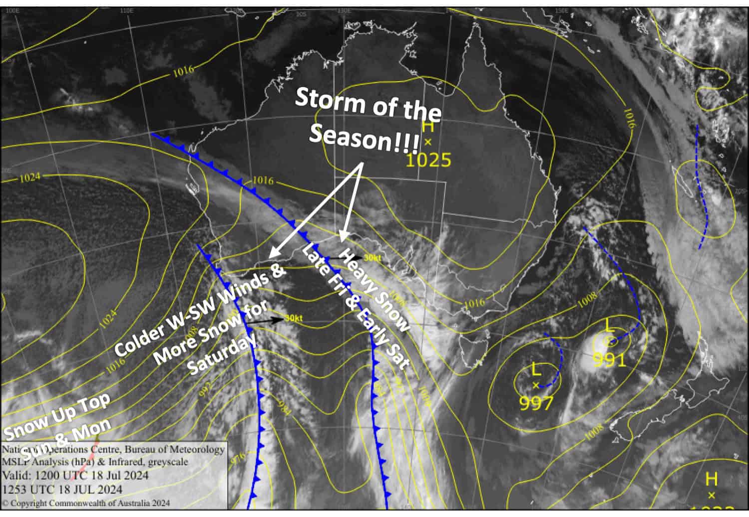
Here we go again, folks, round two of an active period of snowfall, and this one will be a real doozie. A couple of fronts from the west will dump a heavy load of powder on Friday and Saturday. Models have upped the ante and are now calling for 45-55+cm about the upper parts of the Aussie Alps, making this the biggest and best storm of the season so far.
However, temperatures will be marginal at Mt Baw Baw and at base elevations of the other resorts, meaning rain or dense snow will fall there before colder air arrives Saturday morning. So, accumulations at these low elevations will likely be much less. Nonetheless, this will massively improve conditions and open up much more terrain.
Unfortunately, things will get wetter and murkier on Sunday and Monday as another front clips the Aussie Alps, bringing snow only to the tops.
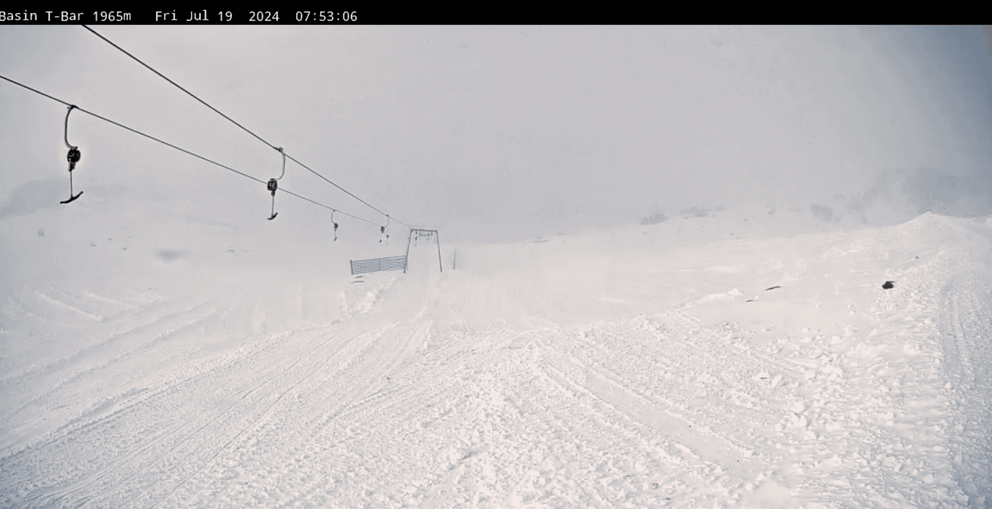
Friday 19th July
A cold, misty, cloudy morning with light snow flurries at some resorts. Snowfall will ramp up from afternoon, building into heavy falls at night. Snow levels will start off nice and low but will lift to around 1300-1400m or a touch higher, making it damp and dense at low elevations. NW winds will rise to severe gale, making for some gnarly conditions and likely affecting lift operations.
Saturday 20th July
Heavy snowfall will continue in the morning as snow levels creep down to low levels. It will then start to ease from afternoon before clearing at night. Severe gale W-NW winds turn SW late in the day, creating blizzard conditions and likely affecting lift operations again.
Sunday 21st July
A cloudy, murky day with drizzle and light rain developing morning in Victoria and midday-ish for NSW, falling as snow above 1700-1800m. W-NW winds strengthening.
Monday 22nd July
Another murky one with a bit of rain and drizzle holding on until late. Snow falling above 1800-1900m. Strong W-NW winds.
Extended Forecast
Active weather through the back half of next week, from about Thursday 25th July onwards, is likely to bring some more rain and then snow. The shape and form of this active weather is still up in the air, but I’m liking the idea of a couple of top-ups.
That’s all from me today, folks. The next forecast is Monday. See you then, and have a great weekend.
Grasshopper


