New Zealand Forecast, July 24th – Wet Weather Kicks in From Friday, Turns Cold & Snowy Next Week
Mountainwatch | The Grasshopper
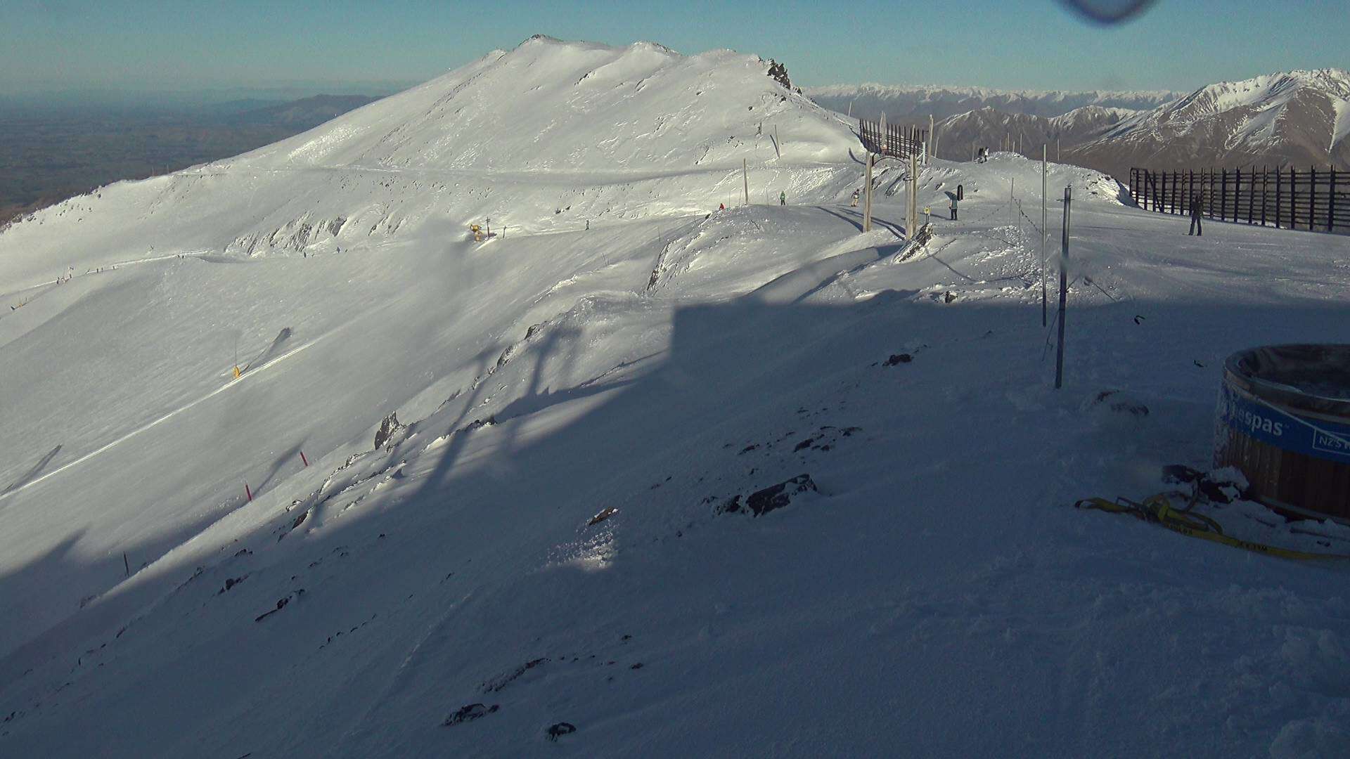
The next couple of days will be mint for South Island resorts before more active weather starts kicking in towards the end of the week. This will break the long dry, settled spell that has seen little to no snowfall since the start of the month.
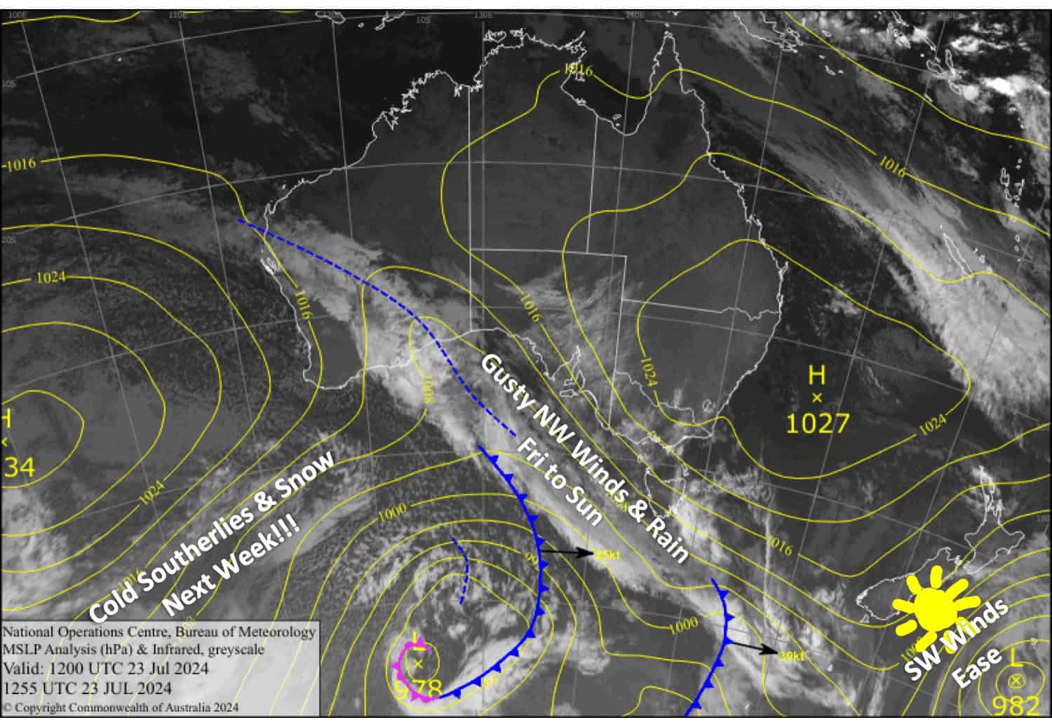
A front will move onto the South Island on Friday, where it’ll camp up for the weekend. NW winds will sometimes be strong and gusty, heaving rain over the Main Divide, causing grey, wet, and mild conditions on the ski resorts. After that, however, the forecast looks positively cold and snowy (skip to the extended forecast for more details).
Wednesday July 24th
A mostly sunny day for South Island resorts apart from some afternoon cloud about the Southern Lakes, where SW winds will turn to the west. SW winds in Canterbury will be brisk to start, but that’ll gradually ease.
Thursday July 25th
Mainly fine and sunny again. There’ll be a little morning cloud and scraps of high cloud over the Southern Lakes, where westerlies will turn NW. Winds will be light for Canterbury.
Friday July 26th
Showers of rain and high-level snow hitting Treble Cone will eventually spread to the other Southern Lakes resorts, becoming heavier and more persistent at night. Canterbury will be partly cloudy. NW winds will be strong and gusty in exposed areas.
Saturday July 27th
NW winds will bring rain at times to South Island resorts. It’ll be a little more persistent about the Southern Lakes where some snow may fall about the tops.
Extended Forecast
The front camped over the South Island will continue bringing rain to resorts on Sunday, July 28th. However, a cold southerly change either late that day or on Monday, July 29th, should bring a dump of snow through into Tuesday, July 30th. This could be followed by more snow on Wednesday, July 31st, and Thursday, July 1st.
Early snowfall figures for this cold and snowy period are looking large in Canterbury, up and over the half-metre mark, while light-moderate accumulations are lined up for the Southern Lakes. Although models have come into good alignment for this, it’s still a long way off, so we won’t count our eggs just yet.
That’s all from me today, folks. The next forecast is Friday. See you then, and have a great couple of days.
Grasshopper


