Grasshopper’s Weekly Japan Forecast, Thursday January 30th– Japanuary Ends in Deep Powder, Massive Storm Expected Next Week
Mountainwatch | The Grasshopper
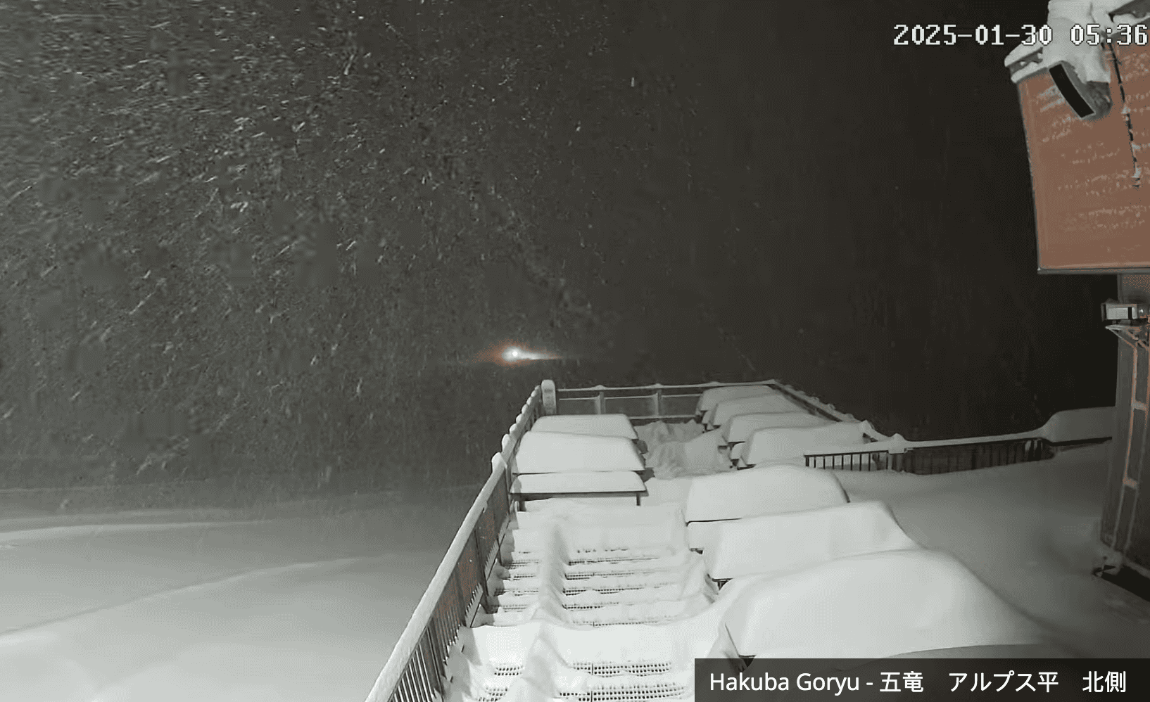
Written Thursday morning 30th January (Japan Standard Time)
After a quiet spell, Japanuary is ending on a deep note after a whopper of a snowstorm hit the country on Tuesday and Wednesday. There has since been heavy snowfall on Honshu, which Reggae is over the moon about, posting 80cm in this morning’s report for Hakuba. Snow will continue to pile up across the country on Thursday and Friday before the storm winds down on Saturday.
A Pacific low will bring some denser snowfall to central Honshu on Sunday, most of it in the east, before a proper storm of epic proportions is lined up to strike the country from late Monday. This storm could be one for the books as it is expected to last at least a week and add another massive load of powder to the tally.

Thursday January 30th & Friday January 31st
Powder will continue to pile up over Japan during Thursday and Friday as the storm that started on Tuesday continues to drive strong, cold west-to-northwest winds over the country.
The deepest totals will be in central Honshu, where the Hakuba resorts could score between 30-60cm+ over this 48hr period, while Hakkaisan could see well over a metre. Current radar and satellite images show widespread light-moderate snowfall over the region with isolated blobs of heavy falls. Models expect this to continue throughout the period.
Further north, radar and satellite images show less widespread light-moderate snowfall over northern Honshu and Hokkaido. This will also continue throughout the two days and will add up to around 20-40cm for resorts in Northern Honshu and western Hokkaido, such as those nearby Sapporo and Niseko, while Furano in central Hokkaido will likely see about half as much.

Saturday February 1st & Sunday February 2nd F
The storm winds down on Saturday, with snowfall petering out over Honshu as a ridge of high pressure moves up the country. On Sunday, a Pacific low will swing by and drop a load of denser snow over central Honshu. Most of this will fall in the east where 15-25cm is possible, while most major resorts in the west will likely see 5-10cm or less with slightly elevated snow levels.
Snowfall over Hokkaido will become lighter, sparser and confined to western areas by the end of Saturday before disappearing completely on Sunday as the ridge arrives and kills the wind.

Monday February 3rd to Wednesday February 5th
The next proper snowstorm is earmarked to hit Japan from late Monday. This is looking like a big one folks, and current forecasts expect it’ll ravage the country for at least a week, adding yet another massive load of powder to the tally!
The storm will start out warm, wet and dense but will turn nice and frigid and fluffy on Tuesday as the cold front hits. You can then expect heavy snowfall at times and strong, freezing west-northwest winds.

That’s all from me today, folks. Have a great week, and I’ll see you here next Thursday for another weekly rundown of Japan’s highlights and snowlights.
Grasshopper


