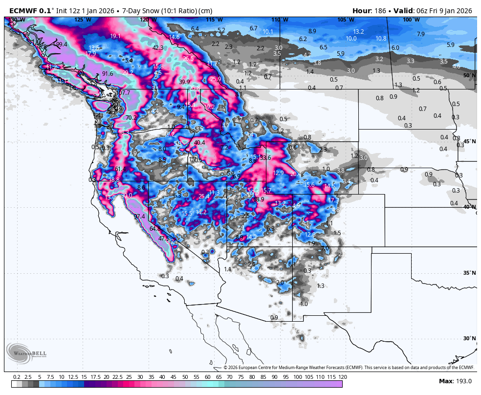
Weekly North America Forecast, January 2nd, 2026 – A Big Week Ahead as the Storm Cycle Trends Colder
Mountainwatch | The Grasshopper
Written Thursday afternoon, 1st January (Pacific Standard Time)
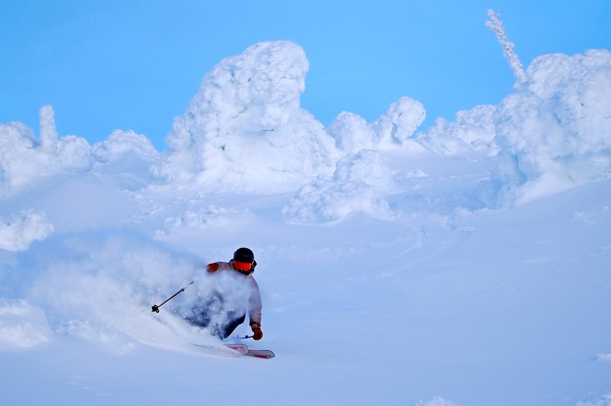
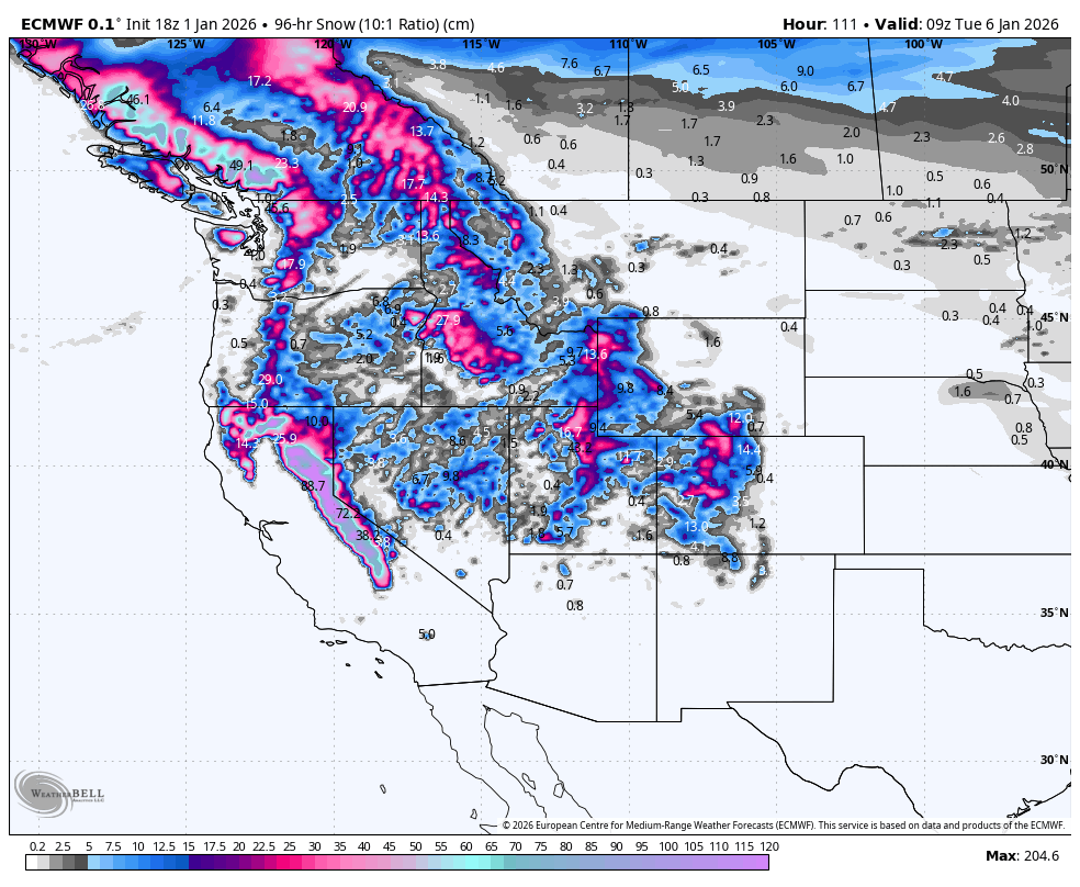
It has been another mixed week for resorts in the US and Canada with last week’s storm dropping huge totals in California’s Sierras while resorts in the northern Rockies also saw a decent refresh. However further south, Utah and Colorado have remained pretty dry and mild, the year finishing with the snowpack at a near-record low.
A couple of storms in the next week will again favour regions to the west, but they will make their way further east, dropping some much-needed snow across the Central Rockies.
Friday January 2nd to Monday January 5th
On Friday, a storm that kicked off in the Sierras late New Year’s Eve before spreading into the Rockies on New Year’s Day will gradually clear the west, leaving behind a light-to-moderate layer of new snow and mild temperatures.
After a brief break, the next storm arrives in BC, the Pacific Northwest and Sierras Friday night, and then spreads inland to the Rockies once again on Saturday. The storm will start warm with elevated snow levels, but will trend colder as cooler air pushes in from the northern Pacific. There’ll be heavy snowfall at higher elevations in BC’s Coast mountains and around Tahoe and in the Sierras, where it’ll continue through till late Monday, while the storm winds down earlier in the day elsewhere.
Tuesday January 6th to Thursday January 8th
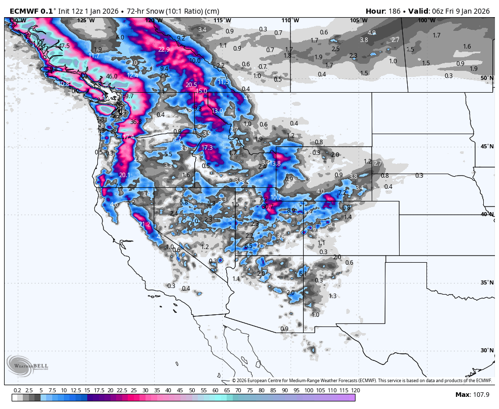
On Tuesday, the next storm rolls down over Canada into the Cascades and northern Idaho and Montana, with heavy snowfall along BC’s Coastal Mountains and moderate falls inland. Cold temps will see that it’s high-quality stuff.
The quality will remain high, but the storm weakens and slows as it continues to spread southwards across the border during Wednesday and Thursday, with lighter snowfall reaching Tahoe and the Sierras, and then Utah and Colorado.
Meanwhile, further south, a weak storm will pass over Arizona and New Mexico on Tuesday and Wednesday, bringing a much-needed dusting or top-up of snow to resorts there.
That’s all from me today, folks. Have a great week, and I’ll see you back here next Thursday for another weekly rundown of North America’s highlights and snowlights.
Grasshopper


