SNOW ALERT – 30-60cms for the closing weekend
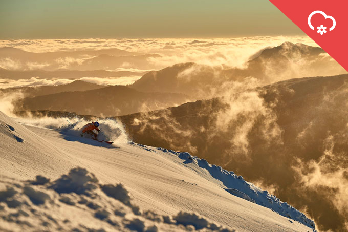
Image:: Andrew Railton / Buller
Mountainwatch | Snow Alert
SNOW ALERT
Snow Likelihood rating: Strong Confidence
It looks like the season will go out with a bang as a strong cold front bears down on the Australian Alps with the Grasshopper forecasting 30-60cms of snow from Thursday afternoon into Saturday morning. While not all resorts are open, Thredbo, Perisher and Falls Creek have lifts spinning from Sunday until Monday and with snow forecast down to 1400 metres or lower, there will be ample opportunity to lay down some fresh tracks to see out the 2016 season.
The winds will strengthen out of the north tonight as the front approaches bringing rain tomorrow morning before the temps drop and the rain turns to snow around midday. In his forecast this morning, the Grasshopper reckons we should see 10-20cms of snow down to 1400 metres by tomorrow night.
However, it is Friday that is getting him hopping up and down with excitement as a second front crosses the mountains: “The real action arrives on Friday as a powerful low races through the Bass Strait. Today’s update gives a favourable track for a plastering of 20-40cm of snow down to 1400m as moisture wraps around the lows centre…lets cross our antennae that it doesn’t change in tomorrow’s update! All of that fresh snow will be getting blown around on strong westerly winds before gradually fizzling to flurries by Saturday morning as the low heads out into the Tasman and a high builds in from the west. But watch out for the strong winds up top! I am going to have to bump up the storm snowfall total due to the favourable storm track. We can expect 30-60cm from tomorrow afternoon through to Saturday morning.”
While this storm may deliver snow totals equal to the big storms we had in the first half of the season, it is the end of September and the temps will not be as cold and the snow not as light and dry. However, the expected minimums on Friday and Saturday are down to -3 or -4 and the max temps are around zero up high, so there will be plenty of fun fresh turns to be had in the morning. The winds will be moderate out of the WNW so there should be some deeper drifts as well, but either way it’ll be great to ski some boot-deep fresh snow on October 1! Sunday is expected to be sunny – a good day to head out into the back country as there will be a lot of fresh snow out there.
As Reggae Elliss said in his season-wrap video report, “It has been an up and down winter, with some high highs and some low lows.” Thankfully, it looks like the closing weekend will end on a high note.


