AUSSIE WEEKLY SNOW JOURNAL – Bluebird
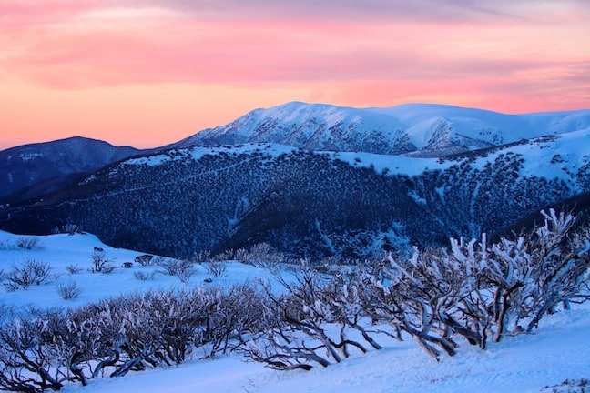
Image::Courtesy of Falls Creek
Aussie Weekly Snow Journal | Alex Horvath
After a good five to seven days of unseasonal mild temperatures the weather gods made up for last week’s rain on Monday night when they delivered 10-15cms of fresh light and dry snow. By all reports Tuesday was a day to remember, clouds parted winds remained light and temperatures cold making for a classic Aussie pow day!
Toward the end of last week the clouds and moisture hanging around as a result of that southeasterly feed and east coast low began to clear and the sun returned on Saturday. High cloud formed on Sunday with light snow flurries that turned into reasonable snowfalls around about lunchtime Monday.
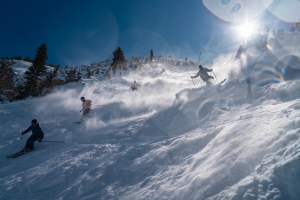
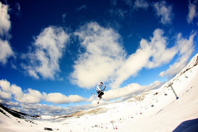
Bluebird pow day at Mt Hotham Image::Courtesy of Mt Hotham
On Tuesday morning most resorts reported accumulations of approximately 10cms from the storm with up to 15cms falling in the higher alpine regions. This snow was certainly welcomed with open arms as the snowpack in lower areas was feeling the effects of the wet snow and light drizzle from last week. When temperatures dropped a melt-freeze cycle overnight meant that the new snow fell atop a solid base. It is these kind of weather patterns that will help to maintain this base right through to spring. Right now the majority of resorts are still operating at 100% of their capacity, reports of quiet on-hill traffic make for a perfect time to head for the mountains.
Weather this week
Right now the Aussie hills are under the influence of a strong ridge of high pressure that is maintaining clear days, cold temperatures, valley inversions and light to no winds. There is a frontal system on track to hit the mountains across the weekend, the snowfall gradient is likely to favour the southern-most resorts in Victoria with expected snowfall totals decreasing into the NSW resorts. At this point the Mountainwatch six day forecast model is showing freezing levels sitting around about 1800m, meaning we should see snowfalls to approximately 1500m or so. Fingers crossed this system comes through wetter and colder then expected.
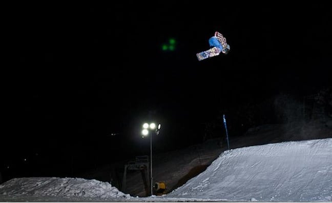
Jye Kearney sends it during the Perisher Nighttime slopestyle Series Image:: Courtesy of Burton Australia
Looking further into next week we could likely see some solid snowfalls, it is early days right now but the set up is looking great. “I think the real excitement is likely in about a week’s time. At the moment the models suggest that we won’t get the typical high pressure developing behind this front,” said The Grasshopper in his extended forecast analysis, “which could open the door for a big monster low sweeping up out of the Southern Ocean and over the resorts.”
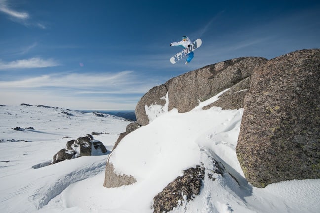
Going Big In Falls Creek Image::Chris Hocking
Resort Breakdown
NSW
Perisher 86 guns fired overnight in Perisher creating 5000m3 of manmade snow made adding to the 10cms that fell on Monday night. Winds are currently light from the southwest. 100% of the resort remains open with 47 lifts spinning. Plenty of freestyle terrain now on offer at Perisher with five terrain parks now open.
Charlotte Pass Saw 10cms fall overnight on Monday through Tuesday setting up the next few days beautifully. The sun is out today and an overnight low of -12.4 means the snow quality remains high. All lifts are open.
Thredbo Received 15cms on Monday night and temperatures remained cold after the clouds cleared. Snowmaking has been running in full force helping to maintain the snow on Thredbo’s lower lying runs. 100% of the resort is once again open after Monday’s snowfalls and the Anton’s advanced terrain park now features a 25ft, 35ft and 55ft jump.
VIC
Falls Creek All lifts are expected to operate for the next few days at Falls, winds are light from the northwest. If you wear yellow in support of Cadel Evans this weekend at Falls you can get a two day lift ticket for only $167
Hotham A sunny day in Hotham today with temperatures around about -4.8°C. Winds are light from the west-northwest, sunny conditions are expected to continue through to the weekend.
Mt Buller Sunny conditions in Mt Buller today with light to moderate winds from the northwest. These conditions will continue through to the weekend when we are likely to see some snow start to fall on Saturday evening.
Mt Baw Baw Snowmakers pumped out another 3cms of new manmade snow last night in Baw Baw, bringing the average snow depth to 42cm. All trails are open with 15 terrain features installed.
Conditions are at their prime across all the Aussie resorts at the moment. Over the next few weeks we are likely to see conditions improve even further with some promising August snowfalls if our luck holds.
There are a number of great events coming up including,
• Dew Hut Jam in Mt Buller this Saturday 30 July
• Thredbo Top to Bottom race on Saturday 6 August
• Australian Junior Snowboard Series at Perisher 12-13 August
• Thredbo Freeride Series kicking off on Tuesday 16 August
Ed Richards getting inventive in the backcountry Image::Mandy Lamont
We are now almost exactly half-way into season 2011, conditions are perfect, get out there and make the most of it, STOKED!
Perisher forecasts,
snow reports and
live snow cams.
Falls Creek forecasts,
snow reports and
live snow cams.
Mount Buller forecasts,
snow reports and
live snow cams.
Charlotte Pass forecasts,
snow reports and
live snow cams.
Hotham forecasts,
snow reports and
live snow cams.
Thredbo forecasts,
snow reports and
live snow cams.