Australian Forecast – A Dusting Up High NSW Today, Then The Snow Guns Set Us Up Nicely Tues & Wed
Mountainwatch | The Grasshopper
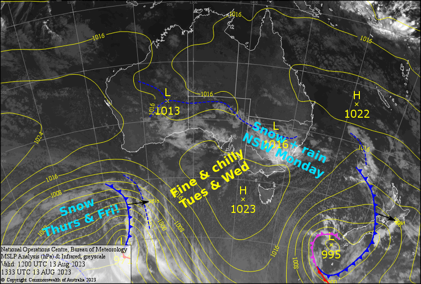
Written early Monday 14thAugust, valid to Wednesday 16thAugust
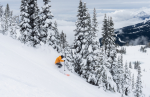
We took a step in the right direction over the weekend with a light dusting of snow combined with a fair amount of snow making. Further light snowfall today, mainly on mid & upper slopes of NSW, should see us staying up high as a weak low-pressure system passes us by to the north.
It’ll be calm with plenty of sunshine Tuesday and Wednesday as a high drifts over us, and cold overnight temps will allow the snow guns to keep the main runs in tip-top condition.
Monday 14th
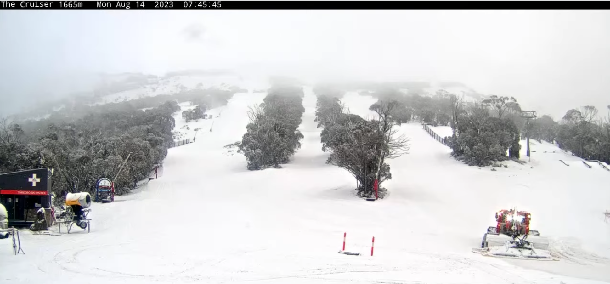
First up in NSW we have snow falling to about 1500m, but it’ll pin back to showers this morning as snow levels lift to about 1700-1800m, then it’ll clear tonight. Light winds.
Plenty of sunshine for Victoria this morning, but cloud will build this afternoon with a few snow showers, which will mostly show up on Baw Baw, while Buller should remain in the clear. Light winds.
Tuesday 15th
A calm, partly sunny/cloudy day with a chilly start, which should have the snow guns setting up the slopes nicely.
Wednesday 16th
The snow guns will be blaring again as we start the day clear and cold. A bit of cloud will pop up during the afternoon as a N-NW breeze kicks up.
Extended Forecast
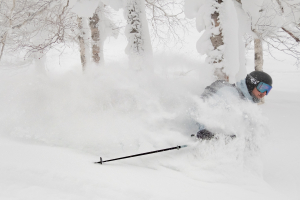
At last, I come bearing news of the first half-decent snowfall that we’ve seen in a long time, maybe in over a month? It’s been that long! First, a weak front will bring snow showers Thursday, before a more active front dumps a tidy 5-15cm to low levels on Friday. It’s not massive, but it will improve things massively, especially with some snowmaking thrown in.
We could see further snow flurries and showers over the weekend and during next Monday, possibly ticking up a few more centimetres. Early forecasts indicate further snowfall next Tuesday and Wednesday too, although we won’t count our lucky stars just yet.
That’s all from me today, folks. See you again Wednesday.