Australian Forecast – Chilly SW Winds on the Way with a Wee Top Up of Snow
Mountainwatch | The Grasshopper
Valid Wednesday 6thJuly to Friday 8thJuly
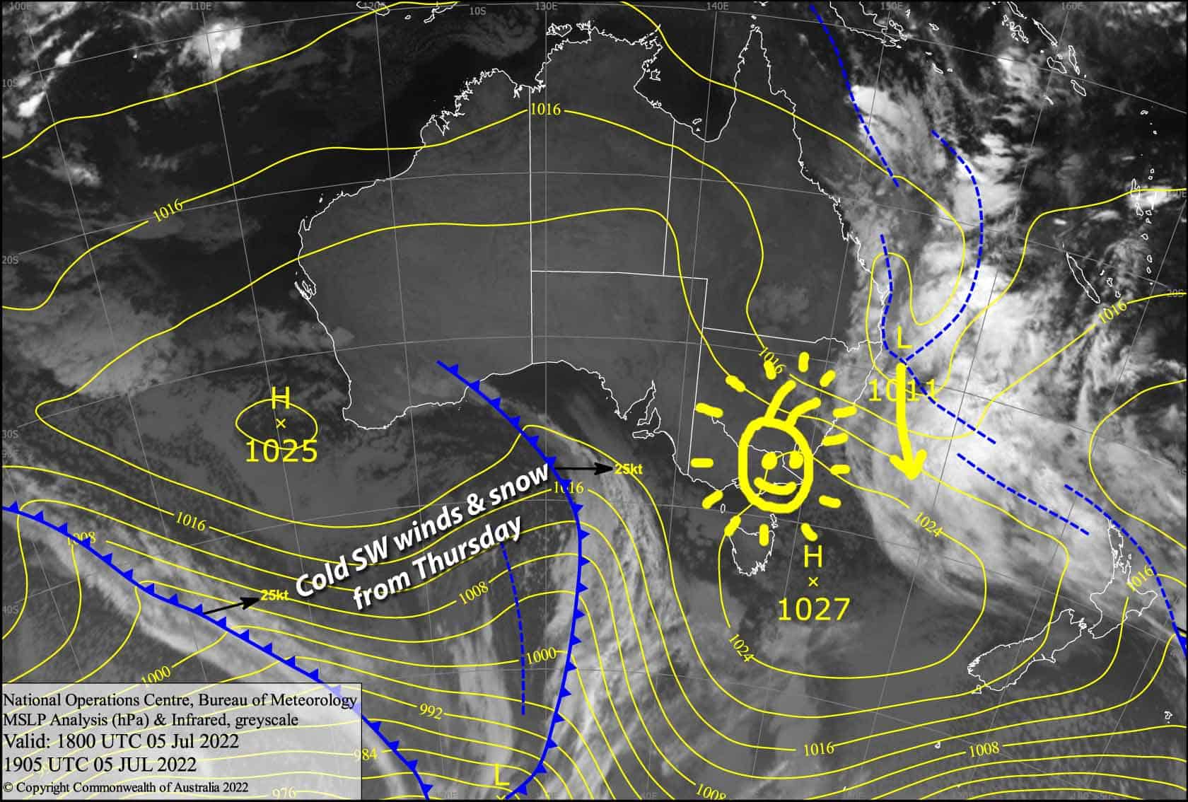
We’ve got a lovely day today, before a low in the Tasman and a weak low passing to the south pushes and pulls a chilly SW flow over the Aussie Alps on Thursday. Mt Baw Baw will be in the firing line and make the most of light snowfalls, which will become more vigorous and spread elsewhere during Friday as a trough embedded in the strong SW flow makes its presence felt.
Snowfalls will continue into the weekend, and when all is said and done Mt Baw Baw could stack on up to 10-15cm of fresh powder, while 2-5cm can be expected elsewhere.
Wednesday 6th
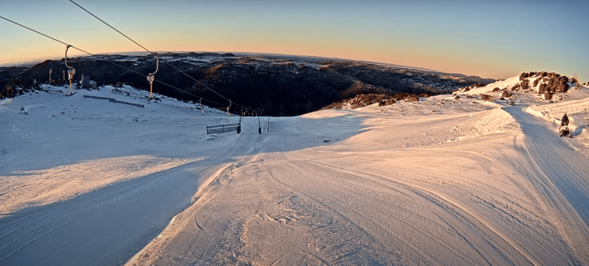
Only stars and the moon overhead at the mo, soon to be replaced by the sun. However, there is low-level cloud in NSW, which may affect lower slopes this morning and late afternoon. Little to no wind in Victoria, while NE breezes in NSW ease.
Thursday 7th
Chilly SW winds will increase through the day, pushing cloud and snow flurries over Mt Baw Baw. Some of that cloud will be reaching Buller for a partly cloudy, partly sunny day with a few snowflakes possible. A fine day elsewhere, but a little cloud should also show up for a time during the afternoon.
Friday 8th
Strong, chilly SW winds with light snowfalls over Baw Baw and Buller spreading to Hotham and Falls Creek during the morning, then to NSW resorts in the afternoon.
Extended Forecast
Snow showers continue through much of Saturday, with a few light flurries possibly also falling during Sunday while strong, cold S-SE winds ease.
Next week, a cold front should bring a decent pile of fresh snow during Tuesday. Lingering snow showers during Wednesday will fill the gap before a possible second cold front on Thursday possibly dumps another load of powder… fingers and antennae crossed!
That’s all from me today folks, get out there and make the most of these great conditions. I’m sending out these forecasts every Monday, Wednesday and Friday.
Grasshopper


