Australian Forecast, July 8th – A Bit Grey & Damp, but Light Snowfalls Later this Week
Mountainwatch | The Grasshopper
Published early Monday 8th July 2024
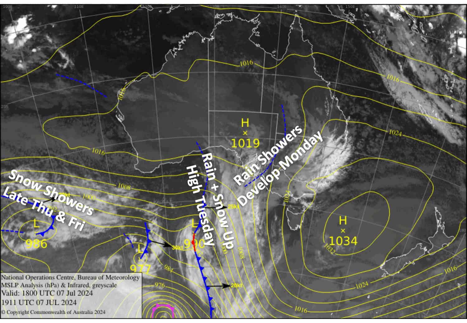
The long fine spell is coming to an end as things become mildly unsettled this week. First, a weak low-pressure system passes over us from late Monday, bringing mostly light rain which will start to fall as snow about the tops on Tuesday with up to 1-5cm expected there.
A weak front will then bring light snow showers late Thursday into Friday with about 2-8cm likely accumulating, but for the most part, it’ll be wet or dense about the lower slopes.
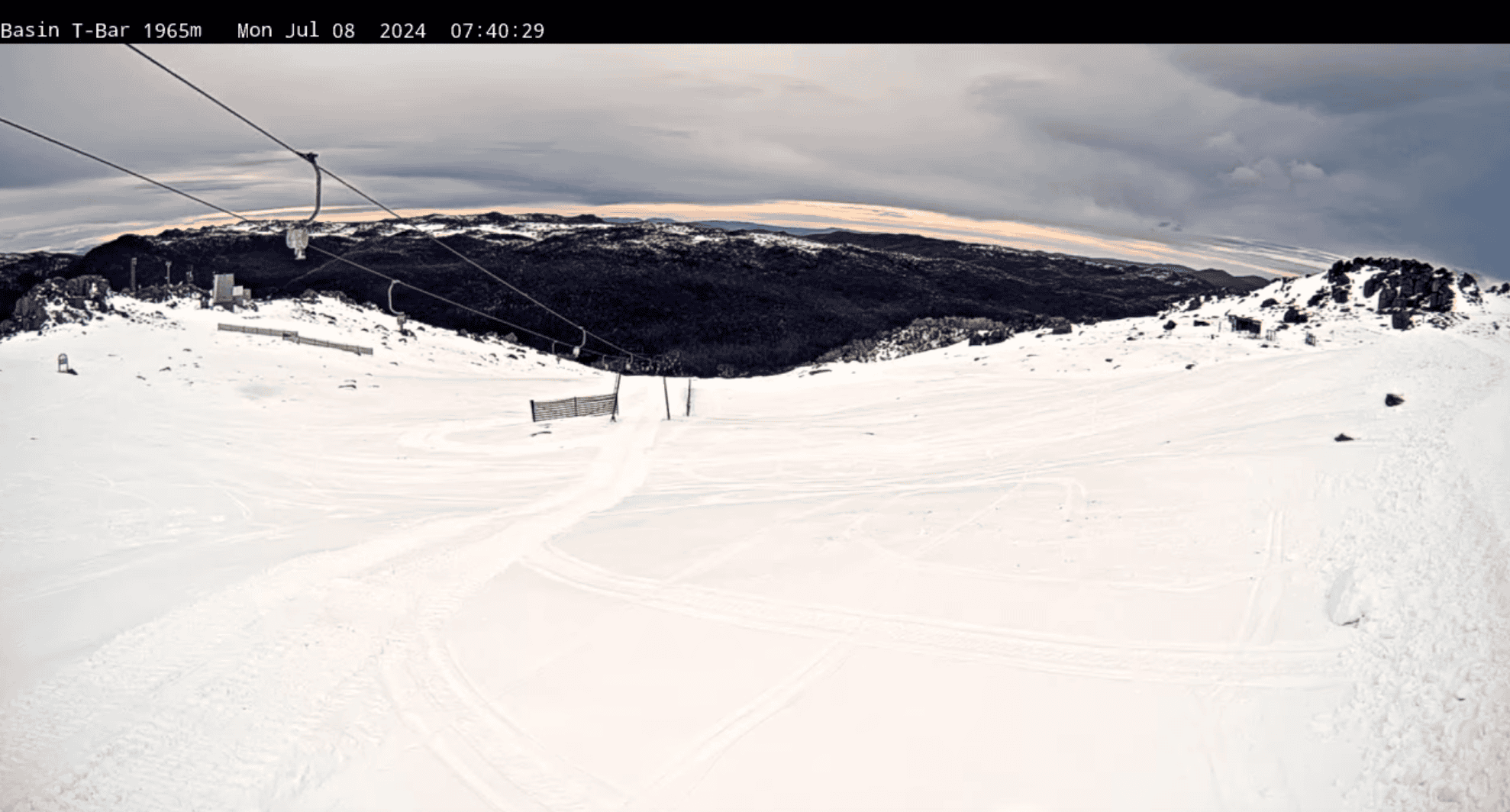
Monday July 8th
A grey ol’ cloudy day with a few light rain showers and brisk northerly winds. The showers will pick up in tempo in the evening.
Tuesday July 9th
Rain at times, mostly light but slightly heavier falls are expected on the Vic side in the morning. Snow falling above 1800-1900m. Light northerlies gradually turn S-SW.
Wednesday July 10th
Mostly cloudy with a light shower or two falling as snow up top. W-NW breezes.
Thursday 11th July
Cloudy with patchy drizzle on the Vic side and just high cloud over NSW alongside gusty NW winds. Snow showers down to about 1500m develop everywhere at night.
Extended Forecast
We may see some more light snow showers on Saturday before another front passes over us on Sunday, with a small top-up of several centimetres likely.
Following the front, a chilly S-SE flow may persist over the Aussie Alps for a few days starting Monday 15th July. This may push in a few extra snow flurries to some resorts while the snow guns should get a good run.
That’s all from me today folks. The next forecast is Wednesday, see you then and have a great couple of days.
Grasshopper


