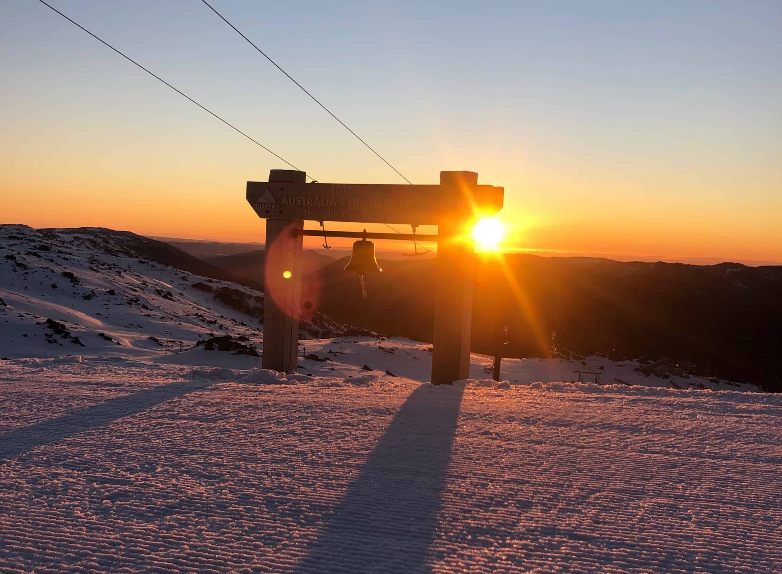
Australian Forecast Monday, September 7 – Little To No Snow On The Horizon As Spring Cycle Locks In
Mountainwatch | The Grasshopper
Valid Monday 7thSeptember – Thursday 10thSeptember
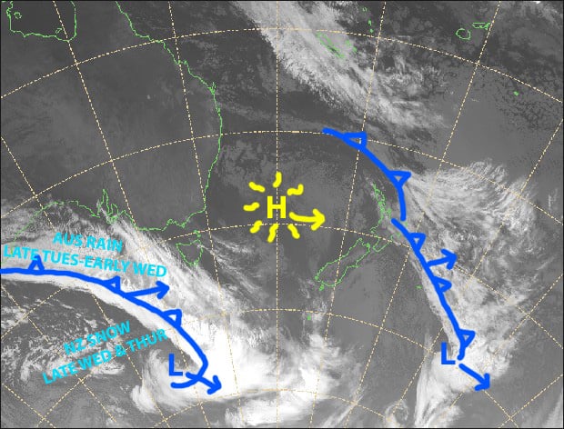
Strong, warm hairdryer northerlies will wreck havoc on our snowpack before yet another weak cold front brings rain and drizzle late Tuesday into early Wednesday.
A high will slide over Tasmania during Wednesday and Thursday, bringing more sunshine along with light easterly breezes – perfect for making the most of what will be left of the snowpack.
Monday 7th
Sunshine and strengthening warm, hairdryer N-NW winds, giving us soft and slushy spring conditions. Winds will be up at gale force in exposed places.
Tuesday 8th
Cloud increasing, then drizzle and rain spreading over Victoria during the afternoon and NSW during the evening. Hairdryer N-NW winds will be on turbo mode, reaching severe gale in exposed places, but will start to abate from afternoon.
Wednesday 9th
Rain or drizzle in NSW should clear by the time chairlifts start turning as NW winds die out, then blue skies increase as a cooler, light SE-E breeze develops.
Thursday 10th
Sunny with light E-NE breezes.
Extended Outlook
Warm northwesters will kick in again Friday and Saturday before another weak cold front passes overhead Saturday night and Sunday. This front will mostly bring rain, but if we’re lucky, some of it will fall as snow about the tops.
A ridge of high pressure is likely to build early next week, bringing mostly fine weather before yet another weak cold front possibly brings a spot of rain with a little to no snow up top.
It appears we will be locked into this sequence of events until late September, by which time the Southern Annular Mode is expected to come out of a negative phase and into a positive one, further reducing our chances of snow.
That’s all from me, get out there and enjoy.


