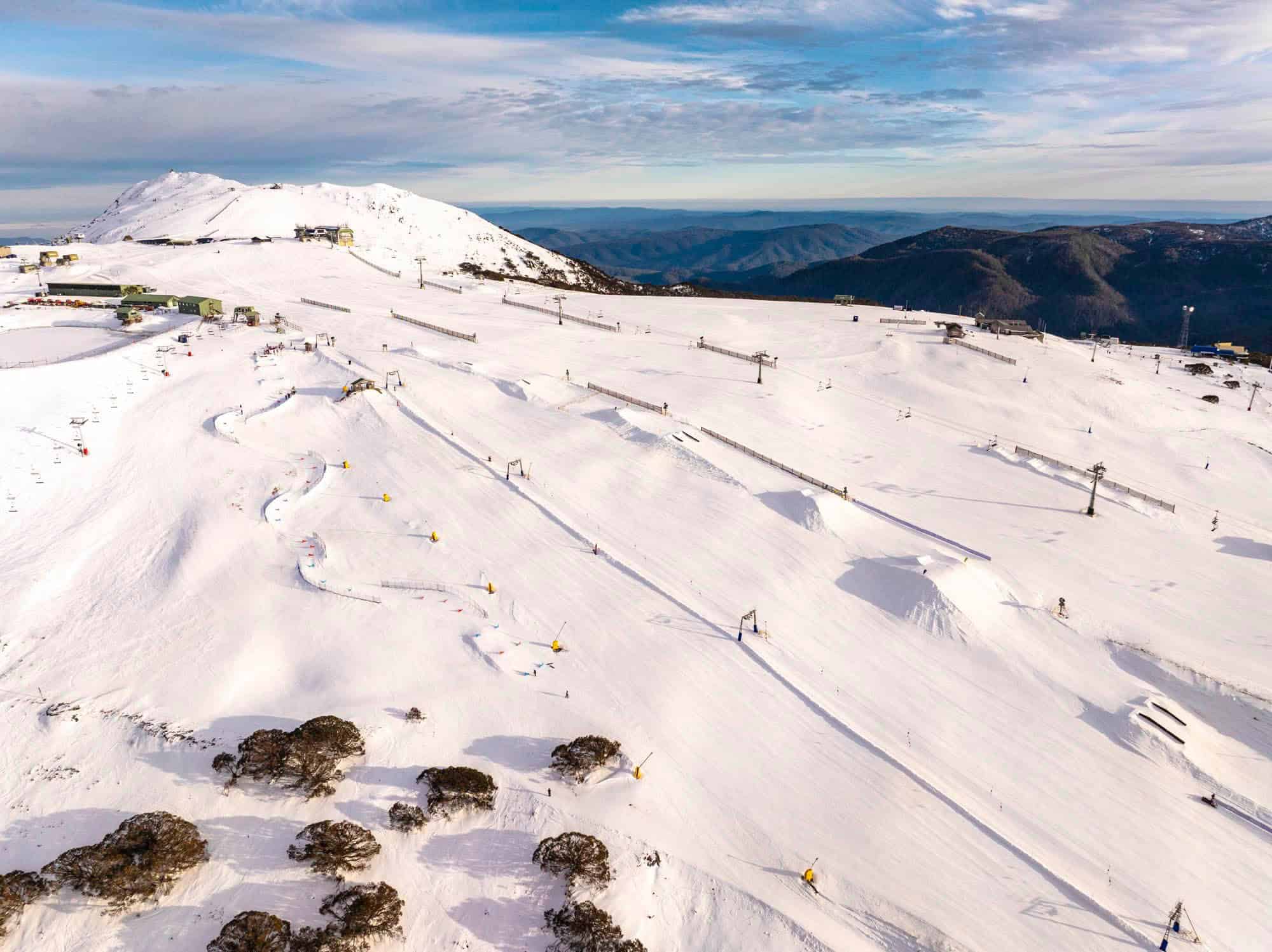
Australian Forecast, Wednesday August 14th – Front Brings Rain on Friday, then a Top-Up of Snow this Weekend
Mountainwatch | The Grasshopper
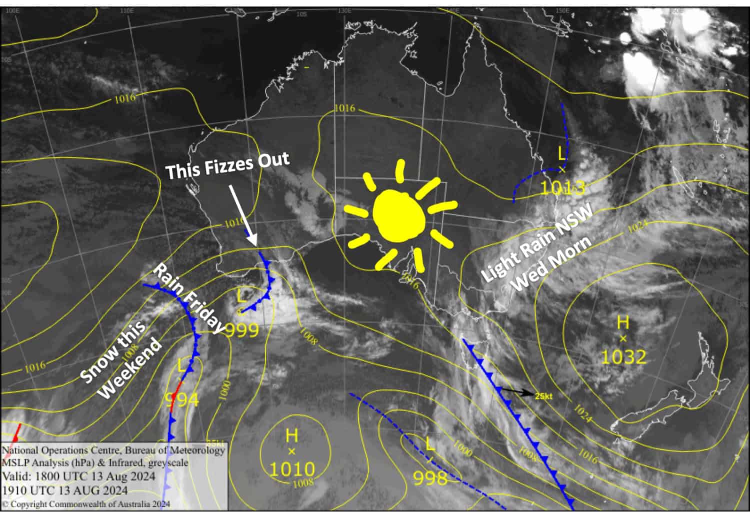
Moisture pushing into eastern Australia from the Coral Sea will bring light rain to New South Wales this Wednesday morning. It’ll be nothing too serious, thankfully, so damage to the snowpack should only be slight and will set up soft, slushy conditions to slide on.
A ridge will give us clear, calm conditions for Thursday before an active front spreads rain and strong NW winds eastwards over the Aussie Alps on Friday, causing more significant damage to the snowpack. However, colder winds on Saturday will bring about 5-10cm of snow above 1500-1600m, with several more centimetres possible up high, undoing much of the damage and freshening up the place.
Wednesday August 14th
Light rain over New South Wales will peter out in the morning and clouds will clear for some sunshine in the afternoon. It’ll be a fine, sunny day for Victoria. NW winds become light in the morning.
Thursday August 15th
A fine day with a little high cloud and light winds.
Friday August 16th
Rain spreads east over Victoria in the morning and New South Wales in the afternoon, while NW winds become strong and gusty. Some resorts may even see and hear thunderstorms! The rain will turn to snow up high at night as colder air arrives.
Saturday August 17th
Snow falling up high will lower to around 1500-1600m early in the morning but will gradually lift a little throughout the day before clearing at night as gusty W-NW winds turn SW. However, rain will continue falling on Mt Baw Baw through the night.
Extended Forecast
A change to even colder southerlies will bring a little more snow on Sunday and the potential to make some snow.
Early next week, high pressure will likely bring clear, calm conditions for Monday before strong NW winds bring showers of rain and high-level snow across Tuesday and Wednesday as a low-pressure system slides underneath the Aussie Alps.
Our next chance for snow is around next Friday, the 23rd of August. Another cold change is on the cards and looks set to bring a top-up of powder.
That’s all from me today, folks. The next forecast is Friday. See you then, and have a great couple of days.
Grasshopper


