Australian Forecast, Wednesday, June 26th – Snow Showers Wednesday & Thursday, Gnarly on Saturday, then another Top-Up from Sunday
Mountainwatch | The Grasshopper
Published early Wednesday 26th June 2024
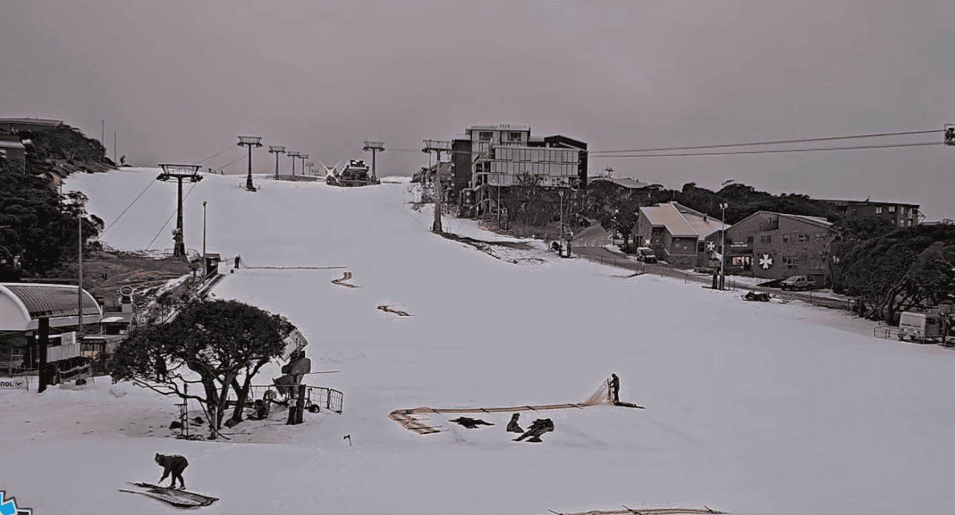
Snowflakes started falling up high overnight and Reggae and the crew will have all the updates from this in their morning snow reports, so be sure to check them out.
Snow will continue to fall through Wednesday into Thursday as a low-pressure system passes underneath us. Snow levels will drop to near base levels early Wednesday as colder air pushes in from the NW, and we should be left with a tidy 5-15cm top-up once it all clears late Thursday, although lower totals are expected at Mt Baw Baw.
Friday will be a bit grey for Victorian resorts, then a strong NW front will bring rain and high-level snow on Saturday. Conditions will be gnarly, but we could see significant accumulations up top, although it’ll be dense stuff. A change to colder airmass on Sunday is likely to bring snow showers over a two or three-day period, equating to another top-up.
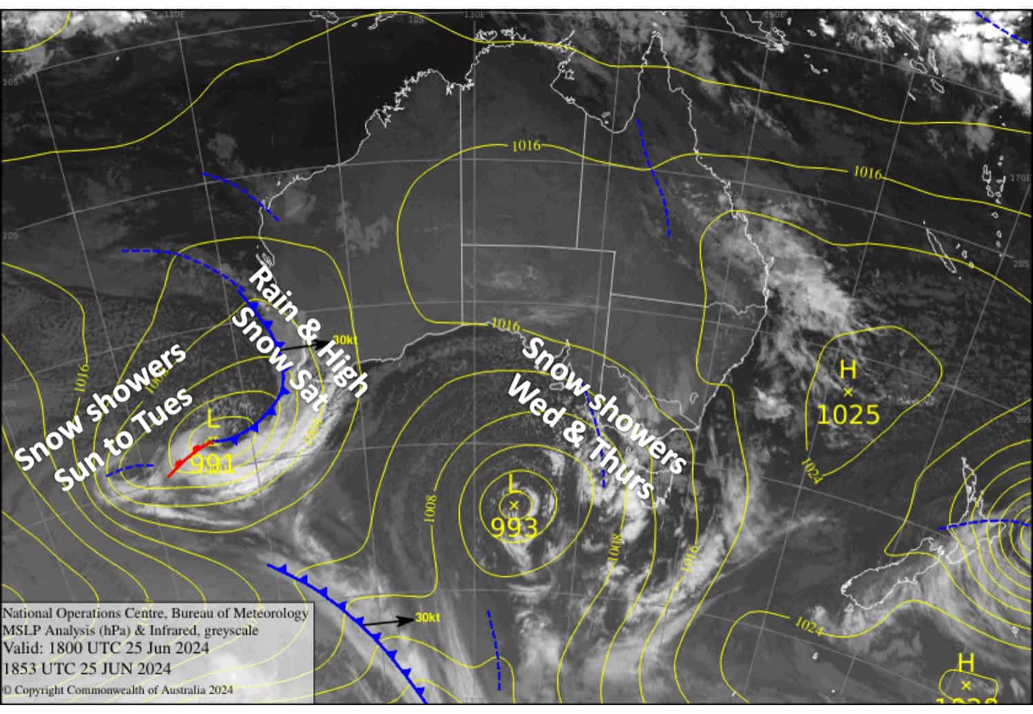
Wednesday June 26th
Snowfalls will continue throughout the day, falling up high during predawn hours, but lowering to around 1300-1400m this morning when the heaviest falls will be. The snow will back off a little this afternoon, becoming more intermittent, while snow levels lift a little to around 1400-1500m. Strong gusty NW winds will make for significant wind chill and visibility will be limited.
Thursday June 27th
Light snowfalls down to 1400-1500m gradually peter out during the latter half of the day. Wind chill and limited visibility will still be something to contend with as brisk NW winds abate.
Friday June 28th
Cloud will hang about Victoria with a little drizzle possible as NW winds pick up there. NSW resorts will be mostly fine and sunny.
Saturday June 29th
A day for the keenest and bravest as NW winds will likely reach severe gale while rain and high-level snow spreads eastwards throughout the day with heavy falls possible. Take care as wind chill and limited visibility will be a factor.
Extended Forecast
Colder air starts to arrive Sunday 30th as the low passes underneath us, bringing snow showers to fairly low levels. The snow showers will continue through Monday July 1st before eventually petering out on Tuesday July 2nd . At this stage, roughly 5-20cm looks to be the go, but we could see a bit more at higher elevations. High pressure will likely keep things settled for a few days after that. Not a bad way to start the new month.
That’s all from me today folks. The next forecast is Friday. See you then and have a great couple of days.
Grasshopper


