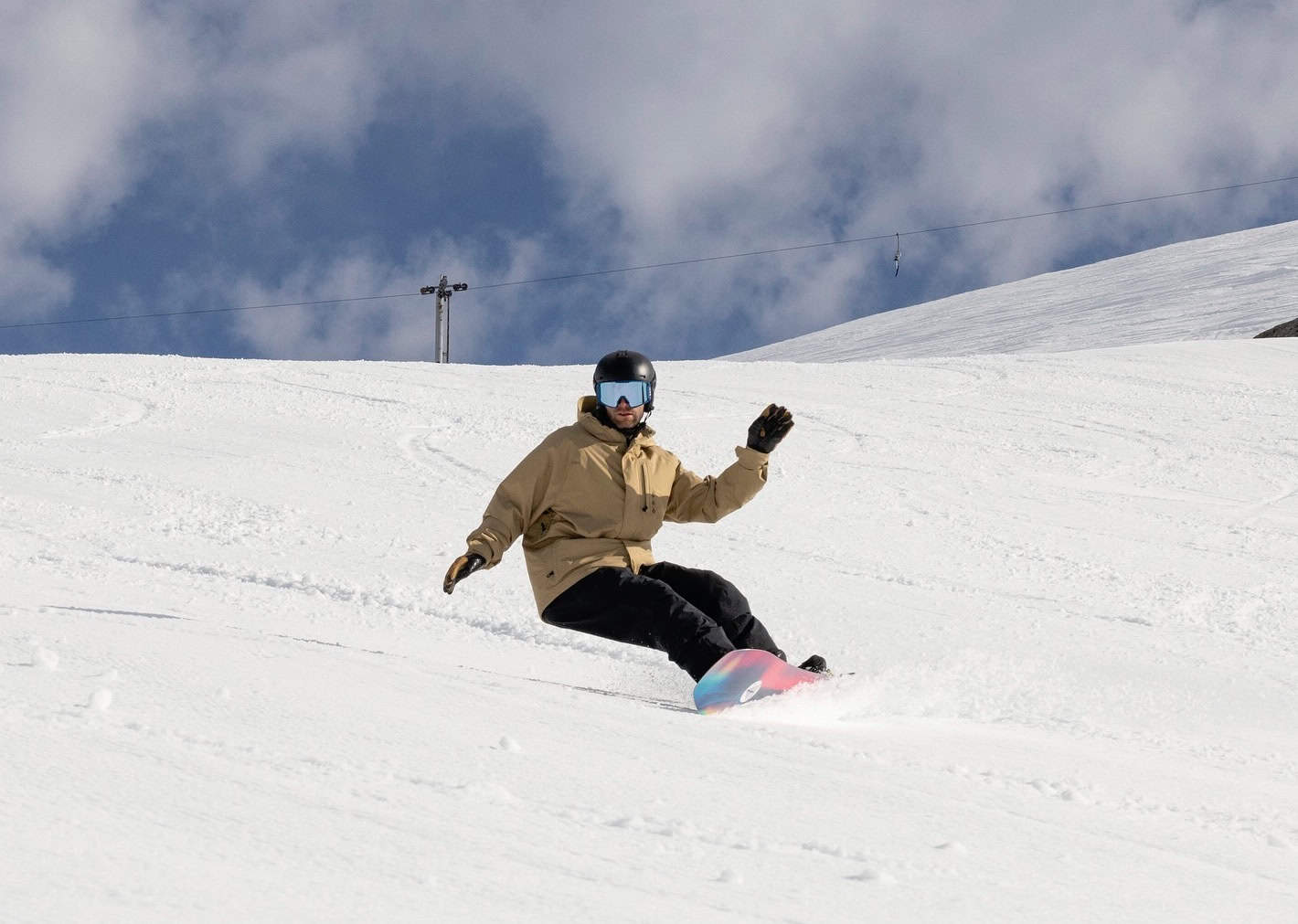
Australian Weekend Forecast, August 23rd – Wet and Windy, but There’s Snow in the Mix
Mountainwatch |The Grasshopper
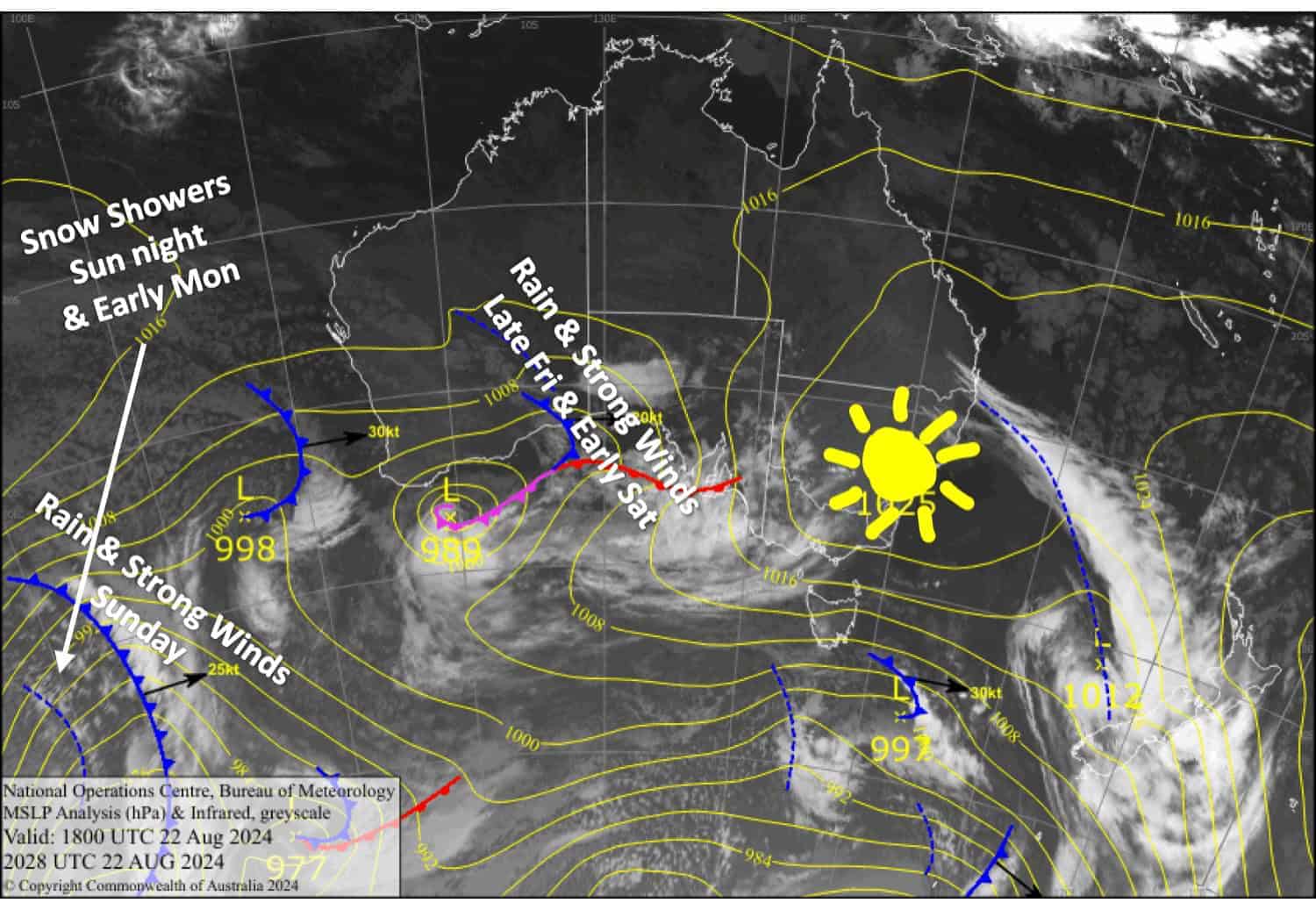
Conditions will continue to rise and fall over the next week or so as a series of frontal systems caught up in a strong westerly flow bring wet and windy weather to the Aussie Alps.
The first front will start to hit late Friday, the worst of the weather thankfully falling outside of operating hours but will hammer the snowpack. The second front arrives Sunday with heavy rain and strong, warm winds also doing some damage. However, colder air will arrive Sunday night and will drop about 5-10+ cm of snow above about 1600m through the early hours of Monday, which will go some way in repairing the damage.
Friday August 23rd
A mostly fine day with high clouds and brisk northwest winds. However, Victoria will be murky with mountain fog first thing. Rain spreads east over the Aussie Alps in the evening.
Saturday August 24th
Rain clears early morning, then clouds clear for a sunny afternoon as gale northwesterlies start to batten off.
Sunday August 25th
Showers developing, turning to rain in the afternoon with heavy falls as northwesterlies gradually rise to gale-severe gale. The rain backs off to showers at night while snow levels lower to around 1600m.
Monday August 26th
Showers, falling as snow to around 1500-1600m at first, will gradually back off during the afternoon as snow levels lift to high altitudes. Gale westerlies will also start to ease in the afternoon while turning northwest.
Extended Forecast
The great migration of fronts will continue through next week, with winds likely to reach eye-watering speeds. We’ll also see frequent precipitation from about Wednesday onwards, which will likely fluctuate between rain and snow as cooler airmasses come and go with each passing front. Overall, we could see a decent amount of snowfall during this time, particularly on the upper slopes, while the lower slopes will be a mixed bag.
That’s all from me today, folks. The next forecast is Monday. See you then, and have a great weekend.
Grasshopper


