Australian Weekend Forecast, Friday July 25th – Whopper Storm to Bring Heavy Snowfall Up High
Mountainwatch | The Grasshopper
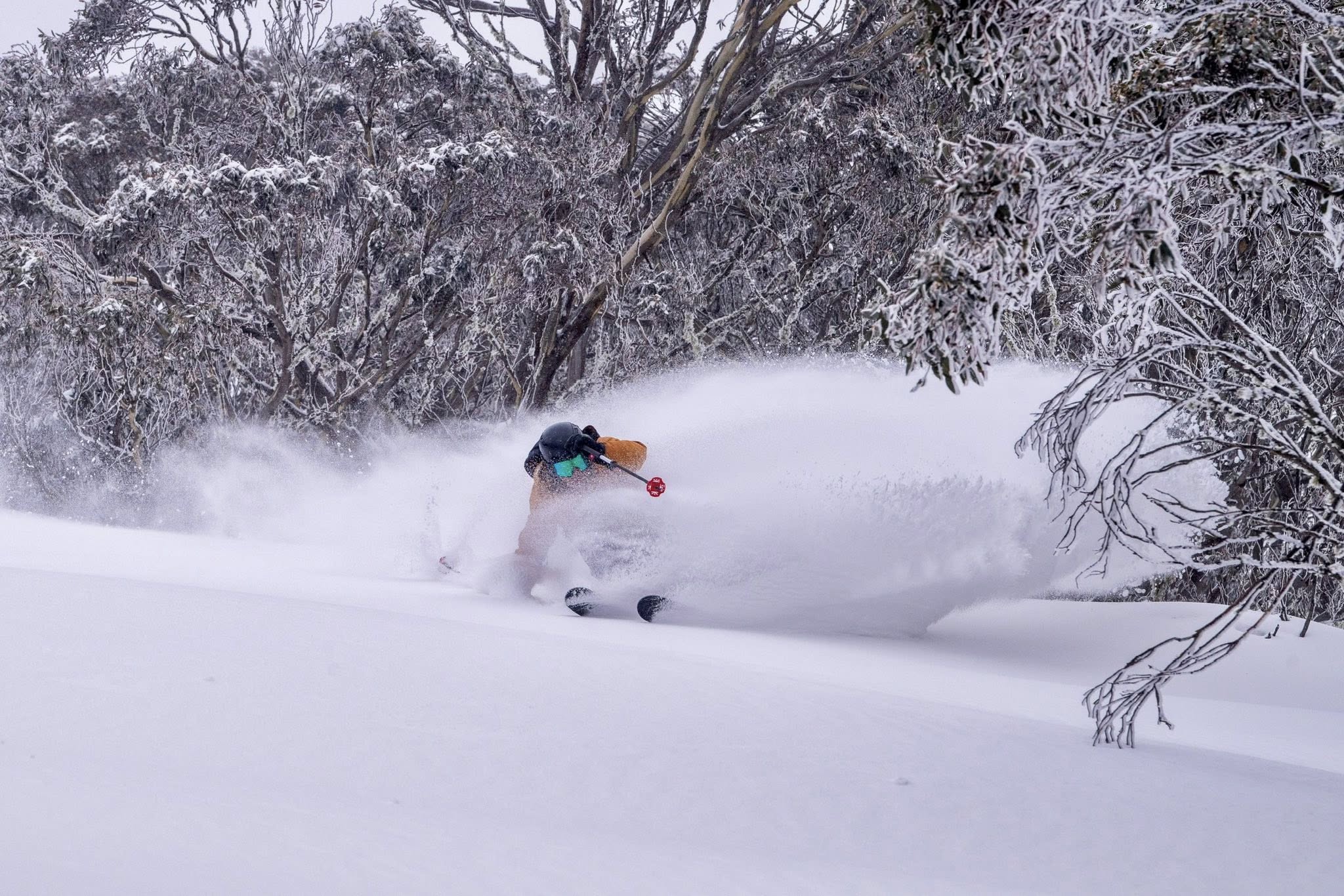
Snowpack conditions are superb after that 10-15cm top-up of snow Tuesday night and Wednesday, while the snow guns have also had a good run.
Clouds and northerly winds build today, Friday, ahead of the next storm, which rolls in Friday night, and won’t roll out until Tuesday. It’ll be a whopper of a storm, and will primarily bring heavy snowfall to mid-upper slopes throughout the weekend and Monday, while winds go crazy again. Accumulations may be as deep as 65-85+ cms about the tops. However, a lot of rain is expected on the lower slopes, but we should be left with a dusting of snow down there from the storm’s cold tail on Tuesday.
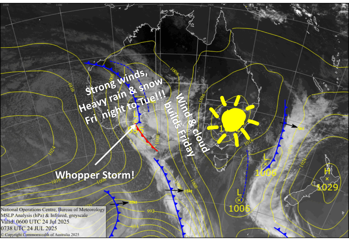
Friday 25th July
High cloud builds as mild northerly winds strengthen.
Rain and mid- to high-level snow spreads east over the Aussie Alps at night, with heavy falls likely.
Saturday 26th July
Snow will continue to fall about the upper slopes throughout the day, with heavy falls on the cards, but rain will fall lower down. Northerly winds will be howling at first, but will back off a touch throughout the day.
Sunday 27th July
Rain and snow continues to fall throughout the day. Snow levels will be a little lower, mostly around 1500-1600m, with accumulations continuing to rack up above that. Northwesterlies will be strong in exposed areas.
Monday 28th July
Snow continues to fall to 1500-1700m throughout the day, with rain below that. Strong gusty northwesterlies gradually turn westerly.
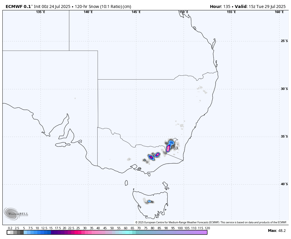
Extended Forecast
The tail end of the storm will see snow levels dip a little more on Tuesday to around 1400m before petering out later in the day as winds finally die out.
The next storm system is expected to roll in quickly the following day, Wednesday July 30th. This one isn’t expected to be as strong, but it will bring colder air and nothing but lighter snowfall to base levels into Friday, July 1st or Saturday, July 2nd, adding a nice, fluffier layer to the previous snowfall.
That’s all from me today, folks. I’m sending out these forecasts every Monday, Wednesday and Friday throughout the season. Have a great weekend, and I’ll see you back here on Monday.
Grasshopper


