Australian Weekend Forecast, Friday June 21st – A 2-5cm Dusting Friday, then Sunny this Weekend & Monday
Mountainwatch | The Grasshopper
Published early Friday 21st June 2024
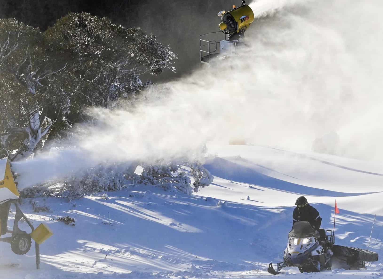
The weak weather system that rolled over us last night brought little more than a couple of snowflakes. However, temps have stayed nice and cold for the snow-making teams to continue working their magic and the skiable terrain is expanding and thickening.
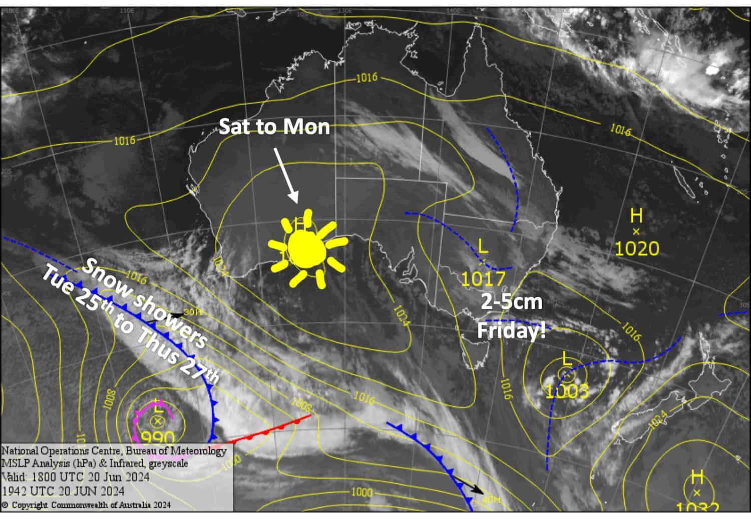
As the weak system rolls into the Tasman Sea today, Friday, it will bring an extra southerly push over the Aussie Alps with about 2-5cm of the natural stuff falling over a few hours. Skies will then clear up for a sunny weekend and a mint Monday, with sub-zero overnight temps allowing more snow to be made.
Friday June 21st June
S-SE winds pick up over the Aussie Alps, spreading cloud and snow over Vic this morning and then NSW this afternoon. The snow will last a few hours before clearing with around 2-5cm accumulating above 1400m, although Mt Buller will likely miss out.
Saturday June 22nd
A chilly start for the snow guns to add to the fresh snowfall and any morning cloud will clear for a mint day. Southerly winds ease while turning SE.
Sunday June 23rd
A nice sunny, calm day.
Monday June 24th
Fine with a little high cloud and NW winds picking up.
Extended Forecast
The outlook is looking more promising as a couple of low-pressure systems passing over the Southern Ocean are likely to bring snow to the Aussie Alps, first from Tuesday 25th to Thursday 27th of June, then again over during the weekend of 29th & 30th of June. It’s early days, but snowfall accumulations could be decent.
That’s all from me today folks. The next forecast is Monday, see you then and have a great weekend.
Grasshopper


