Australian Weekend Forecast, June 28th – Gnarly Weather this Weekend as an Active Front Brings a Dump of Dense Snow Up High and a Dusting Down Low
Mountainwatch | The Grasshopper
Published early Friday 28th June 2024
Snowfall earlier in the week has seen NSW resorts score a top-up of up to 15cm above 1700m. However, it was wet dense stuff, good for base building, but perhaps a little too wet for significant accumulations in Victoria where reports ranged between 1 and 6cm, although Hotham had 10cms in 24 hours.
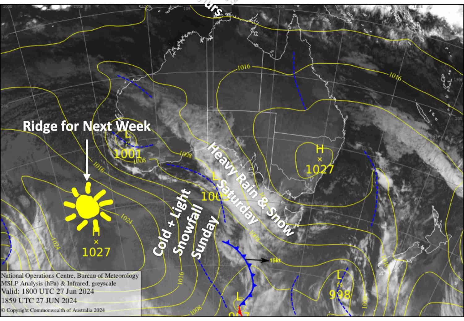
This weekend will see an active front crossing the Australian Alps, bringing severe gales, heavy rain and high-level snow on Saturday, then light snow showers to low levels on Sunday.
Precipitation figures for this event are up around 25-35mm for NSW and 15-25mm for Victoria. Most of that will fall on Saturday, so we could see close to those figures in centimetres for snowfall up high, but much less down low – something like 5-10cm if we’re lucky.
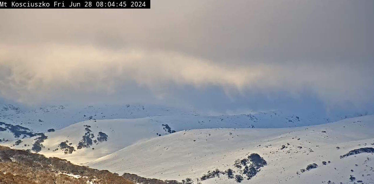
Friday June 28th
Nice and cold to start with the snow guns blazing. NSW resorts will be clear and sunny, but clouds will hang about Victoria with a little drizzle here and there. Gusty NW winds strengthen, becoming strong in exposed areas.
Saturday June 29th
A day for the keenest and bravest as NW winds will likely reach severe gale in exposed areas, while rain and dense mid-high level snow spreads eastwards over Victoria during the morning and then NSW during the afternoon. There’ll be heavy falls with significant snow accumulations up high, but rain is likely on the lower slopes. Colder air arrives at night/overnight as it all eases back to snow showers to low levels.
Sunday June 30th
Remaining snow showers gradually clear and the cloud cover will begin to break up. Buller is unlikely to see any of these snow showers, but brisk, cold southerlies will be great for manufacturing snow.
Monday July 1st
A mostly fine day, but a cold E-SE breeze will push in some low-level cloud which will sully the slopes of Baw Baw and possibly the base levels of other resorts before the breeze eases in the afternoon. Another good day for making snow.
Extended Forecast
A ridge of high pressure sitting underneath us will likely keep things settled through the rest of next week. Temps should stay cold at least Tuesday 2nd to Thursday 4th of July for a good stint of snowmaking, but cold easterly winds may push in some low-level cloud at times.
That’s all from me today folks. The next forecast is Monday. See you then and have a great weekend.
Grasshopper


