Grasshopper’s Australian Weekend Forecast, Friday July 11th – Lingering Snowfall Friday As Storm Winds Down, Another Shot Sunday Night
Mountainwatch | The Grasshopper
Published early Friday, 11th July 2025
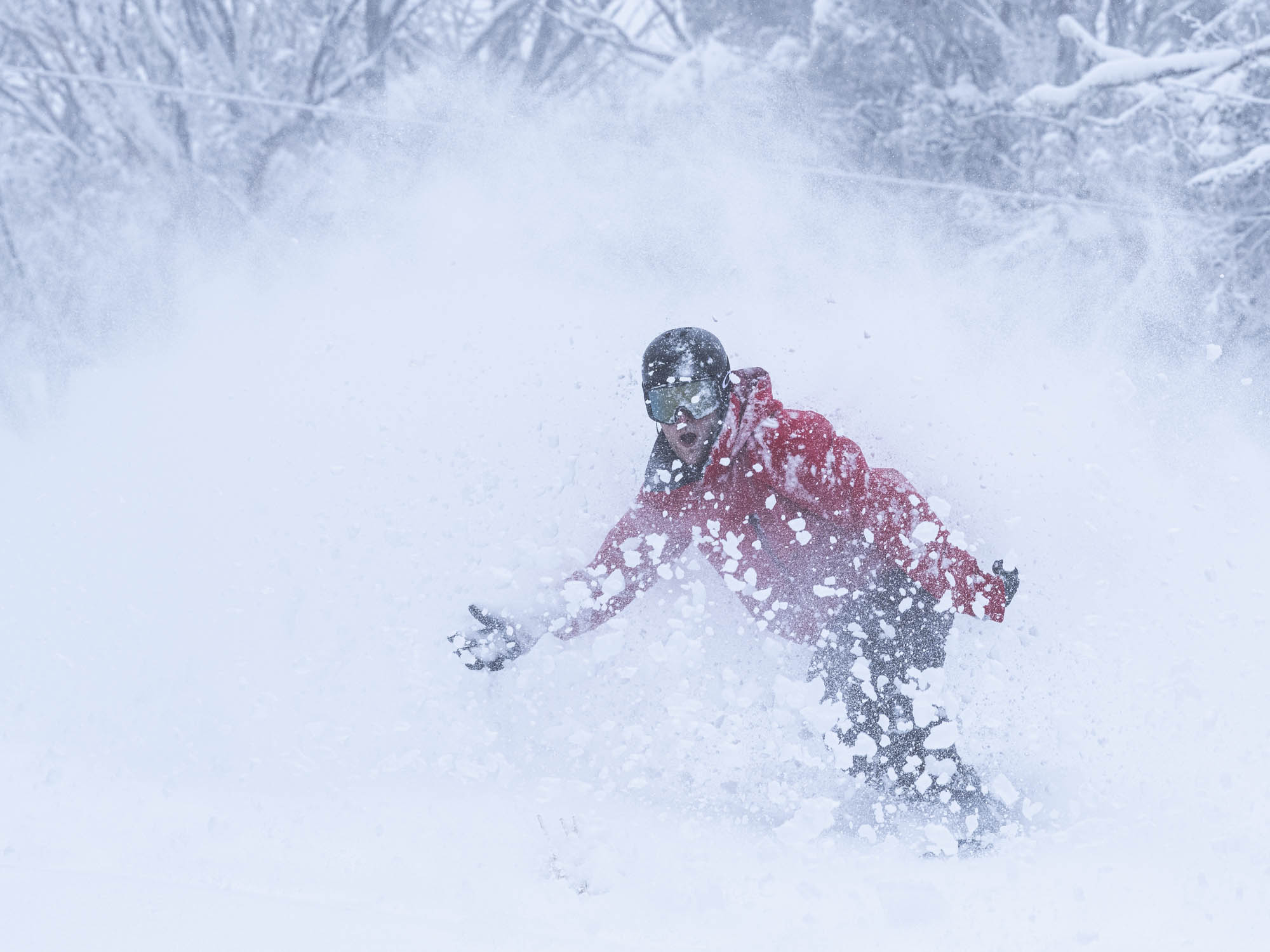
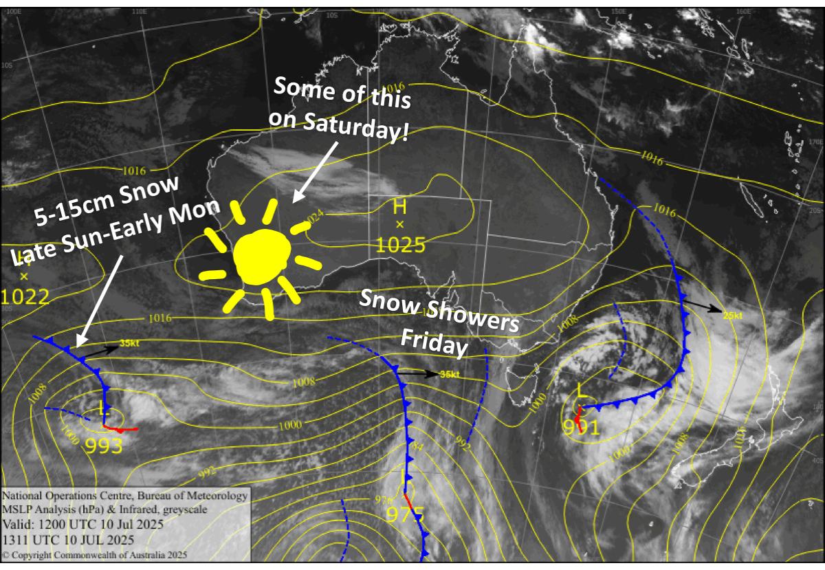
We’re in the final throes of a snowstorm that hit on Tuesday. The stronger, second stage of the storm got underway Wednesday night, with 10-20cm of fresh powder accumulating by Thursday morning. Since then, almost 20cm more has piled up on the Perisher Snow Stake at the time of writing. Reggae and the crew will have final numbers out first thing this morning.
Resorts will pick up several more centimetres today, Friday, before the last of the snowfall clears after dark. But that’s not all; another front will add an extra 5-15cm above about 1600m from late Sunday into early Monday.
Friday 11th July
Light snowfalls continue throughout the day, and eventually dry up in the evening or overnight. However, snow levels will gradually lift above 1600-1700m during the second half of the day, making it a little soggy down below. Gusty west to northwest winds will be strong in exposed places.
Saturday 12th July
It’ll be cloudy for a large portion of the day, but the sun will show up at some point. West to southwest winds. Patchy drizzle develops in western Victoria at night.
Sunday 13th July
Patchy drizzle in western Victoria spreads east throughout the Aussie Alps while turning to snow above 1600m during the afternoon, becoming heavier for a time at night as a front from the west passes over. Northwest winds will rise to a strong gale in exposed places.
Monday 14th July
Mostly cloudy with snow flurries, mostly in Victoria, and chilly west to southwest winds turning northwest.
Extended Forecast
The rest of next week will likely bring snow showers most days as several weak weather systems brush the Aussie Alps. However, snow levels may lift above base levels at times, and there is a chance for heavier snowfall next Friday and Saturday if we’re lucky.
That’s all from me today, folks. I’m sending out these forecasts every Monday, Wednesday and Friday throughout the season. Have a great weekend, and I’ll see you back here on Monday.
Grasshopper


