Grasshopper’s New Zealand Weekend Forecast, Friday, July 25th – Head Up Before it Turns Ugly Next Week
Mountainwatch | The Grasshopper
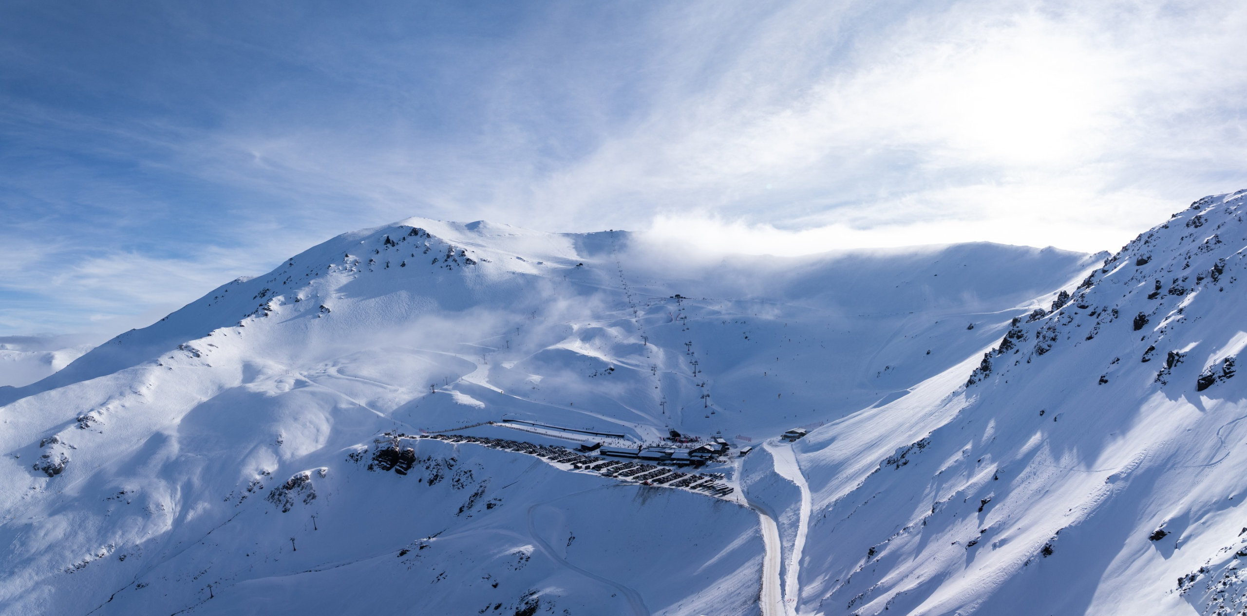
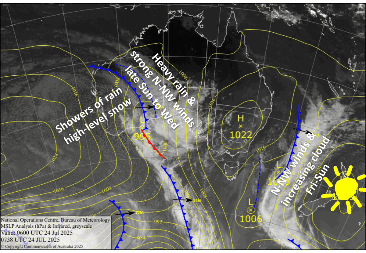
We’ve had an amazing run of fine weather over the country this week, but northwest winds will be fairly strong at times over the South Island during the next few days as clouds gradually gather ahead of a building frontal system in the Tasman Sea.
The front has delayed its onslaught by about 24 hours since the previous forecast, and will now spread heavy rain northwards over the country after the weekend, starting with the Southern Lakes from late Sunday, then later Canterbury on Monday and finally Mt Ruapehu on Tuesday. North to northwest winds will be warm and horrendously strong, too. So, be sure to head up the hill today, Friday, and this weekend, to sneak in some runs before this system hits.
Friday 25th July
Another fine day across the country, with just high cloud over the Southern Lakes, and maybe a little bit lower down for Treble Cone. However, northwest winds will become strong in exposed areas of the South Island.
Saturday 26th July
A fairly cloudy day for the Southern Lakes, while ski fields elsewhere will remain mostly clear and sunny. Northwest winds start off quite strong over the South Island, but will gradually back off throughout the day.
Sunday 27th July
A slow moving front approaches the South Island, bringing mostly cloudy skies there, especially for those ski fields closest to the Main Divide, such as Treble Cone and Temple Basin where there may be a few showers of rain and high-level snow. Northwest winds will be strong in exposed areas.
After dark, the front spreads rain over the Southern Lakes.
Monday 28th July
Rain continues over the Southern Lakes, with potentially heavy falls, and will gradually spread up Canterbury later in the day as the front drifts northwards. Strong north to northwest winds over the South Island will blow a gale in exposed areas.
Low-level cloud and drizzle will also develop on Mt Ruapehu later in the day as northerly winds pick up there.
Extended Forecast
Heavy rain and horrendously strong, warm northerly winds over the South Island spread to the North Island on Tuesday, but it will all eventually ease to showers of rain and high-level snow on Wednesday as the front finally crosses the country, bringing a cooler northwest change.
There’ll barely be a break in the action before the next storm system hits the country on Thursday, the 31st of July, or Friday, the 1st of August. There’s still a lot of uncertainty around this one, but it’ll likely bring another bout of rain initially, especially to the North Island and upper South Island, followed by a cold change and a period of snow.
That’s all from me today, folks. I’m sending out these forecasts every Monday, Wednesday and Friday throughout the season. Have a great weekend, and I’ll see you back here on Monday.
Grasshopper


