Grasshopper’s Weekly Japan Forecast, January 2nd, 2025 – Japan’s Firing
Mountainwatch | The Grasshopper
Written Friday morning, 2nd January (Japan Standard Time)
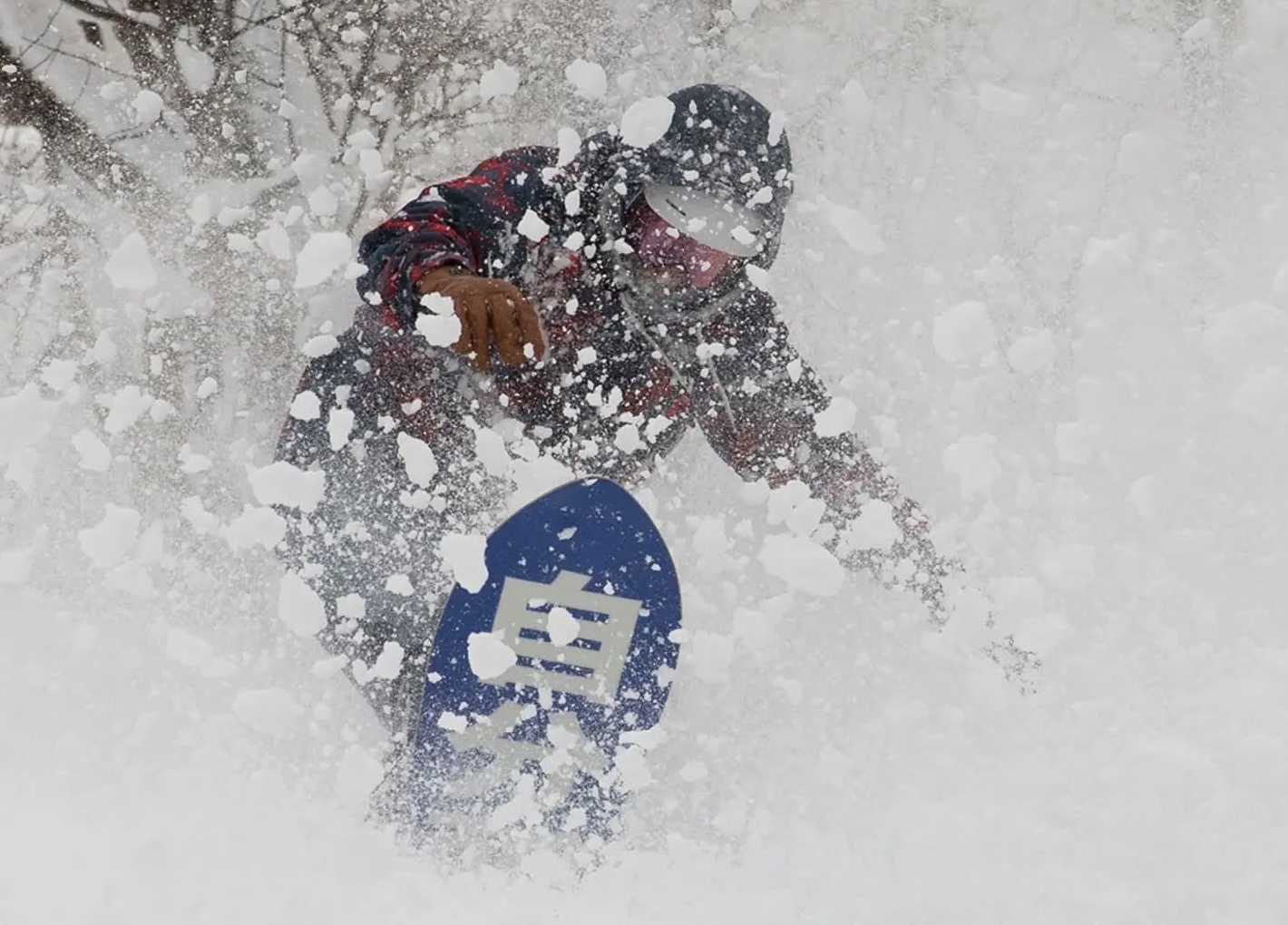
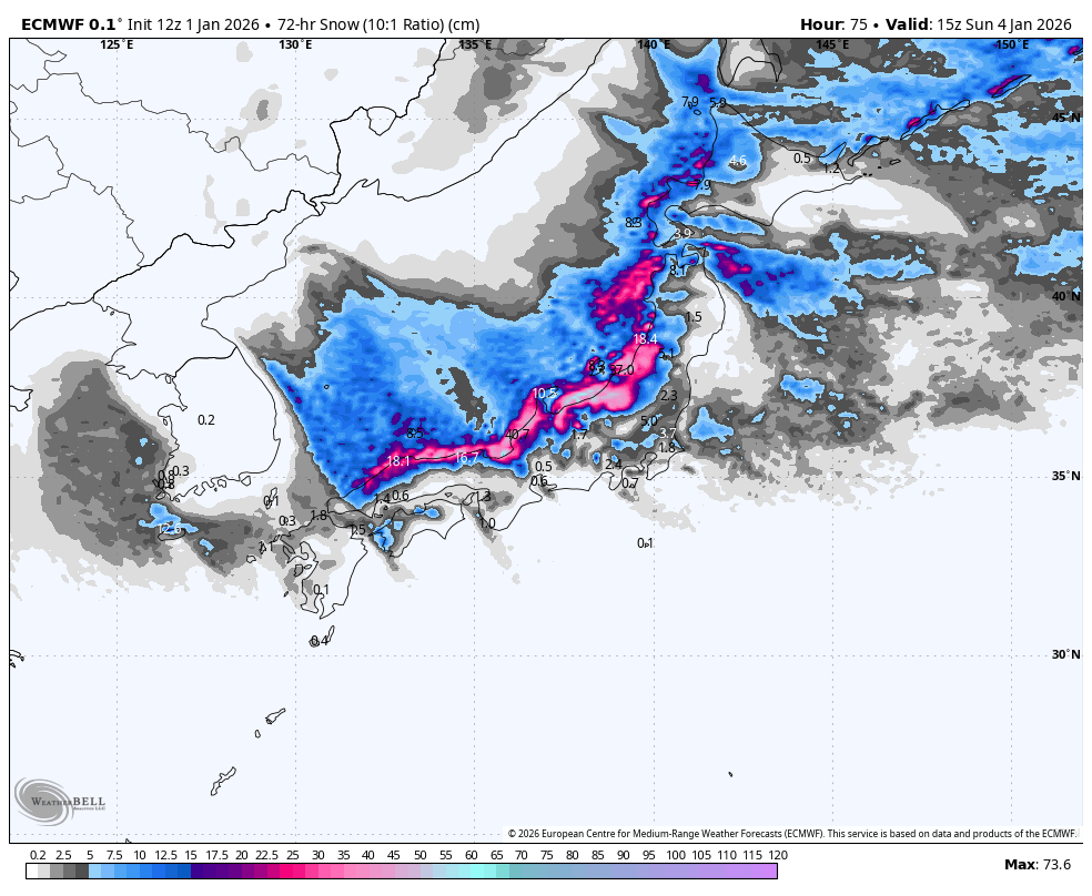
Once it starts, it hardly stops here in Japan. After the Boxing Day Storm delivered deep powder over a two-to-three-day period, the next storm rolled in late New Year’s Eve with big numbers showing up once again for the first snow reports of 2026, including a whopping 70cm for Geto Kogen and 30cm for Myoko.
The current storm cycle will continue for the next several days, with an extra surge on Sunday keeping the snow falling across the country through into Tuesday. More big numbers are expected. High pressure will then bring a brief pause in the action, before a passing Pacific storm triggers another dump of powder Thursday into Friday.

Friday January 2nd to Sunday January 4th
The New Year’s storm will continue dumping snow over Central Honshu during the next three days, with totals mostly ranging from 25 to 70 cm. There’ll be heavy snowfall at times, especially in the north of the region, but will back off from the south late Saturday through early Sunday as the storm winds down. However, snowfall will ramp up again from late Sunday as the next storm surge arrives from the north.
Further north, snowfall will be lighter and more sporadic, with some blue sky even showing up, especially over Northern Honshu. However, the next storm surge will arrive earlier on Sunday, with an increase in cold west to northwest winds pushing in more consistent light-to-moderate snowfall. A tidy three-day accumulation of 10 to 30 cm is expected, which resorts near Niseko and Sapporo are likely to capitalise on.
Monday January 5th & Tuesday January 6th
After the next storm arrives Sunday, moderate-to-heavy snowfall will continue over the country through Monday. Snow will clear Central Honshu first during the early hours of Tuesday as high pressure pushes in for a settled, rip-snorter of a powder day. Snow will then gradually ease and clear over Northern Honshu and Hokkaido during the remainder of Tuesday. Most major resorts throughout the country should pick up between 20 and 50 cm.

Wednesday January 7th & Thursday January 8th
Wednesday will start dry and settled across the country as the high departs into the Pacific. This will leave the door open for a warm, southern storm system to scoot up Honshu’s Pacific coastline during the latter half of the day. The storm will blow up big-time, but, thankfully, most precipitation will stick to the east, where a mix of rain and snow will fall.
The storm continues tracking northeast on Thursday, where it’ll suck in cold winds off the continent and dump heavy snow over the Japanese mountains. This snowstorm is expected to be short and sharp, with most models showing things will gradually clear up on Friday.

That’s all from me today, folks. Have a great week, and I’ll see you here next Thursday for another weekly rundown of Japan’s highlights and snowlights.
Grasshopper


