Grasshopper’s Weekly Japan Forecast, Thursday February 20th – Powder Upon Powder as Japow Machine Stays Fired Up for Several More Days
Mountainwatch | The Grasshopper
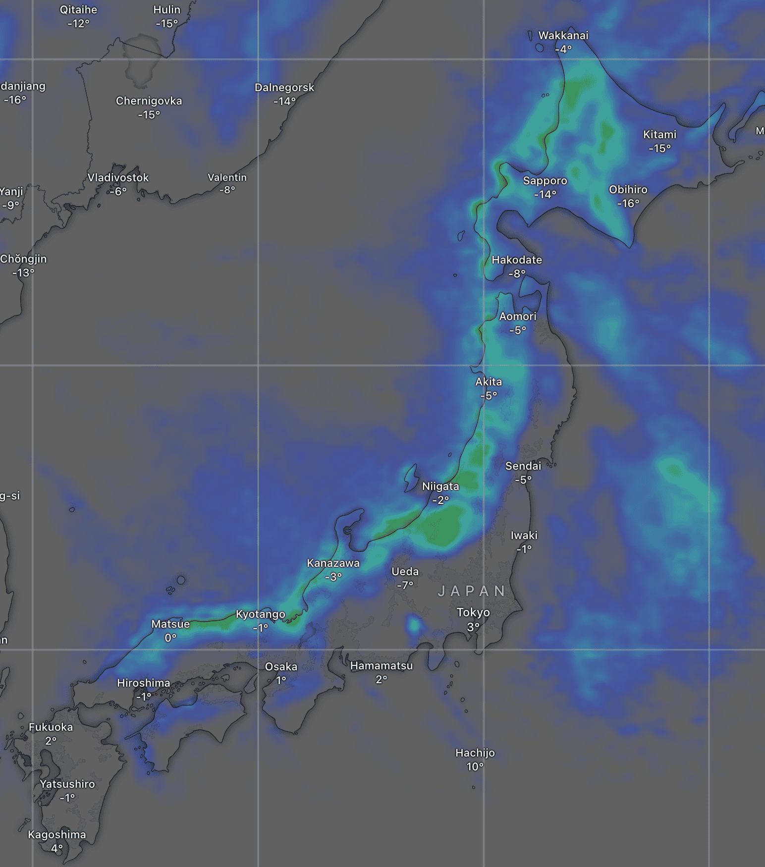
Written Thursday morning, 20th February (Japan Standard Time)
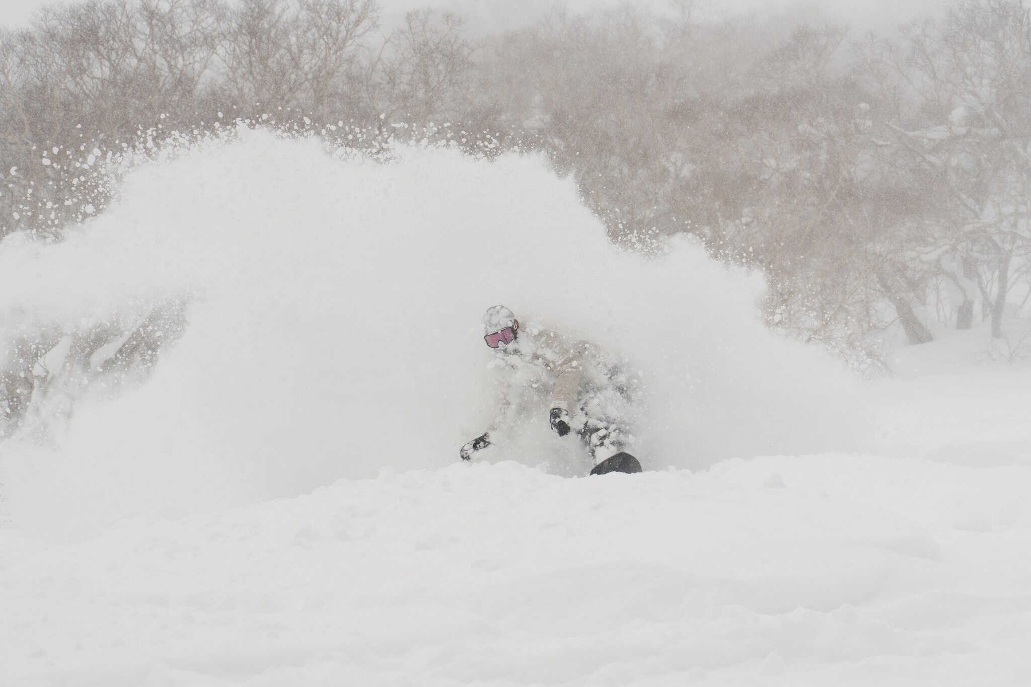
After a settled, sunny and spring-like weekend, the Japow Machine fired up again on Monday and has proceeded to dump deep powder across the country. Resorts on Honshu reported close to half a metre on both Tuesday and Wednesday mornings, and reports this morning will be similar. Hokkaido has also received decent snowfall, with the Niseko resorts reporting around 25-50cm since Monday.
This storm will continue for another five days before finally clearing on Tuesday next week. Resorts on Honshu will be favoured with another whopping 1-2m+ of powder expected. At the same time, Hokkaido will pick up a more modest 10-30cm+ in the west, while much less is expected elsewhere on the island amongst mostly dry, sunny conditions. After a quick settled, sunny spell on Tuesday, the next storm will arrive on Wednesday.
Thursday February 20th & Friday February 21st
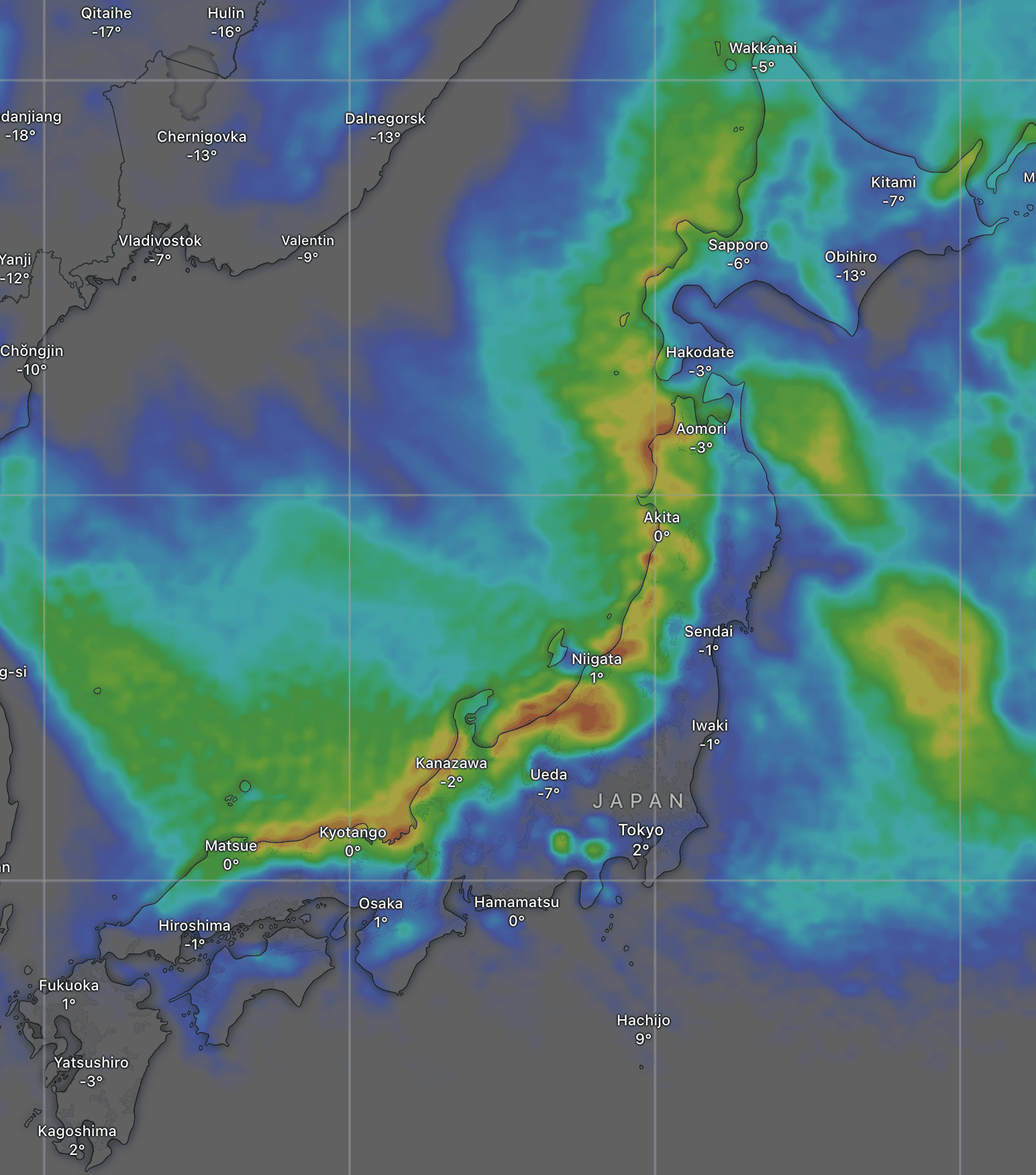
At the time of writing, snow reports haven’t come in yet, but the radars show there’s been significant snowfall on Honshu overnight. The storm will keep chugging through Thursday and Friday with moderate to heavy snowfall at times, along with cold northwest winds, which will be quite strong for Northern Honshu. For this 48hr period, most resorts should score between 20-50cm of fresh owder with well over that in exposed places.
Up on Hokkaido, snowfall cleared overnight due to winds turning northerly and drying out. A line of snowfall to the west (in the Sea of Japan) shows where these northerly winds converge with the snow-filled northwesters. For Thursday, most of Hokkaido will remain clear and sunny, although resorts near the north coast and in the northeast will pick up a little snow as they’re exposed to the northerly winds.
Thursday night and early Friday, the line of convergence will drift over western parts of Hokkaido, turning winds northwest there and sending in light-moderate snow showers. The resorts nearby Sapporo and Niseko will pick up around 5-15cm by the end of the day, while the rest of the Island will be dry and mostly sunny.
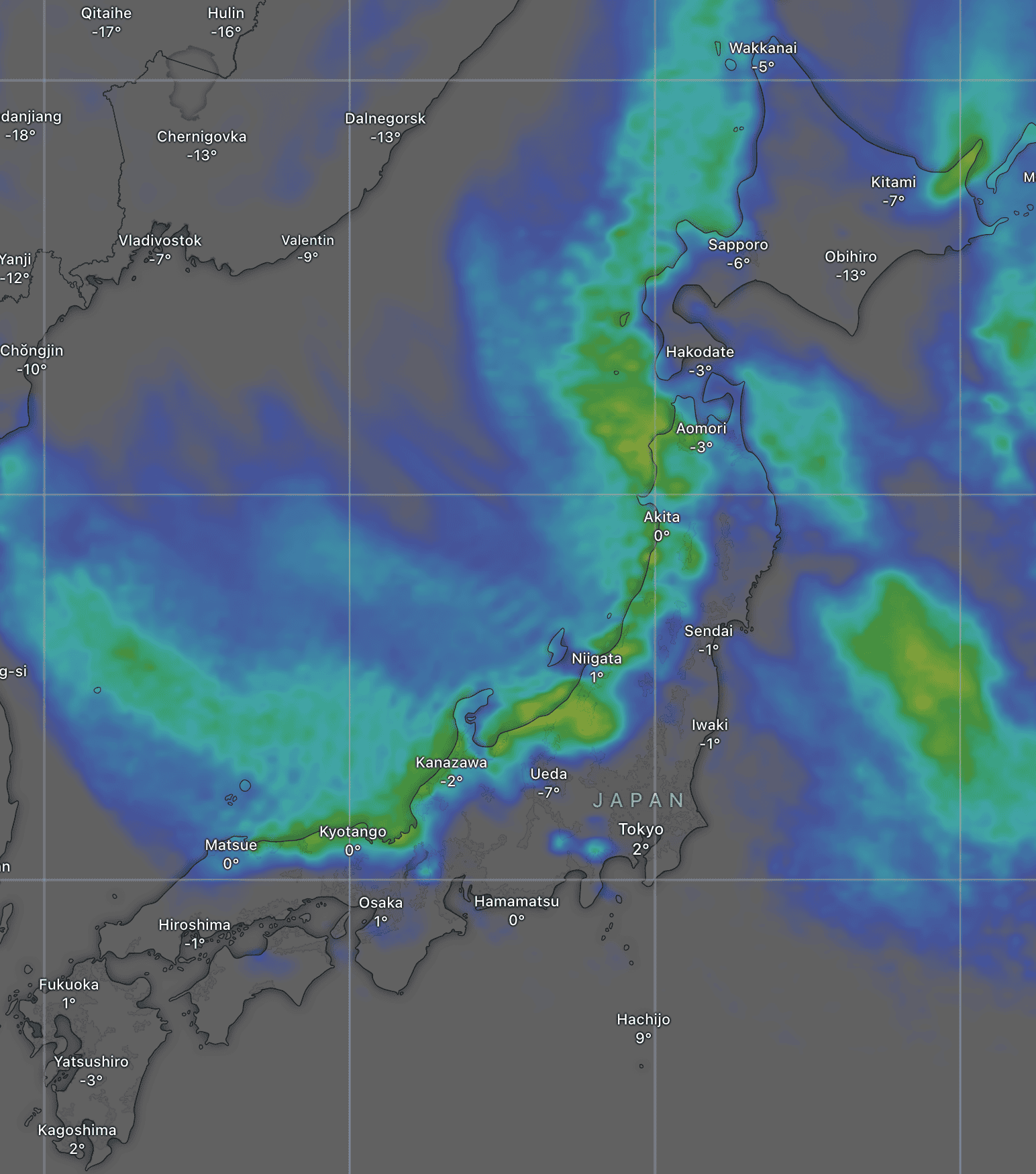
Saturday February 22nd & Sunday February 23rd
Powder will continue to pile up on Honshu this weekend as frigid west-northwesterly winds continue to blow. Another 20-50+ cm is expected at most resorts, although some resorts in Central Honshu will see a bigger portion of that fall on Saturday as northwest winds will turn more westerly on Sunday.
Snowfall will again favour western parts of Hokkaido this weekend as the convergence line lingers near the area. Resorts near Sapporo and Niseko will again receive another 5-15cm, while sunshine predominates elsewhere with only the odd snow flurry here and there each afternoon.
Monday February 24th to Wednesday February 26th
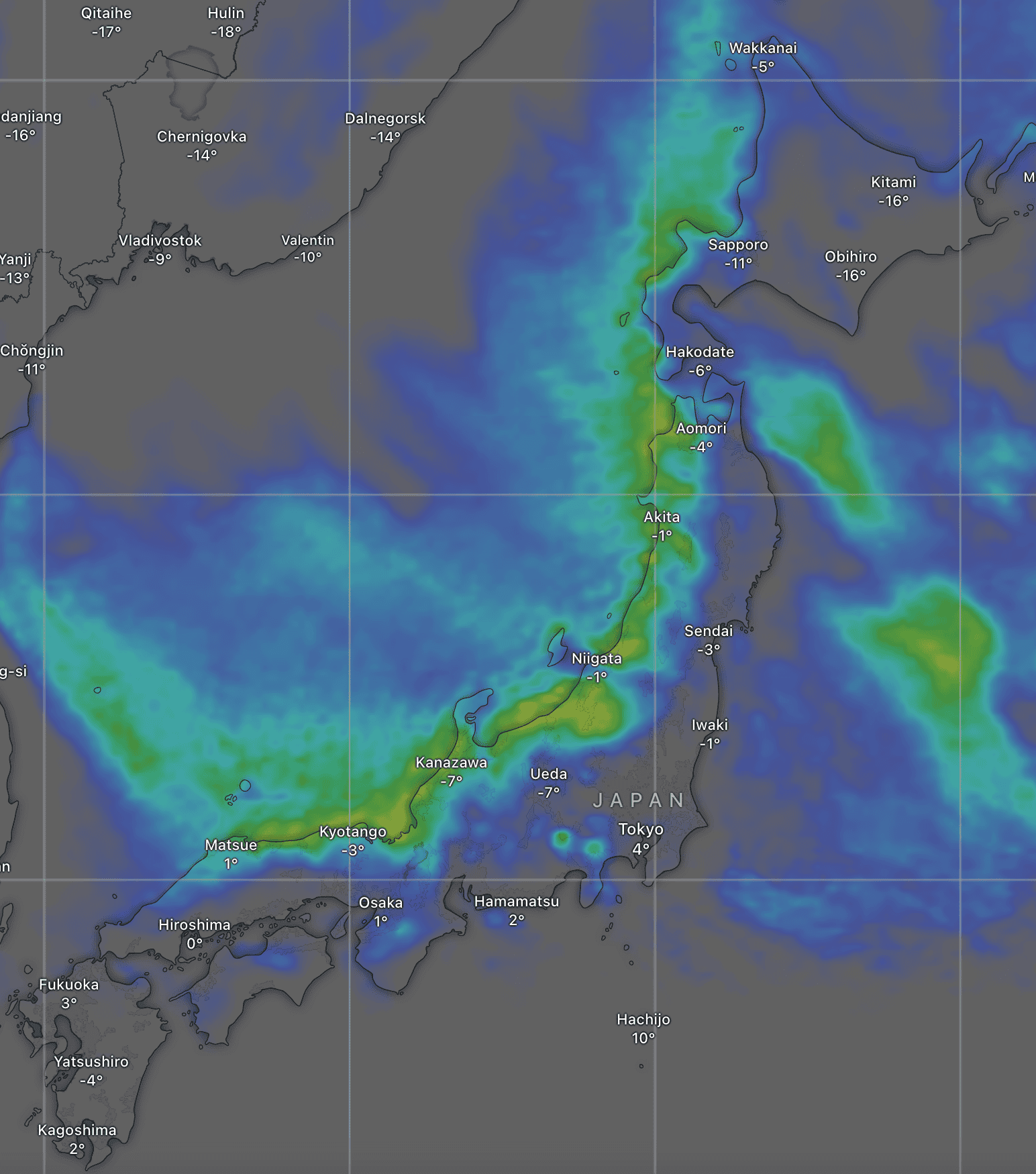
The seemingly never-ending storm on Honshu will continue to pile on the powder during Monday. However, it will finally run out of juice and clear on Tuesday as a ridge of high pressure moves over the country and warmer southwest winds develop.
Snowfall in the west of Hokkaido will dry up sooner on Monday, with mostly sunny skies for Tuesday, although southwest winds will become strong.
Things won’t stay settled for long as the next snowstorm is picked to roll down the country on Wednesday. This storm won’t be as long-lived and is expected to last only 24 hours or less, providing a decent top-up of powder for most resorts.
That’s all from me today, folks. Have a great week, and I’ll see you here next Thursday for another weekly rundown of Japan’s highlights and snowlights.
Grasshopper


