Grasshopper’s Weekly Japan Forecast,Thursday January 23rd – Light Snowfall Next Few Days, Bigger Storm Next Week
Mountainwatch | The Grasshopper
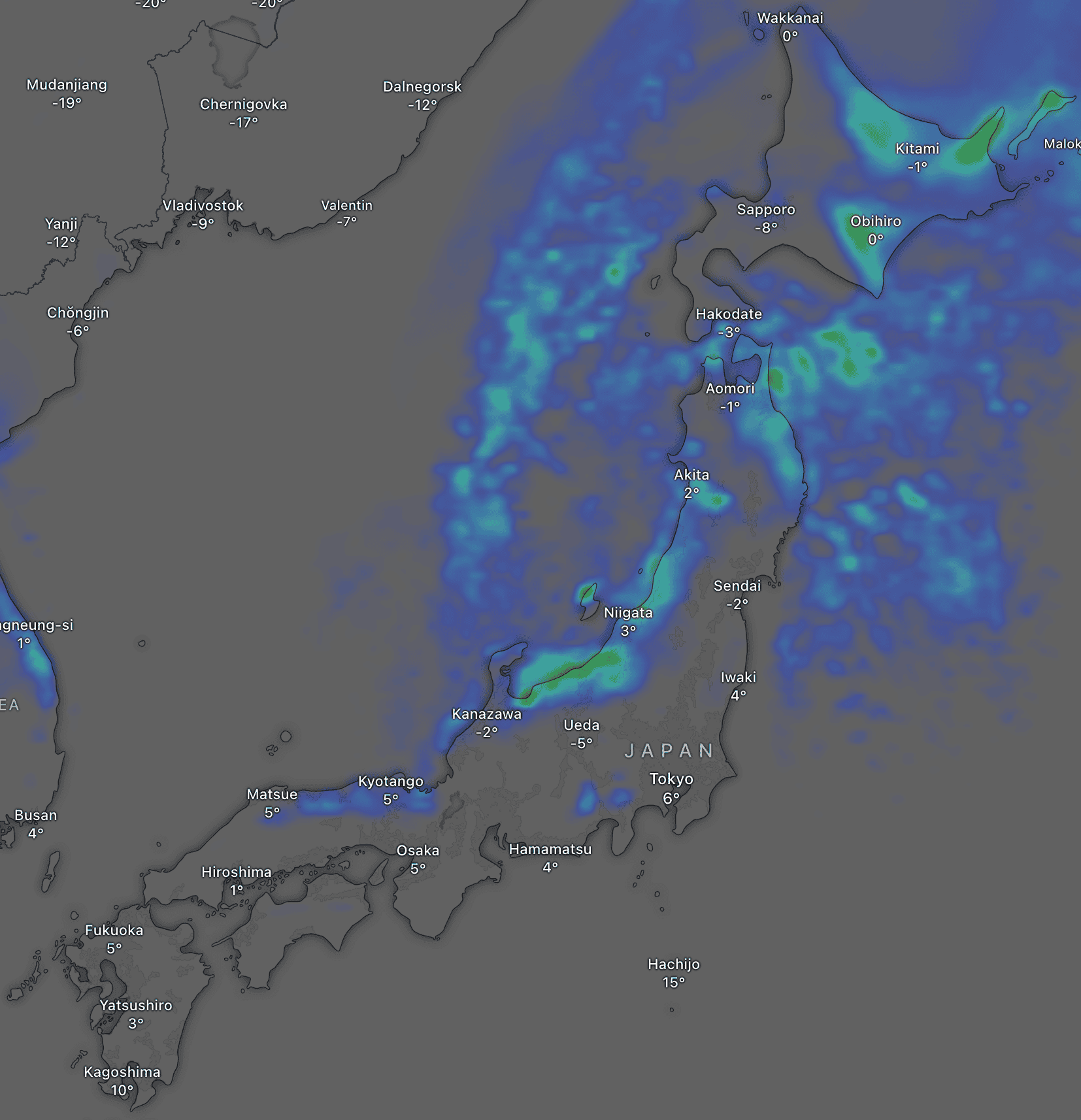
Written Thursday morning, 23rd January (Japan Standard Time)
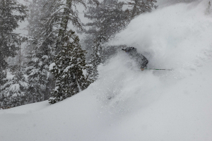
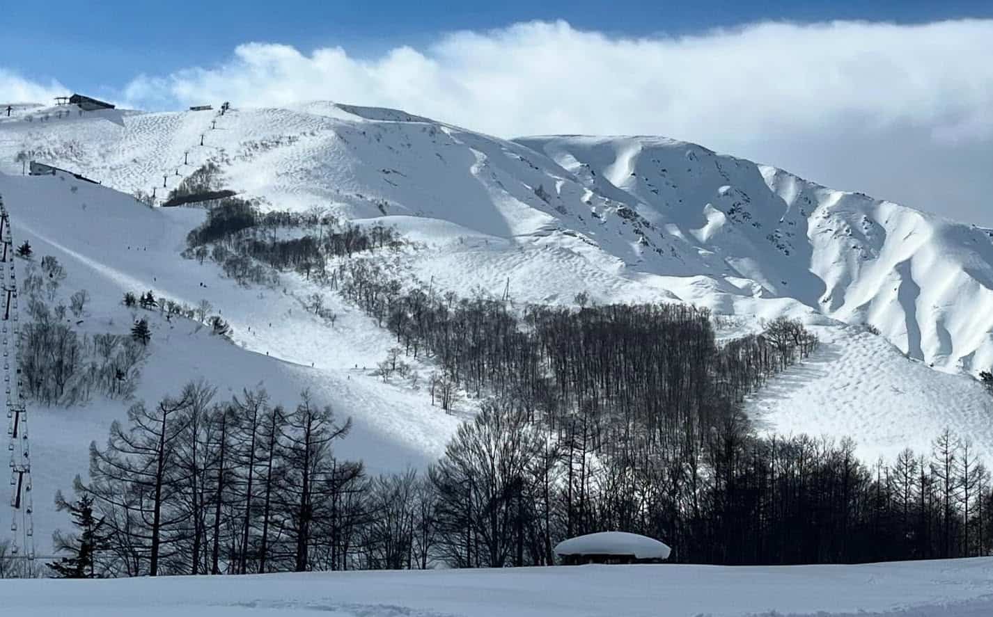
The last several days have been quiet in Japan after snowfall dried up at the weekend. It’s been the most extended dry spell we’ve seen this season thus far. Still, everyone has enjoyed some mid-winter sunshine on top of a deep snowpack.
A reasonably weak storm system will bring mostly light snowfalls to the country over the next few days before drying up again on Sunday. Accumulations will mostly lie within the 5-25cm range but may be larger for Central Honshu and eastern Hokkaido if we’re lucky.
Next week, the first decent storm in a while will hit on Tuesday, with moderate-heavy snow expected to persist through Wednesday before easing later in the week.
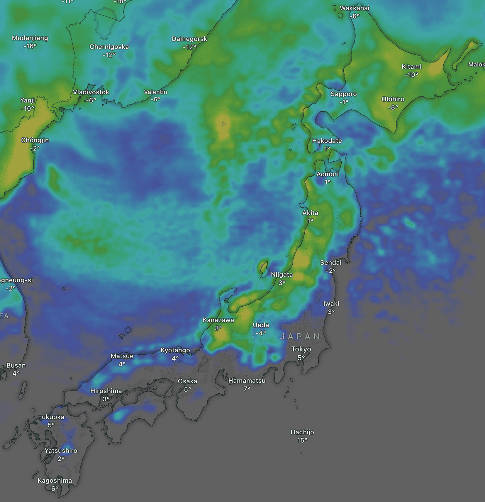
Thursday January 23rd & Friday January 24th
Japanese resorts will pick up a little snow during this period as a relatively weak storm system passes over the country. Accumulations may reach as high as 15cm at some resorts, but the majority will receive 5-10cm or less.
For Honshu, light snow showers will turn up Thursday afternoon but may reach moderate rates briefly at some resorts as a weak front passes over, and it’ll be wet/dense at base levels due to slightly tepid southwest winds. Light snow showers/flurries will linger through Friday as colder W-NW winds arrive, although some resorts may not see any of this (depending on which model you look at!).
Hokkaido resorts will also see a few light snow showers on Thursday, then more widespread snowfall on Friday as a band of precipitation moves northwards over the area. Due to easterly winds, Friday’s snowfall will be heavier over eastern parts (up to 15-20cm possible) and lighter in the west (5cm or less).
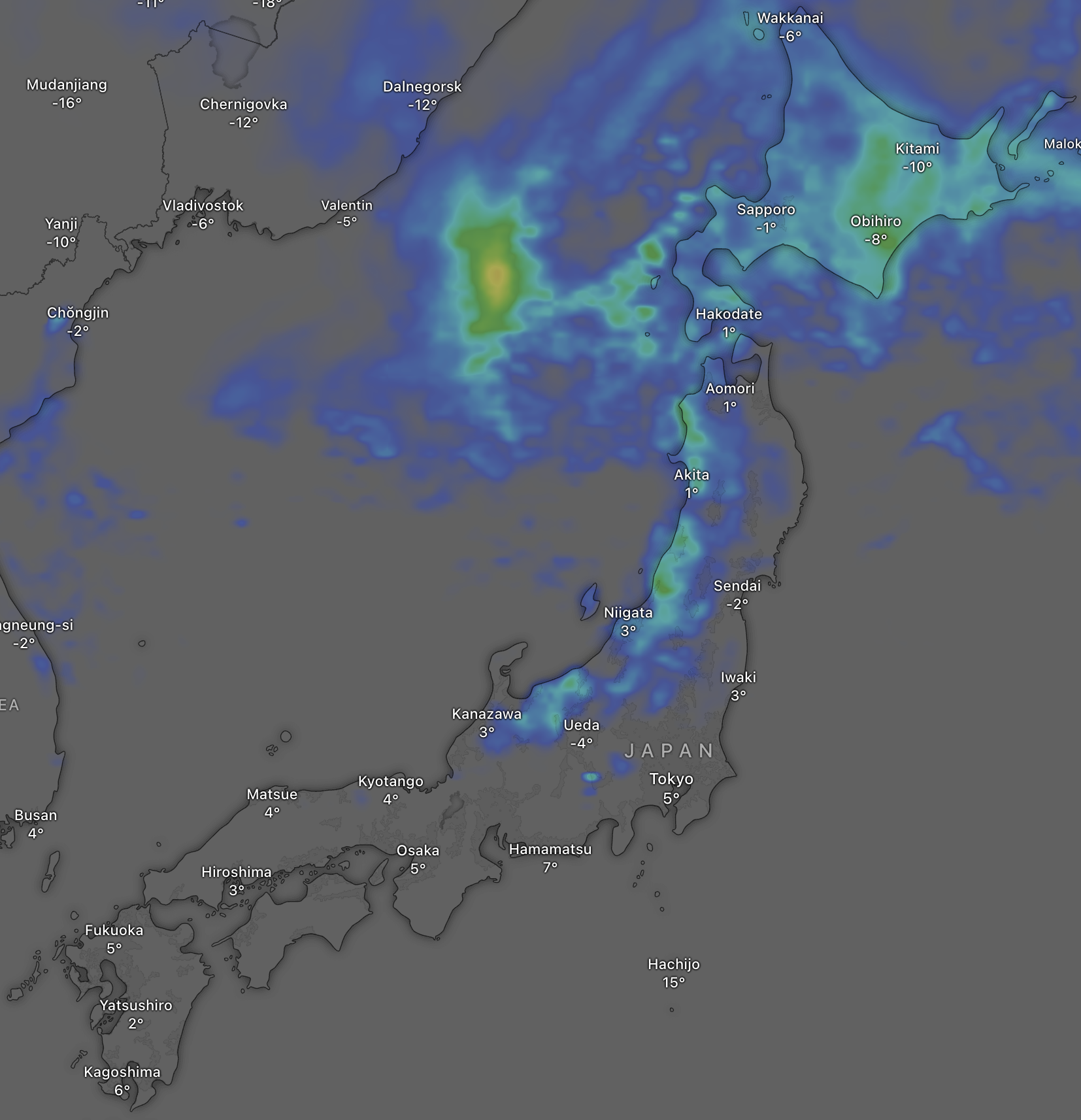
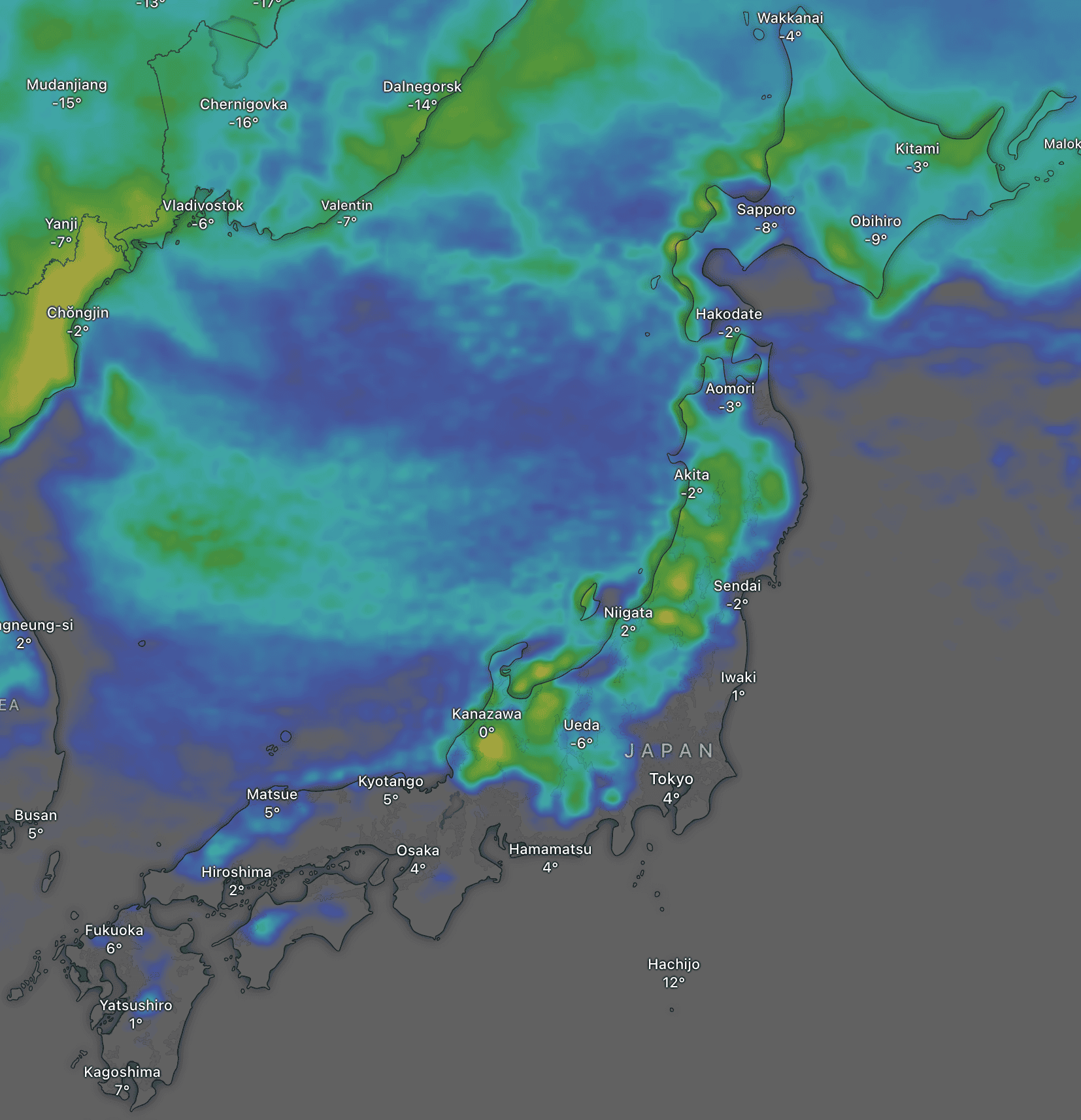
Saturday January 25th & Sunday January 26th
Central Honshu will benefit the most in what will likely be another weekend of low snowfall for the country. Isolated, light snow showers will become more widespread over central Honshu during the second half of Saturday as westerly winds turn northwest, then dry up later on Sunday as winds turn northerly. Again, accumulations are likely to be around 5-10cm or less, but there is a chance the showers could be much more vigorous than most models expect, with 25cm+ possible.
Further north, snowfall will be scarce in western Hokkaido, where mostly sunny conditions will prevail throughout the weekend. Elsewhere on Hokkaido and in northern Honshu, light snow showers on Saturday will dry up for some Sunday sunshine as winds also turn northerly here.
Monday January 27th to Wednesday January 28th
A ridge of high pressure will bring dry, mostly sunny conditions across the country on Monday before the first decent storm in a while hits Tuesday, with moderate-heavy snowfall through Wednesday.
The storm will move northwards up Honshu during the first half of Tuesday, then Hokkaido during the second half of the day. Warm southerly winds will initially bring dense snowfall and elevated snow levels, but a cold, westerly change will see snow quality rapidly improve to proper Japow standards as snow levels drop.
That’s all from me today, folks. Have a great week, and I’ll see you here next Thursday for another weekly rundown of Japan’s highlights and snowlights.
Grasshopper