JAPAN SNOW WRAP – More Cold Dry Siberian Smoke
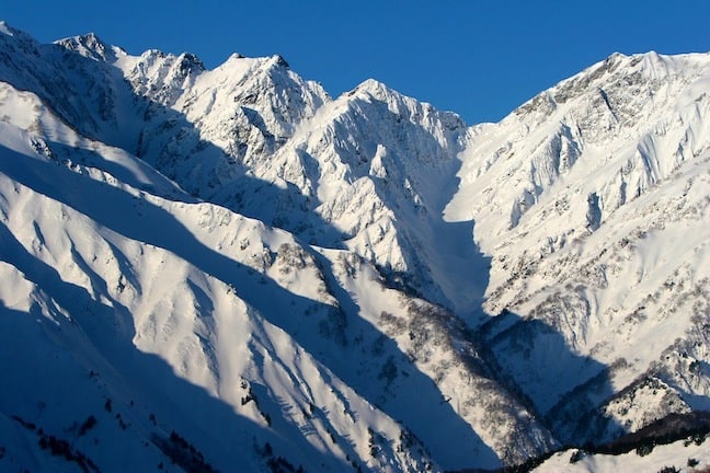
The Japanese Alps are incredible on most days, let alone a bluebird morning in Hakuba Image:: Phoenix Hakuba
Japan Snow Wrap
As the majority of the western ski world yearns for new snow, the tried and tested Japanese island of powder has continued to deliver over the last fortnight, proving that even nearing the end of February, the powder tanks are definitely not empty…
The last two weeks in Japan have been pretty special, unfortunately temps did warm up slightly for a few days around the start of the month and this brought some deteriorating snow conditions and a little rain, even in Hokkaido! Luckily this spell was short lasting and snowfalls returned with the storm that hit around 9/10 February. This storm dropped a considerable amount of pow and was backed up by another storm on Feb 15-17. All this new snow has brought Niseko’s seasonal accumulation to over 15 m, this means that the average annual accumulation has been exceeded and it is only mid-feb. I haven’t seen the seasonal stats for Mt Baker, WA yet but I am guessing that Niseko is topping the table for snow accumulation this winter.
Down in Hakuba things have been ticking along nicely, consistent snow falls have meant there has been a great mix of pow days and sun thrown in. Reports in this morning tell of another 20 cm of fresh overnight, unfortunately temperatures and wind have been quite variable which is playing havoc with the snow pack, avalanche danger is high and unfortunately I have heard reports of at least one fatality in the backcountry, if you plan to venture out of the resorts, read the avalanche report, get skilled up and play safe!
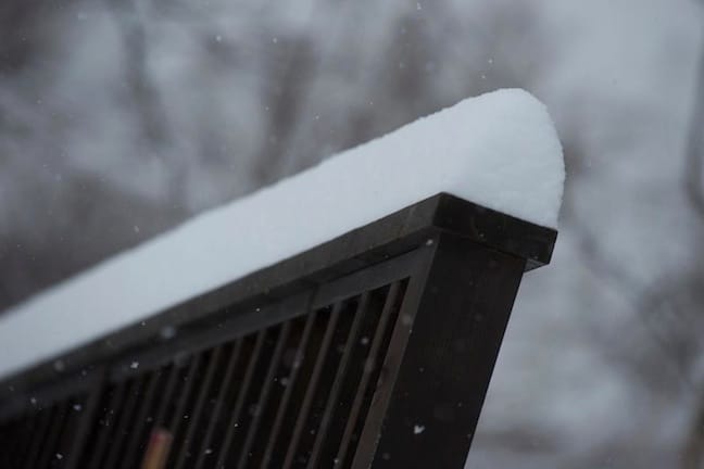
Fresh snow accumulates quickly on Feb 9 in Niseko Image:: SkiJapan.com
In The Forecast:
Hakuba: Light and consistent snowfalls are expected over the next 7 days. Totals are not huge, looking like about 5-10 cm per day at this stage, temperatures are looking very chilly, like -15 as a minimum so this should maintain the snow quality, windspeeds remain low before a peak by Saturday, this will be joined by a rise in temperature that may see some rain fall at lower elevations.
Niseko: Looks like a HUGE week snow wise in Niseko and the majority of Hokkaido. Our model is currently tipping 91 cm over the next 7-days. These falls will be concentrated over the next 36 hours before another pulse arrives on Sunday and Monday. Windspeeds are fairly low from the NW until a S change arrives and will see winds gust to ~ 50 km/h so keep an eye out for lift closure and wind holds. Temperatures look to be remaining cold so the snow should remain dry and blower!
A perfect week snow wise so there will be plenty of pow to get after, fair weather skiers may have to wait until next week to see the sun, but hey, no-one goes to Japan to ride sunny days…
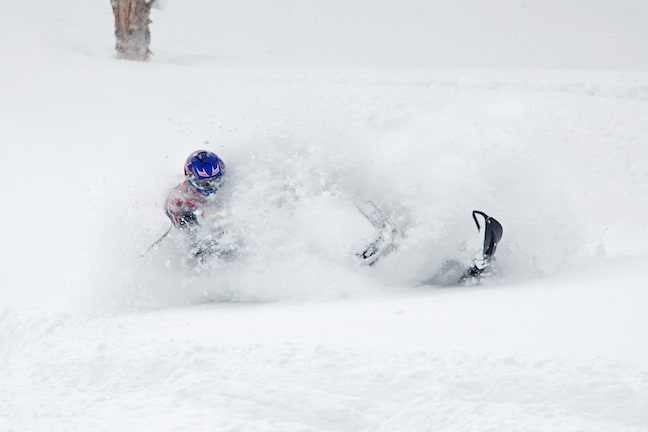
A local Sledneck finds some faceshots in Hakuba Feb 13 Image:: Mike Pitcho/Phoenix Hakuba
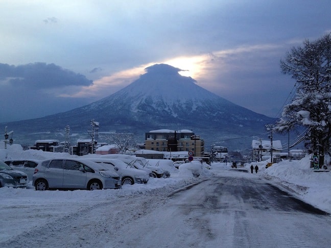
Mt Yotei watches over Niseko at sunrise Image:: 360Niseko
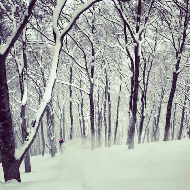
Aussie skier Luke Kneller disappears into some fresh snow at Hakuba Cortina Feb 7 Image:: Phoenix Hakuba
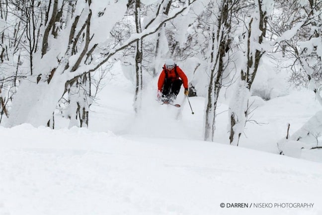
Cat skiing in Niseko is often the easiest way to find the deepest snow in the area Image:: Darren Teasdale/Niseko Photography
Heading to Japan this season? Gear up with some fresh product from Melbourne Snowboard Centre, Melbourne’s biggest online snowboard shop
Hakuba forecasts,
snow reports and
live snow cams.
Niseko forecasts,
snow reports and
live snow cams.


