Mountain Safety Collective Backcountry Conditions Report – Friday 1 August 2025

Mountainwatch | Mountain Saferty Collective
The major weather event of the past week was the huge, continent-spanning low pressure system that moved across south east Australia from last Saturday to Tuesday. This system was pulling moist air from Indonesia, down the east coast and then back onto the mountains, resulting in moist snow above ~1800m and rain on lower slopes. Perisher recorded 109mm of precipitation and Mount Hotham 88mm during this period.
The good news is that what did fall as snow continued to build this season’s impressive alpine snowpack as westerly winds loaded snow onto the leeward (easterly) slopes. While the moist, dense snowpack is largely stable, large cornices have started to develop with the possibility they will collapse, so be extra cautious when travelling on top or below them.
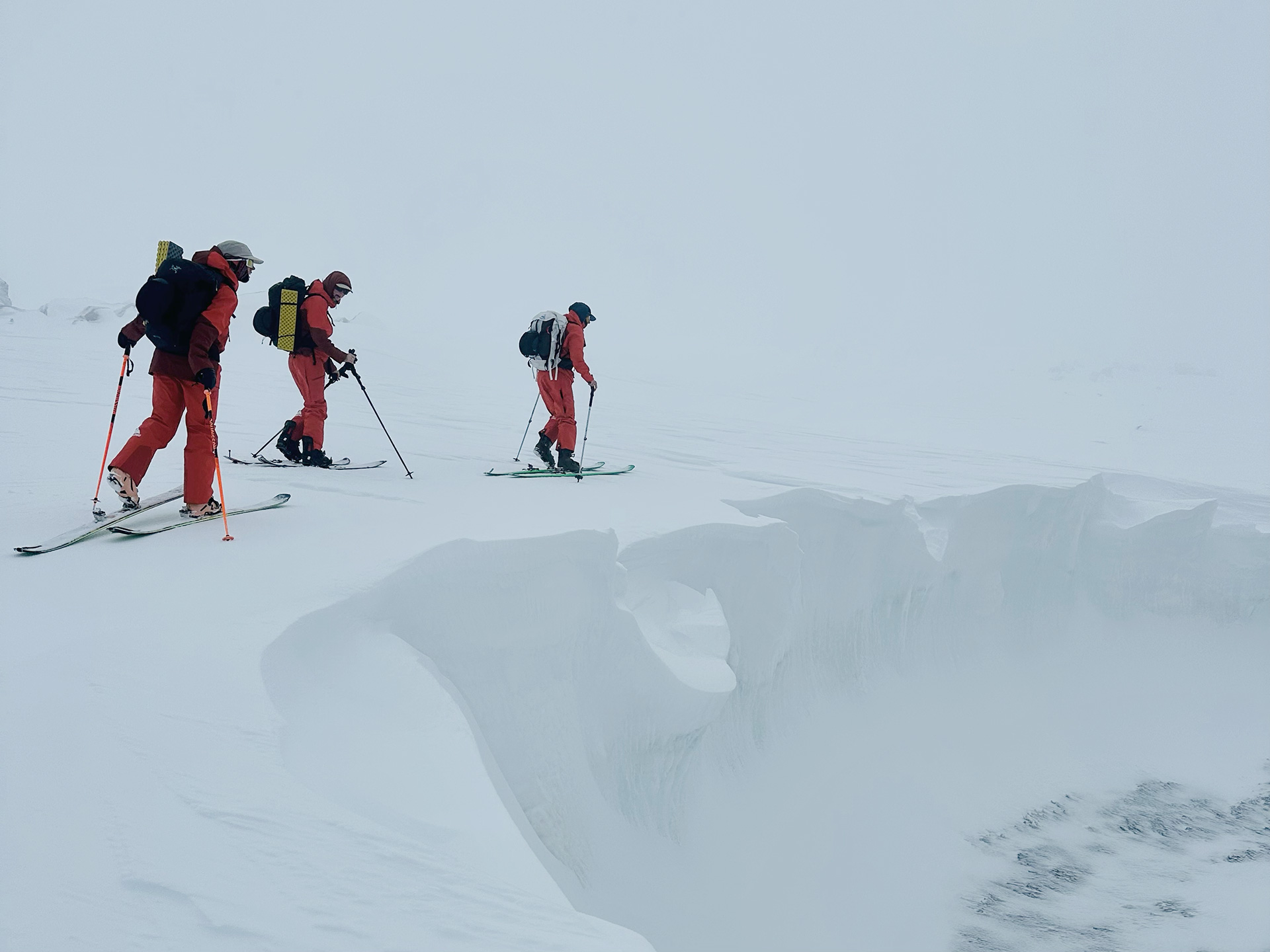
Tuesday and Wednesday saw excellent quality skiing down to around 1700m while the alpine peaks were shrouded in low cloud and fog requiring white out navigation. With winds swinging to the east in the back half of the week, moisture impacted the snow surface and refroze in the colder temps on Thursday night, so be prepared for a crust on most aspects and carry crampons for safe uphill travel.
As we move into the weekend, the weather forecast is largely favourable for backcountry travel with light to moderate easterly winds before returning to stronger north westerly winds on Monday. Cloud is forecast to increase through Friday evening into Saturday with the chance of light snow flurries before clearing into a mostly sunny Sunday and Monday accompanied by milder temperatures.
You can keep up to date with free Backcountry Conditions Reports every day by visiting Mountain Safety Collective and MSC’s Membership Drive will be releasing a load of new prizes up for grabs in August!


