Mountain Safety Collective Backcountry Conditions Report – Friday 18 July 2025
Mountainwatch | Mountain Safety Collective
The weather and snow have yo-yoed over the past week as a series of fronts crossed the mountains bringing every variation of conditions imaginable. Last weekend saw a potential repeat of 2023’s great ice age as a humid mist covered the soft powder and froze into an impenetrable surface crust last Saturday. A light top up of snow last Sunday night then transformed east facing slopes into the day of the season (so far) on Monday morning with non-stop wind buffed powder laps. The rest of the week has then alternated between sunny days and complete white out conditions while the strong westerly winds have remained a constant factor.
As the sun rises on Friday morning, we’re back to blue bird sunshine with a generally clear forecast until Monday. If you’re planning any snow camping missions, factor in that extreme north westerly winds (above 60kph) are forecast to pick back up through Saturday afternoon when choosing a sheltered tent site. Winds will abate through Sunday before picking up again on Monday afternoon ahead of the next cold front and precipitation on Tuesday.

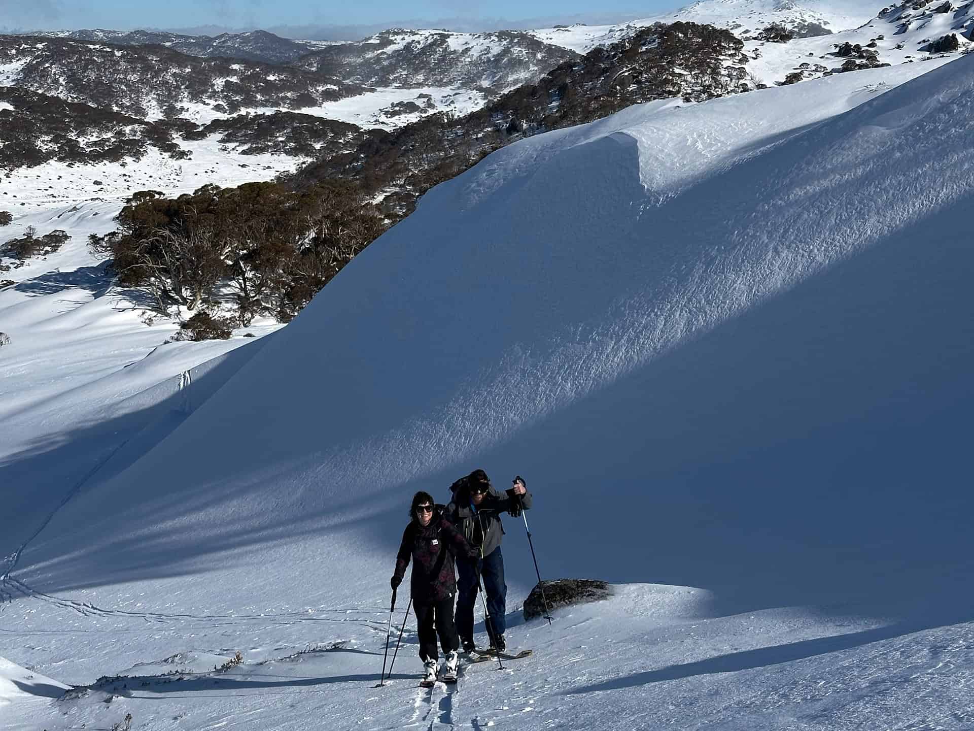
Snow conditions remain highly variable depending on aspect and elevation, with the best wind blown snow generally found on leeward (east facing) slopes below the tree line. There may also be a risk of small wind slab avalanches on wind loaded slopes, so take your time to assess conditions before dropping into any big lines. Windward (west facing) slopes and ridgetops have been largely stripped back to the ice crust, so carry crampons if you’re planning to access those areas and be conscious of the slide for life risk on steep exposed slopes. At lower elevations there’s likely to be some areas of breakable crust to carefully navigate on the descent.
Overall, the snowpack depth is now consistently covering most major hazards above 1600m and any top ups of additional snow will continue to improve backcountry conditions.


