Grasshopper’s Weekly Japan Forecast, December 12th – Another Deep Week Ahead As More Resorts Open

Mountainwatch | The Grasshopper
Written Thursday morning, 12th December (Japan Standard Time)
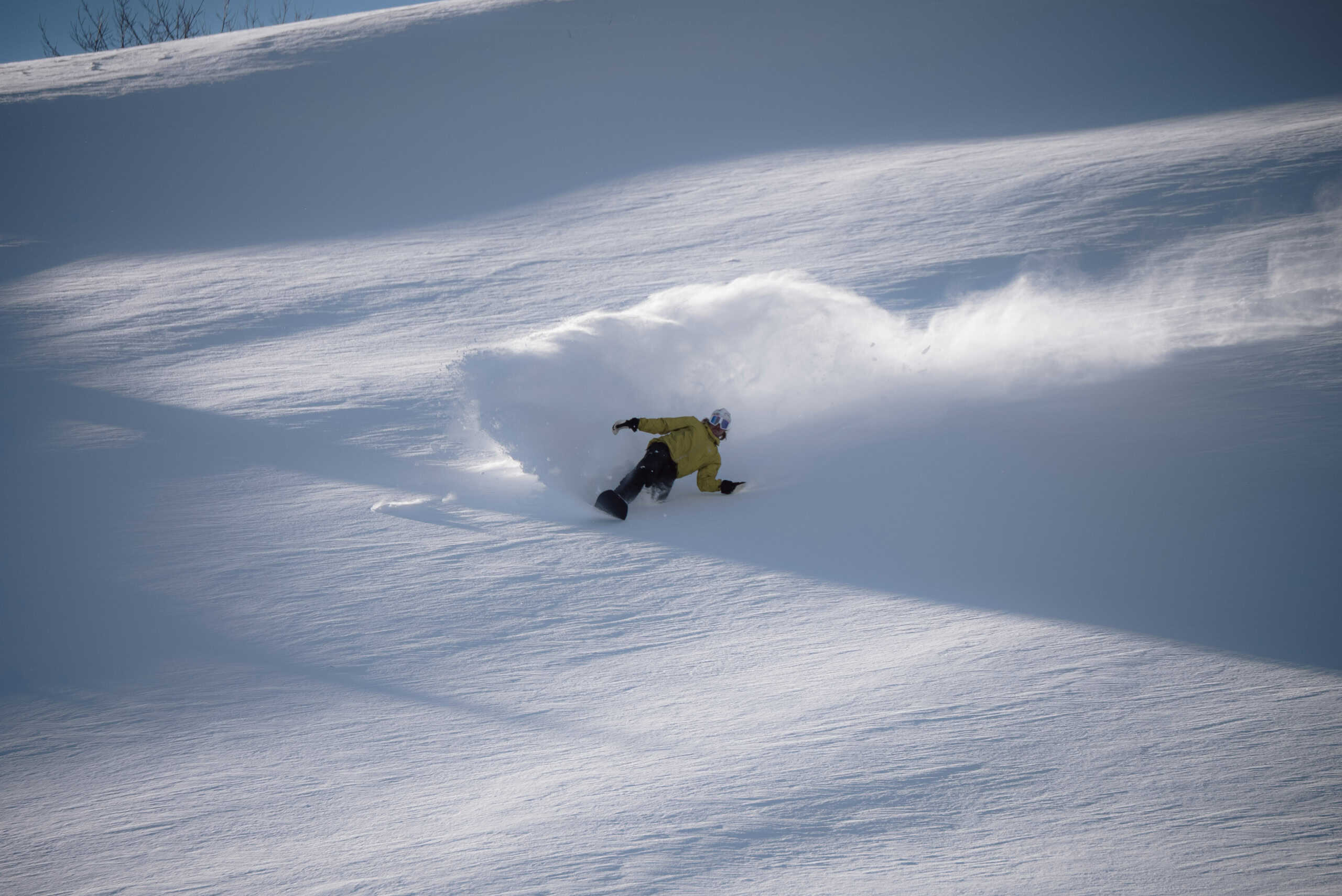
Japan’s first big snowstorm of the season brought heavy snowfall and deep powder to many of its resorts on Friday and over the weekend. It’s a welcome and timely boost as a whole swag of resorts will open this weekend while others will look to expand their terrain.
The Japow machine will continue to chug away this week, with most resorts likely to rack up some big totals. Persistent cold west-to-northwest winds will bring good, consistent snowfall to Hokkaido and Northern Honshu, while Central Honshu will see greater peaks and troughs in snowfall rates as multiple surges of that cold air push south into the region.

Thursday Dec 12th & Friday Dec 13th
Thursday starts with light to moderate snowfalls across Japan, thanks to a cold northwesterly flow over the country.
The snow will gradually clear much of central Honshu from the south from Thursday afternoon through Friday morning as warmer southwest winds spread over the region, providing a window of brighter conditions. Meanwhile, light snowfalls will continue over northern Honshu and Hokkaido.
Snow will return to central Honshu late Friday, albeit with slightly elevated snow levels, as a fresh surge of cold northwesterlies approaches from the Sea of Japan.

Saturday Dec 14th & Sunday Dec 15th
The fresh surge of cold northwesterlies will push over Central Honshu during the wee hours of Saturday with a period of heavy snowfall before it gradually tapers off and clears much of the region again during the day. Cold northwesterlies will persist over Hokkaido with more light snow showers, while northern Honshu will be much brighter with sparser snowfall and areas of blue sky.
On Sunday, another cold front will push down over the country, bringing another period of moderate to heavy snowfall over Hokkaido and northern Honshu during the day before reaching Central Honshu later, with slightly elevated snow levels initially.

Monday Dec 16th to Wednesday Dce 18th
Central Honshu should receive a decent amount of snow during this period, although it will likely become lighter and sparser for a time during Monday into early Tuesday.
Light snowfall over Hokkaido and Northern Honshu will also become sparser on Tuesday as cold westerly winds back off, with more settled conditions and even some blue sky likely for Wednesday.

That’s all from me today, folks. Have a great week, and I’ll see you here next Thursday for another weekly rundown of Japan’s highlights and snowlights.
Grasshopper


