Mountain Safety Collective Backcountry Conditions Report – Friday 7 July
Mountainwatch | Mountain Safety Collective
This week started with extensive crust and ice in the alpine followed by rain on Tuesday and Wednesday as temperatures warmed up. The total volume of rain was about 25mm in Perisher, damaging the thinner snowpack at lower elevations and creating extensive rain runnels in the alpine.
While not a catastrophic event, it has created a 15cm thick knife-hard rain crust as temperatures dropped again on Thursday.
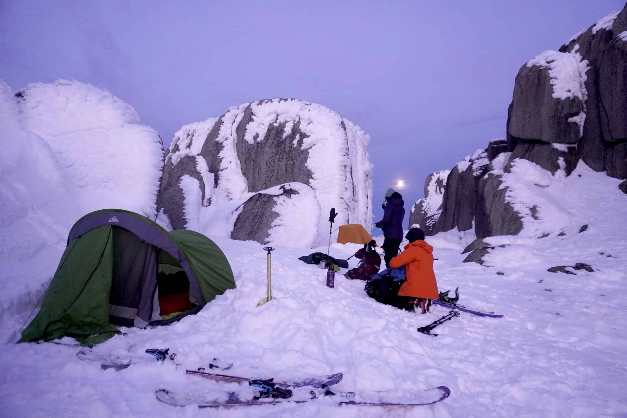
All eyes are now on the next front that moved through the mountains on Thursday night, delivering 5cm+ of new snow by Friday’s sunrise. This storm will intensify significantly through Saturday, with heavy snowfalls forecast above 1300m and 30cm-60cm of new snow expected to accumulate by late Sunday. This will be accompanied by very strong winds and whiteout conditions so another weekend to avoid a snow camping mission.
There will be small wind slab development in the alpine from NW winds on Friday and it is expected that these will NOT be bonding to the rain crust. As snow and wind intensifies on Saturday, the hazard will increase with larger wind slab and cornice development expected on easterly slopes.
Expect the surface to still be icy under Friday’s new snow and there will be localised areas of ice, so carry ski/boot crampons and an ice axe for safe travel on steep icy slopes. Visibility is forecast to be poor throughout the weekend with a high likelihood of whiteout conditions in the alpine, so be prepared for whiteout navigation if you are heading out. Take refuge in the lower treeline out of the wind if you are desperate for some turns.
As always, pay close attention to any weather warnings and always fill out your trip intention forms for NSWor VIC. If you’re keen for some transceiver training, Mountain Safety Collective have set up Avalanche Training Centres at Hothamand a new one at Thredbo.
For more information on staying safe in the backcountry, visit Mountain Safety Collective.


