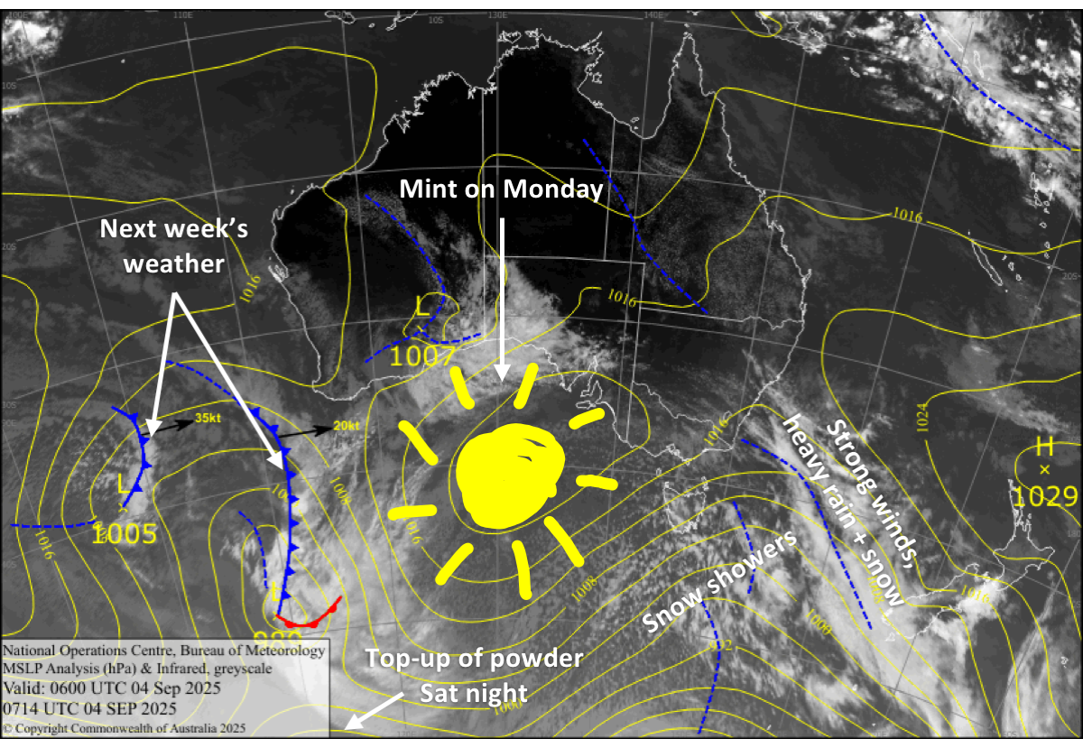
New Zealand Forecast, Friday September 5th – Wild & Windy for Friday, Nicer, Colder & A Top-Up this Weekend
Mountainwatch | The Grasshopper
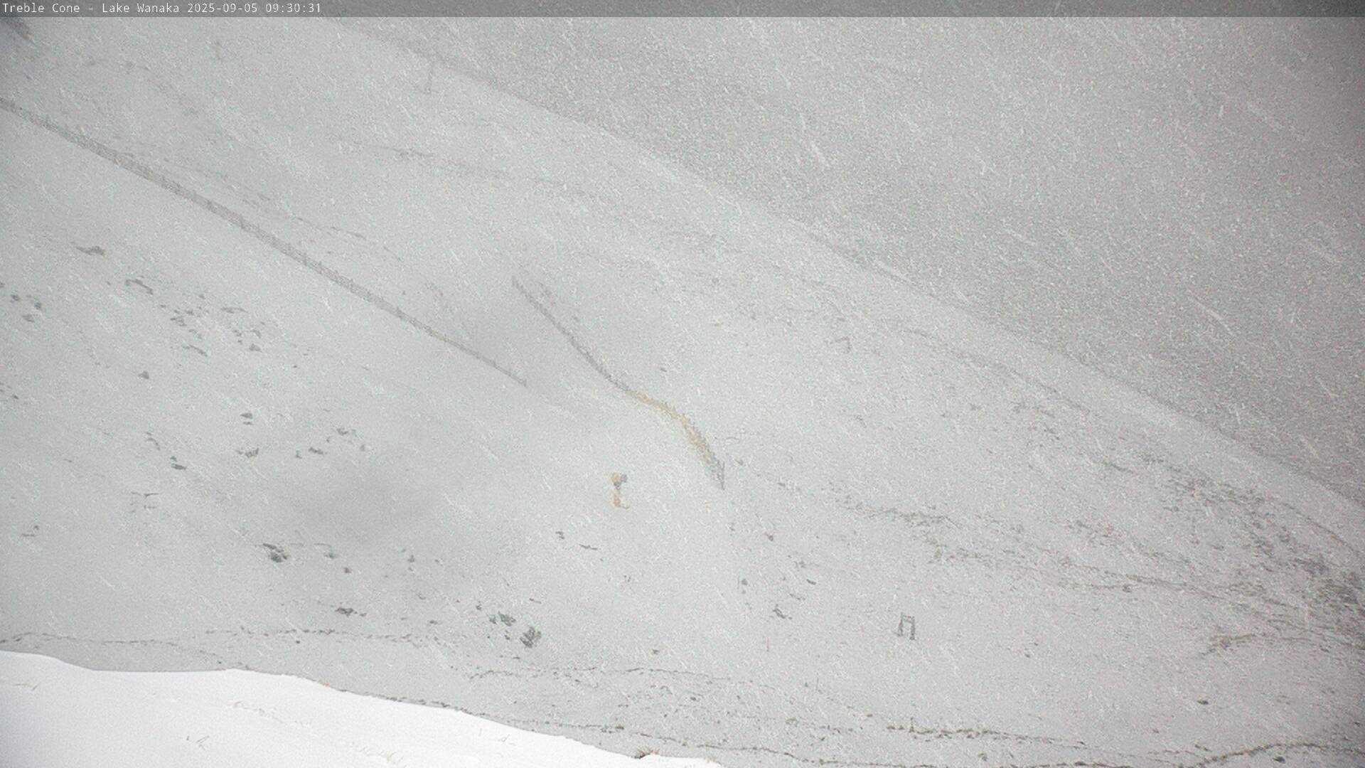
Northwest winds were screaming on Thursday, limiting operations and closing some Canterbury ski fields – Mt Hutt included. Still, most ski fields saw snow showers that were carried on the wind from the Main Divide. Numbers haven’t come in yet, but we were expecting a few centimetres.
It’ll be a similar story for your Friday, except winds will be even stronger and the precipitation heavier as a strong frontal system moves up the country. Operations will be limited and closures are expected again, so it’ll be a good day for extracurricular activities. However, ski fields will score between 5 and 30+ cms.
The weekend will be nicer and colder, and a punchy wee cold front will give the Southern Lakes a top-up of 5-15cm of high-quality powder and Canterbury a dusting Saturday night. Monday will be even nicer as a ridge of high pressure brings a brief calm spell before the next storm hits.
Friday 5th September
A rough day for the South Island as a strong frontal system passes over from the west, bringing heavy snow and low- to mid-level rain, and severe gale northwesterlies in exposed areas. Ski field closures or limited operations are likely, especially in Canterbury.
However, conditions abate and snow levels drop to low levels behind the front as cooler westerly winds arrive. For the Southern Lakes, this will happen gradually throughout the day, with the worst conditions early morning, and in Canterbury, it’ll happen during the latter half of the day. Snow showers clear at night, leaving a spread of 5-30+ cms of snow, with the highest totals up high and closer to the Main Divide.
Saturday 6th September
Any remaining snow showers clear morning to fine as cold southwest winds start to turn northwest, although there is a chance they linger about Mt Hutt into the afternoon. Later in the afternoon, cloud starts to build over the Southern Lakes and the northwest winds strengthen.
Then another cold, west-to-southwest change moving up the South Island evening and night gives the Southern Lakes a top-up of 5-15cm, and a dusting of 1-2cm to Canterbury ski fields.
Sunday 7th September
Remaining snow showers clear in the morning for a partly cloudy day as strong, cold southwesterlies gradually ease.
Monday 8th September
A ridge of high pressure drifting over the country brings nice, sunny skies while northwest winds pick up.
Extended Forecast
Stormy conditions return to the country on Tuesday, the 9th, and will likely last through to the end of the week. Models diverge significantly on the details, but they agree we’ll see fresh snow amongst it all. However, we can expect the usual period of strong northwesterlies and heavy rain before colder air masses turn up. I’ll firm up details closer to the time, so keep a close eye on it, as there could be short windows of powder and calmer conditions.
That’s all from me today, folks. I’m sending out these forecasts every Monday, Wednesday and Friday throughout the season. Have a great weekend, and I’ll see you back here on Monday.
Grasshopper


