New Zealand Weekend Forecast, June 21st – Mostly a Mix of Cloud and Sunshine, but 5-20cm for Canterbury on Sunday
Mountainwatch | The Grasshopper
Published early Friday 21st June 2024
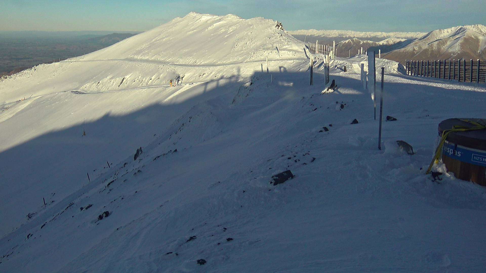
The ski fields managed to keep their necks above the low cloud covering much of the South Island yesterday, and it’s been a great run for the snowmaking teams, the cold temps allowing the NZ snowpack to slowly swell up and outwards. Mt Hutt also received 4cm of freshies on Wednesday.
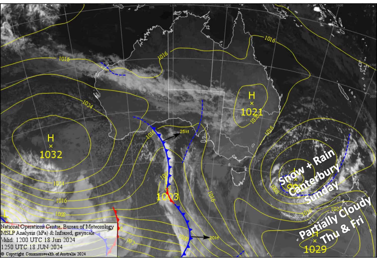
The low swirling around in the Tasman Sea since way back will continue to do so over the next several days. A northerly flow on Friday and Saturday will see clouds and a few light snow showers spill over the Main Divide from time to time possibly reaching some resorts. Then on Sunday, the low will send an E-NE rain band over the country, dumping somewhere between 5-20cm onto Canterbury resorts.
Friday June 21st
A partly cloudy day for the Southern Lakes with brisk northerly winds about the tops. Light snow showers may turn up on Treble Cone in the afternoon with one or two possibly making it far enough east to the other resorts.
A fine day for Canterbury with just a little high cloud from afternoon and a N-NW breeze developing.
Saturday June 22nd
A bit of cloud will blow in over South Island resorts from a NW wind, especially on Treble Cone where there could also be a few showers of rain + high-level snow. Mt Hutt will just have some high cloud overhead but the NW winds will be a bit stiffer here.
Sunday June 23rd
A partially cloudy day for the Southern Lakes with easterly winds developing. Slight chance of a few light snow showers from the afternoon, most likely at Treble Cone.
Rain and drizzle spread over Canterbury in the early hours as E-NE winds develop, falling as snow up high at first, then gradually lowering to, or near, base levels during the day. Visibility will be limited, and between 5-20cm could accumulate.
Monday June 24th June
Any remaining precip reaching Canterbury resorts will clear, and then clouds will gradually break up. NE winds ease. NE breezes over the Southern Lakes will push in a lot of low-level clouds, which may appear as fog up on some resorts.
Extended Forecast
On Tuesday 25th June, the never-ending Tasman Low will finally cross onto the eastern side of the country. At this stage, it’s expected to cross the North Island while intensifying. This could bring some gnarly weather to Mt Ruapehu and a little less gnarly weather to Canterbury resorts for a day or two, over which time rain and/or snowfall accumulations could really rack up. It’s still early days and forecasts have been jumping around like mad, so we’ll have to sit and wait and wish.
That’s all from me today folks. The next forecast is Monday, see you then.
Grasshopper


