NZ Weekly Weather Blog – Let it snow!
NZ Weather | Matt White
Kia Ora everyone!
Well its been a sun filled week here in NZ, great for the school holidays however I think we can all agree that some fresh snowfall would make everyone a lot happier! Things are a little bare at the moment, trails are limited and the school holiday crowds aren’t helping those few runs that are open… that being said, its still good to be up in the mountains, in the snow and getting the legs moving again… after all it is only the start of the season… AND there looks like snow on the horizon!!
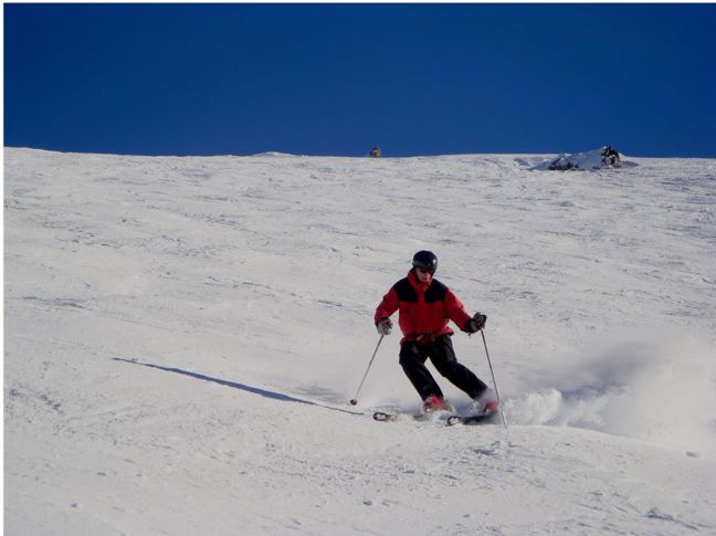
The skiing-s still good at Broken River! Image: Broken River
Here’s how the weather is shaping up for this week:
The news is that there is snow in the weeks forecast, everyones getting some, some more than others.. lets take a closer look.
North Island
Turoa, Whakapapa, Tukino, Manganui: Sunny with light NW winds slowly increasing to strong by Saturday evening/Sunday morning. Snow showers expected over Saturday/Sunday.
South Island
North Cantebury
Rainbow: A mixture of snow/rain for this weekend, snow to 2000m and lowering to 1000m by monday with strong NW-W winds.. might be one to stay indoors for!
Hamner Springs, Mt Lyford: Snow to 1500m with moderate to strong NW winds and looking as though the freezing level will rise along with the winds… keep your rain jackets at the ready its gonna be a wet one this weekend!
Cantebury
Temple Basin, Broken River, Cheeseman, Porters, Cragieburn, Mt Hutt, Mt Olympus: Looking as though it will be windy with precipitation varying from rain through to snow. Freezing levels rising with the strength of the winds, calming by tuesday. Lets hope the freezing level drops a bit more and lets the mountains have it!
South Cantebury
Fox Peak, Mt Dobson, Roundhill, Ohau: Snow to 1500m but rising along with the NW winds which may blow as hard as gale force, things are looking to settle down again by tuesday… dress for rough conditions!!
Southern Lakes
Treble Cone, Cardrona, Snowfarm, Snowpark, Coronet Peak, Remarkables, Queenstown snowcats: Snow to 1500m for at least the next couple of days.. but it is accompanied by strong NW winds so dont be surprised if most of that snow is lost.. Gale force NW-SW winds forecast for monday and clearing for Tuesday.
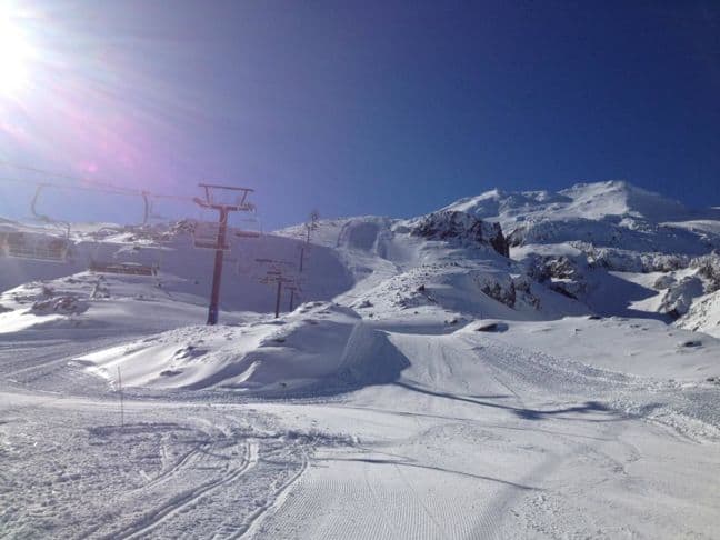
New Terrain opened up @Ruapehu Image: Ruapehu
Heres how the resorts are looking snow-wise (cm)
Whakapapa 63
Turoa 110
Tukino Opening 21 July
Manganui 42
Rainbow 50
Hamner Springs 77
Mt Lyford 90
Mt Hutt 97
Porters 55
Mt Cheeseman 70
Mt Olympus 85
Cragieburn 75
Temple Basin 108
Broken River 65
Fox Peak On Hold
Mt Dobson 20
Roundhill 40
Ohau 85
Treble Cone 45
Cardrona 55
Snow Park 37
Snow Farm 20
Coronet Peak 65
Remarkables 60
Queenstown Snowcats On Hold
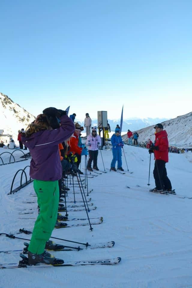
Early season is a great time for a lesson! Image: Remarkables
Local Knowledge
Every year for as far as I can remember it has always been a lean season for the entirety of the school holidays.. then almost as soon as everyone returns home and back to school/work we get a good dump of snow… if that legacy is to continue then we can all rest assured it will come soon.. maybe this weekend.. who knows.. only mother nature can answer that question!
Theres a couple of events coming up this week catered for the younger rippers on the slopes.. The Mini X games at Whakapapa (10-12 July) and the Junior Slopestyle comp at Snowpark (14-15 July), bound to be some good action up there.. kids are the future of the sport so get up there and support them!
Well thats all from me for another week, hopefully i will have tales of huge snowfalls to tell next week.. fingers crossed! Pray for snow.
The Remarkables forecasts,
snow reports and
live snow cams.
Treble Cone forecasts,
snow reports and
live snow cams.
Snow Park forecasts,
snow reports and
live snow cams.
Cardrona forecasts,
snow reports and
live snow cams.
Turoa forecasts,
snow reports and
live snow cams.
Mount Hutt forecasts,
snow reports and
live snow cams.


