SNOW ALERT AUS – 15 to 60cm – The One We’ve Been Waiting For!
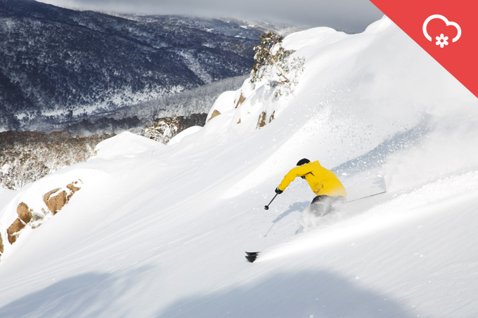
Coming soon, a little bit of this. Image:: Thredbo
Mountainwatch | Snow Alert
SNOW ALERT
Snow Likelihood rating: Strong Confidence
Australian Skiers and Boarders have remained resilient in the face of a seasonal start which can only be described as lacklustre and weak. With the driest June on record run and done, our luck is about to change in a matter of days. Over the next few days, we’re staring down the barrel at 25 to 60cm of snow from now through to Thursday, with the Wednesday being the big player – delivering 15-30cm down to 1400/1500 metres. This is all thanks to the low spinning down in the Bight today, which will be tracking up and over our Mountains before being nudged Thursday from a weak westerly high, before a weak low this weekend tacks on a few cm’s of fresh to the tally. But the strike rate is much lower than the approaching days.
Resorts won’t be backing down on their snowmaking efforts either and we can expect a noticeable difference in our skiing/boarding experience this coming weekend from the one just past.
Need a fresh pair of Faction Skis to make the most of this new snow? click here and remeber to stay updated with The Grasshopper’s independent and most trusted reports in all the land.


