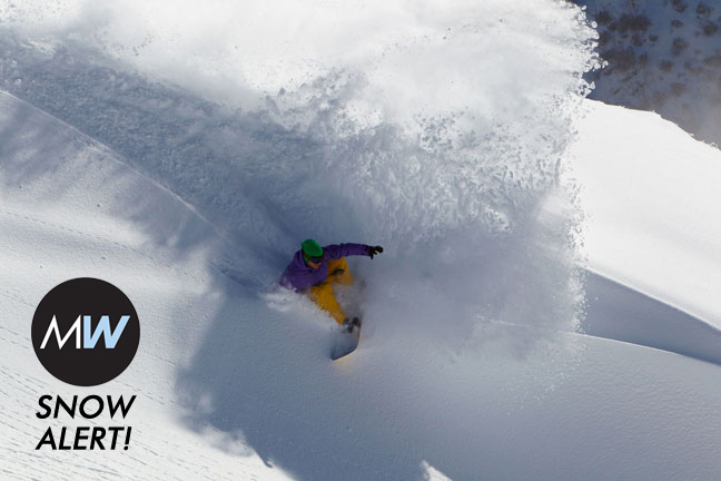
SNOW ALERT – Solid but not Spectacular
SNOW ALERT
Snow Likelihood rating: A solid but not spectacular end to the week…
Another day, another update. Rain, snow, sunshine – it’s all in the mix. The cold temperatures are the best news at the moment. For the rest, read The Grasshopper’s latest…
Eleven days ago we picked up a signal that the end of this week was one to watch for potential snowfall. It was a long shot, but with nothing else to do but talk about the fine weather and watch the snow pack slowly disappear we’ve being following it closely.
This morning has already seen copious amounts of the dreaded rain we knew we’d have to put up with first. So now we hang our hopes on the cold air coming through this afternoon and evening. It looks like the colder, dryer air should reach Mount Buller by 3pm, and NSW resorts by about 7pm. When it comes through I still can’t see more than 5cm of fresh in it, but if we get more I’m happy to be proved wrong.
Behind this cold front a small cheeky ridge of high pressure develops over the resorts, and so Wednesday will be a battle between this ridge encouraging sinking motion, and instability introduced by the cold dense air aloft (which encourages warmer, lighter air below to bubble up through it). It looks to me like we’ll have a partly cloudy day, with the potential for snow showers in the afternoon when instability peaks due to heating at ground level.
Thursday looks very similar to Wednesday, with partly cloudy conditions under a weak ridge of high pressure, but there’s less potential for afternoon snow showers.
And Friday, well that’s the one we’ve been waiting for. Another cold front is forecast to move through during the day, bringing an even colder surge of air. This should see vigorous snow showers, and it’s possible this cold air will destabilise the atmosphere enough to trigger small thunderstorms. Our model is still only talking 5 to 10cm of snow, but there’s potential for more if one of these snow showers hits the bullseye.
A word of warning though – it seems the Bureau are keen on maintaining a low pressure system that goes ashore near Adelaide on Wednesday, bringing it across NSW and close to the resorts on Thursday where it could generate rain/snow. So I think the Bureau’s snow forecast on Friday is related to a southerly as this low moves out into the Tasman Sea, whereas the Mountainwatch model brings in a more full-blooded cold front and develops the low again later. That divergence in the models means I still don’t think Friday’s forecast is set in stone, but it should be clearer by tomorrow.
It’s looking like we’ll enjoy strong south-westerlies and snow showers on Saturday, and then another cold front late Sunday into Monday. I like those apples. By Monday lunchtime we should be able to tally up the profit and loss from this system.
Perisher forecasts,
snow reports and
live snow cams.
Falls Creek forecasts,
snow reports and
live snow cams.
Mount Buller forecasts,
snow reports and
live snow cams.
Charlotte Pass forecasts,
snow reports and
live snow cams.
Hotham forecasts,
snow reports and
live snow cams.
Thredbo forecasts,
snow reports and
live snow cams.


