SNOW ALERT – Whistler Will Open With A Bang
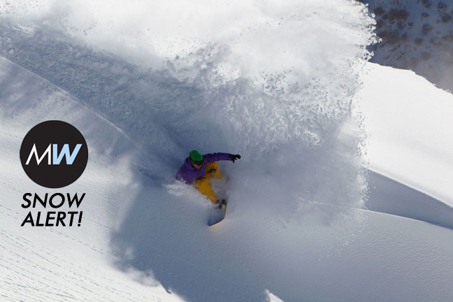
SNOW ALERT – update 22 November
Snow likelihood rating: Bet your holiday on it.
Whistler is currently topping the list of Mountainwatch.com’s 7-day snow list, boasting forecasts of more than 1.5 metres in the next week. A big chunk of that is due on Monday and Tuesday as a large complex area of surface low pressure, anchored by a cut-off upper low circulation in the Gulf of Alaska, delivers copious amounts of cold air and moisture to BC. A lot of that moisture will feed all the way through to the Canadian Rockies, with more than half a metre due there over seven days as well.
Basically, the low pressure just keeps on churning away. Another rain band will give the Pacific Ranges a tickle on Thursday, and there’s more to come in the weekend, when a big front is tipped to come ashore Saturday, easily dropping half a metre for Whistler over the weekend. I’m guessing a significant amount will make it through to the Rockies by Sunday too.
Whistler forecasts,
snow reports and
live snow cams.


