Storm Journal, June 6th-10th. Season Starter Drops 35-70cms Across Aussie Alps
Mountainwatch | Reggae Elliss
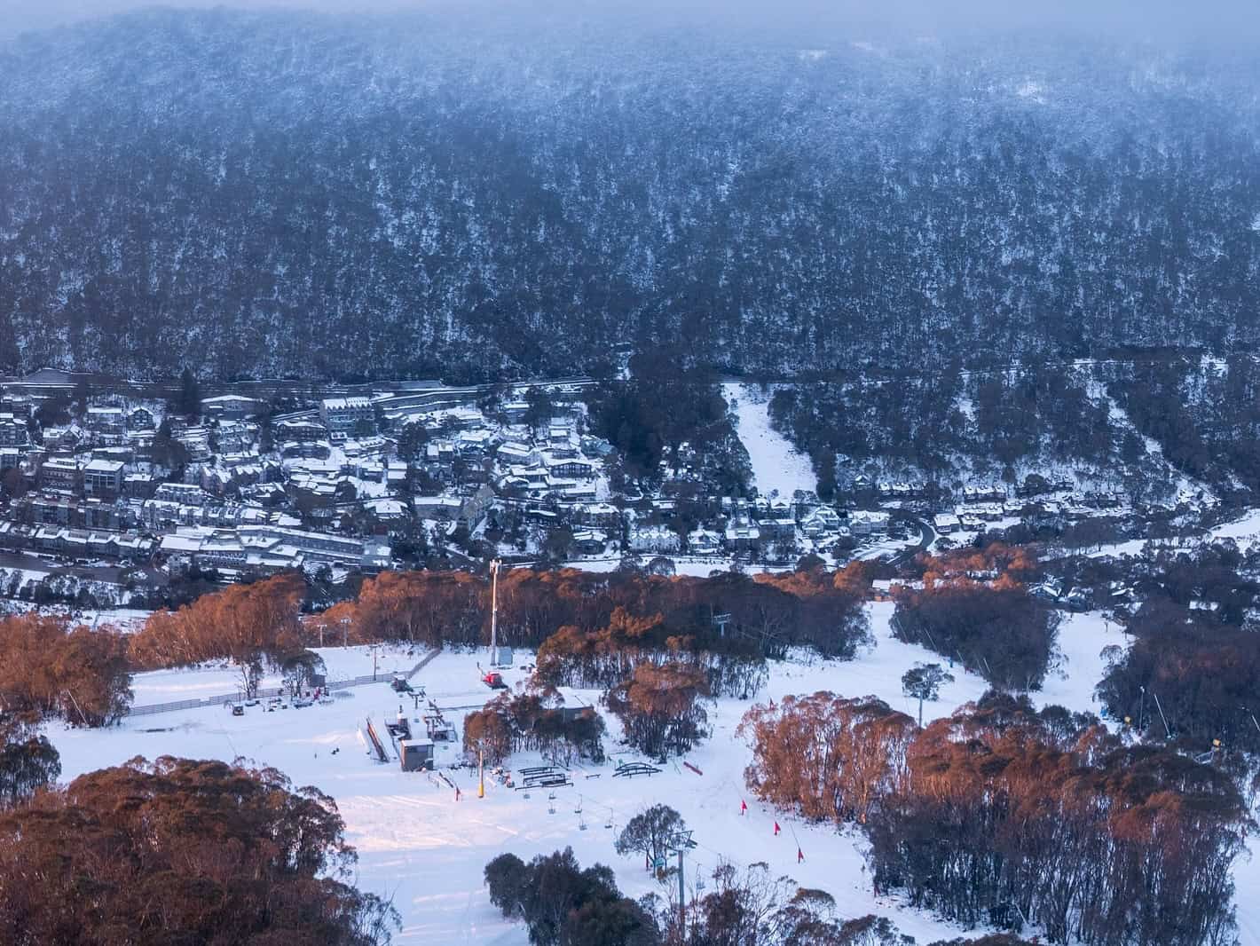
The weekend’s storm finally cleared last night with a just a dusting of couple of centimetres of wet snow in the past 24 hours. The mountains are looking good this morning, the five-day storm leaving some excellent snow totals in its wake.
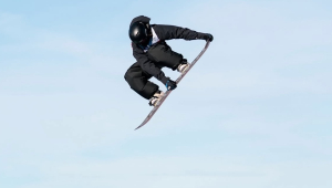
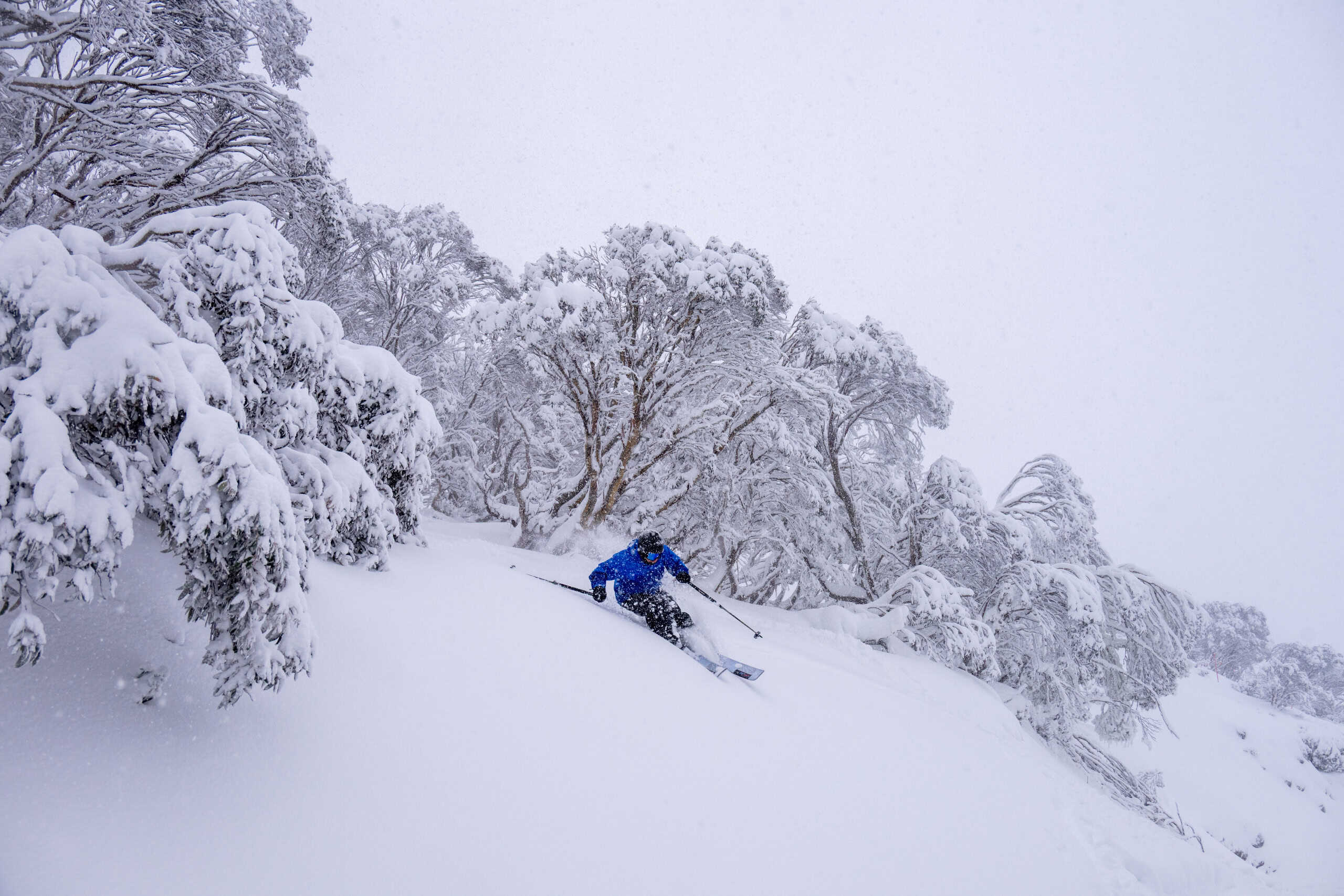
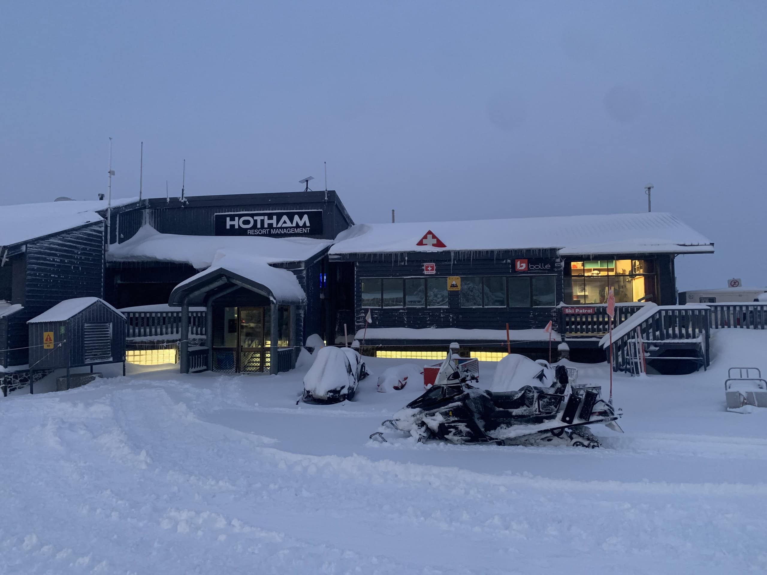
It was one of the best early season storms in years with Hotham and Falls Creek reporting four-day totals of 70cms, Charlotte Pass and Perisher 60cms, Thredbo 50cm and Mt Buller 35cms. The strong WNW winds also blew in a lot of snow, creating blizzard conditions at times and hit a peak at Thredbo’s top station of 90km/hr on Saturday night.
The timing was perfect, coinciding with the “official” opening weekend which is usually more about socialising than snow. The week leading into the storm saw a few good nights snowmaking, the focus in all resorts on beginner/intermediate areas, but outside of that terrain the mountains were green.
It was shaping up as a typical opening weekend, with limited terrain open for skiing and snowboarding, both Buller and Thredbo announcing mid-week that some lifts would open on Saturday. Mount Buller’s snow factories had produced 15000 cubic metres which was pushed out on Bourke Street while Thredbo’s Friday Flat was looking good thanks to four consecutive snowmaking nights.
Perisher also jumped on board, planning to open a beginner’s snow runner on Front Valley, but after a solid night’s snowmaking last Thursday, the resort announced the Village 8 chair would also open.

Last weekend’s storm had first shown potential a week or so earlier, but by last Monday, June 2nd, it was starting to firm up. In his first forecast for the season the Grasshopper said that it should arrive late Friday and that “Snow levels are looking marginal for the lower slopes for Opening Weekend, but mid and upper levels at least should receive decent snowfall from strong, chilly winds from the northwest, which will blow in some extras from the windward side.”
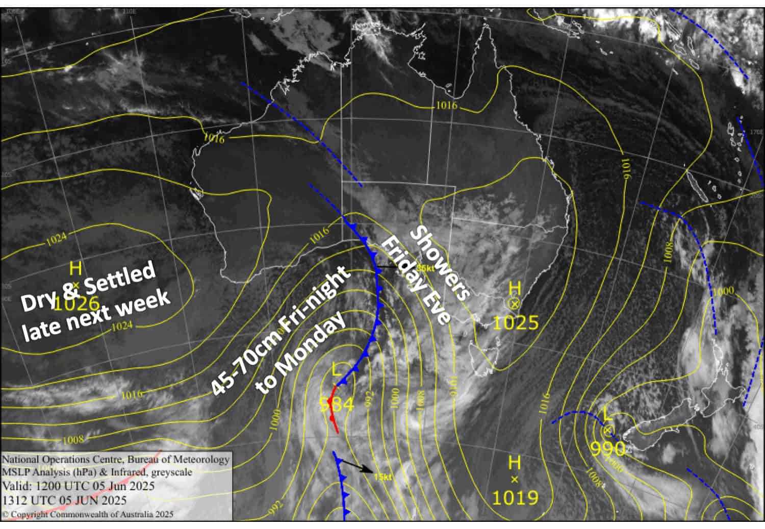
We’ve all been burnt any “fizzers” over the years and there was a lot of online scepticism, but this storm stayed on track with the forecast models holding up. In his forecast on Wednesday June 4th, Grasshopper was agreement with the models, writing that the “storm out of the southwest will hit Friday night and persist through to Wednesday next week. Conditions won’t be pleasant, but a solid 40 to 60cm of fresh snow will get the season off to a great start.”
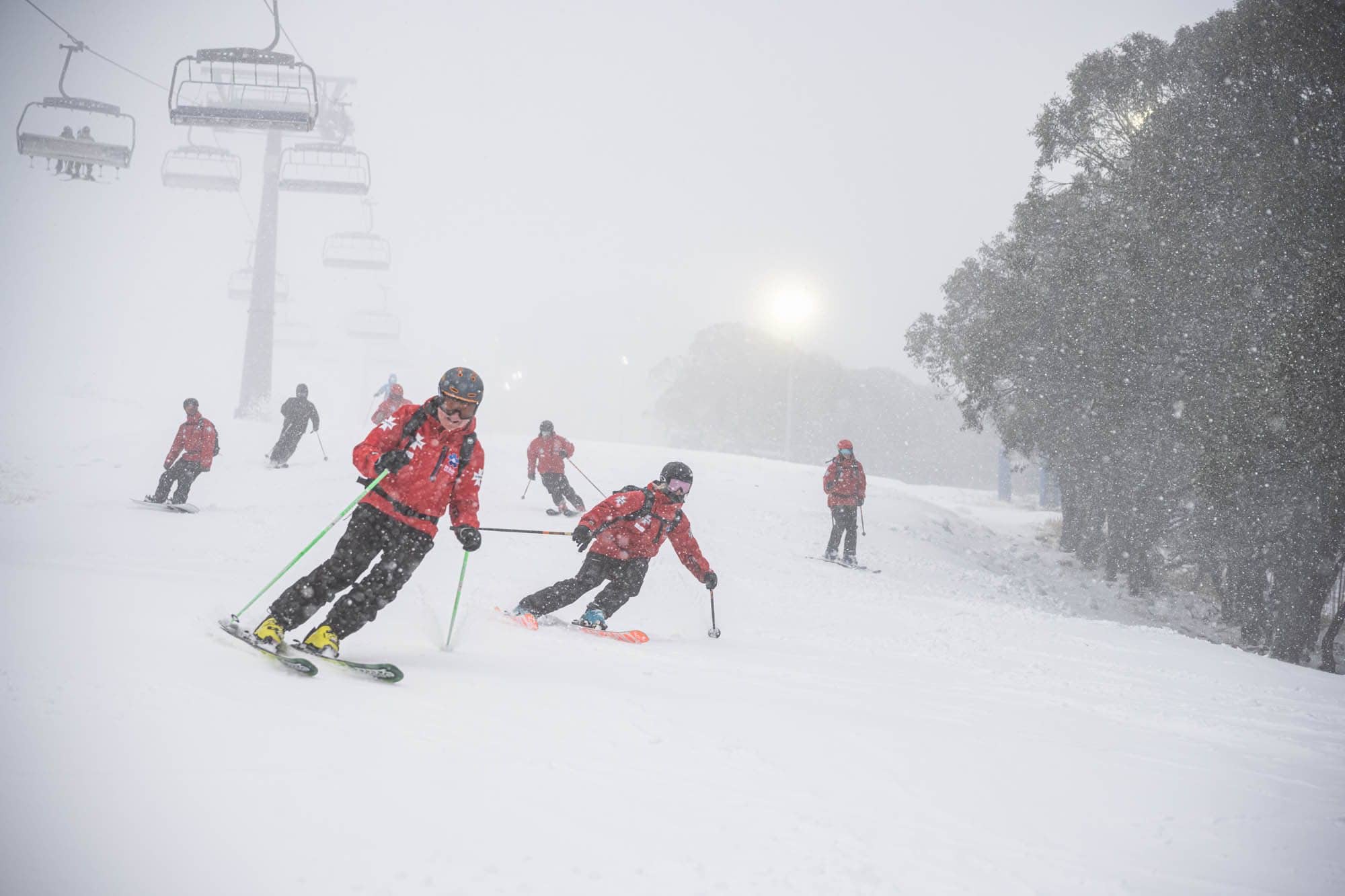
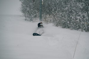
The first front dropped 5-10cms across the resorts on Friday night, and while it was initially a mix of rain and sleet here in Thredbo village, freezing levels dropped and widespread snowfalls picked up across the mountains throughout Saturday. On Sunday morning there was 10cms in the village with 25cms at mid-mountain. Perisher was also reporting 25cms at the base in Perisher while Hotham, Falls and Buller had received 24-hour totals of 30cms. Consistent snow falls on Sunday and Monday added another 15-20cms across the resorts while plummeting freezing levels saw snow falls as low as 800 metres.
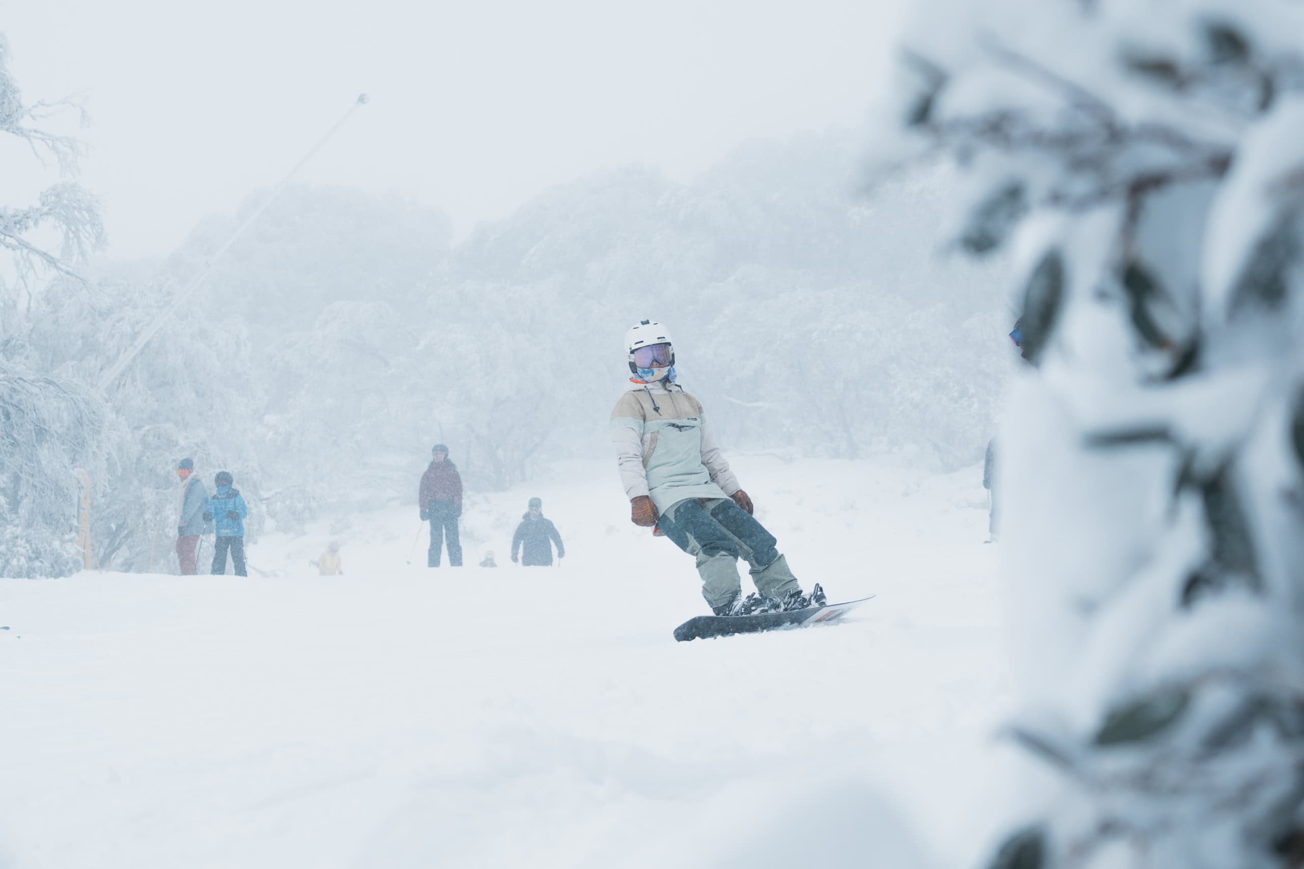
It was the storm we needed and when you remember that the monthly total for last August was just 20cms it has created a positive vibe here in the mountains. All resorts have announced that more lifts and terrain will open by next weekend and with a run of sub-zero temps over the next few nights, the snowmakers will also consolidate the current base.
Hopefully we won’t have to wait long until the next natural snow fall.
Make sure you stay across conditions in you resort any checking our daily independent snow reports from our on the ground reporters and the Grasshopper’s detailed forecasts.