The South Island Storm Delivers up to a Metre of Fresh Snow – Gallery

A scene you’d expect to see much closer to July Image:: Coronet Peak
Mountainwatch | Storm Wrap
The Grasshopper’s wings started clicking last week, and we listened. We issued the very first snow alert of 2016. And boy were we excited.
As he pointed out, there was a lot of uncertainty between the models in the lead-up to the event, mostly related to the high SSTs currently persisting in the south-Pacific. But in the end, as the event neared closer the models realigned and it was the Southern Lakes that ended up in the firing line.
All things considered, most resorts in New Zealand are now sitting pretty with a decent ground-cooling base on the ground. The Remarkables have reported that they have observed up to one metre of snow at their summit, with a 70cm base at the carpark. No doubt they will be adding to this at every opportunity in the lead-up to their June 11 Opening Day.
With Australia set to score some snow in the coming days, it now finally feels like winter is just around the corner.
Let it snow.
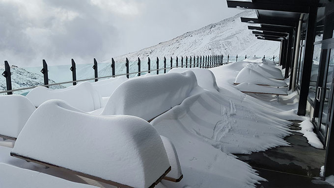
The Remarkables managed to claim the most snow Image:: The Remarkables
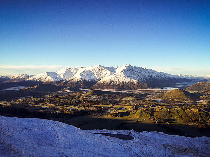
Autumnal contrasts in Queenstown Image:: Coronet Peak
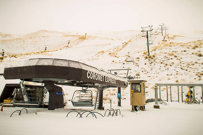
Not long till that lift will be spinning Image:: Coronet Peak
Resort preparations are now well underway Image:: Coronet Peak
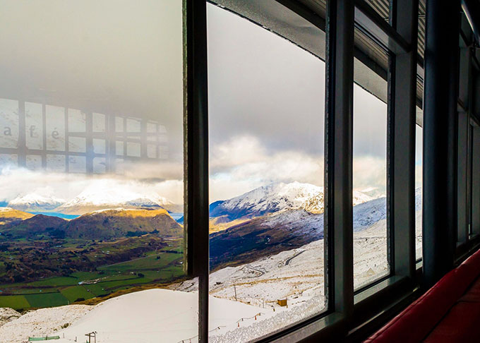
What a view Image:: Coronet Peak
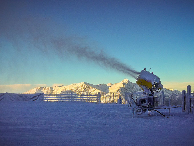
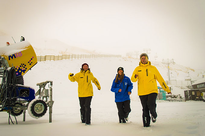
With snowmaking set to bolster the cover there will be plenty on offer for Opening Weekend Image:: Coronet Peak
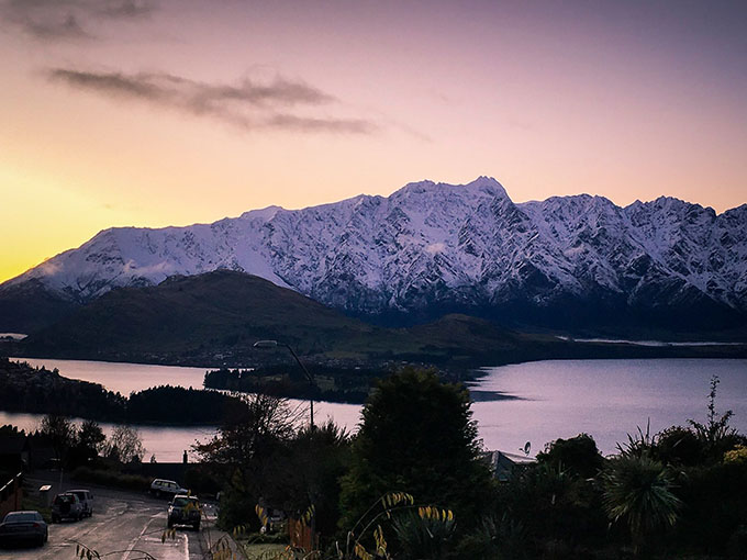
Autumn vibes in Queenstown Image:: NZSki


