UPDATED Snow Alert – 30-50cm On the Way, Snow to Low Levels
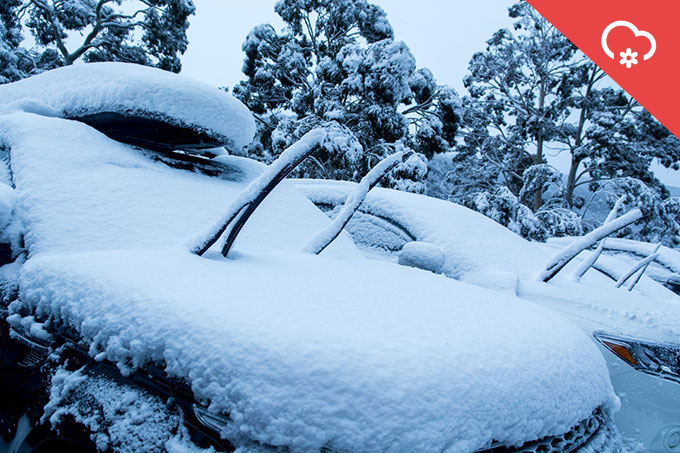
Shovels will be required come Sunday. Image:: Thredbo
Mountainwatch | Snow Alert
SNOW ALERT
Snow Likelihood rating: Strong Confidence
Updated: June 20, 2016
UPDATE
Well, thankfully the rain has come and gone and now we can focus on the exciting news still to come. We last updated you guys last week, when The Grasshopper identified the system that’s now due to make itself known tomorrow with blizzard conditions and snow to 1300m. The even better news is that the system has improved, bringing the likely totals to between 30 and 50cm depending on which resort you look at. In today’s forecast he explained: “You may want to tie yourself to the mountain tomorrow as gale force north-westerly winds blast the Aussie Alps in advance of the appetizer cold front approaching from The Bight. Wind hold will be a problem. It looks like we might do a bit better out of this one than previously thought. Strong winds will enhance the moisture as it runs into the Aussie Alps. I’d expect between 10-20 cm of wind blown snow down to 1300m.”
Following that, the main event is due to arrive on Thursday. He goes on, “The cold front will cross the Aussie Alps early on Friday morning bringing a period of heavy snow down to 1300m. Snow showers will then filter in on cold south-westerly winds for the rest of Friday with VIC resorts, such as Falls Creek or Hotham, doing best. Snow totals from the Thursday-Friday cold front will be in the 15-25cm range. Total snowfall over the next few days from Tuesday through to Saturday morning will be 30-50cm range.”
So, if you’re anywhere near the mountains it might be time to park up in front of the fire with a good book to read as the storm rages outside. By this time next week we expect to see a number of resorts racing to open new terrain in time for the school holiday crowds. Buckle-up, this is going to be fun!
In the mountains this week? take some photos and send them to:alexh@mountainwatch.com
——————————————————————————————–
After the disappointment of the last few fizzers, we’re super excited to bring you guys the news that a more “traditional” cold outbreak is currently steaming through the Southern Ocean, ready to drop a healthy dose of snow on the Australian Alps.
Of course, like any early season system we have to take the good with the bad, and that means enduring yet another significant rain event due to arrive on Sunday before the main event. In today’s forecast The Grasshopper said: “I don’t like what I have to say about Sunday and Monday but here we go. The low will intensify early on Sunday before ripping down the NSW coast Sunday afternoon into Monday and metamorphosing into a dreaded East Coast Low. Rain on Sunday afternoon will intensify overnight into Monday before trailing off on Monday evening as the low heads for New Zealand to spread more misery.” Unfortunately it will be all too warm for any chance of snow, but it’s not like we have much to lose anyway.
By the time it’s all over there will have been between 30 and 60mm of rain. But then it’s time for the good news. “Strong to gale force north-westerlies on Tuesday herald a change to much colder and snowier weather as a cold front approaches from The Bight,” he continued. “Snow will arrive during the afternoon to leave 10-15 cm down to 1500m by Wednesday morning.”
But that’s only the entree, the best news is still to come: “A weak high will then build in for Wednesday while another low lines up in to the south-west. A blast of strong north-westerly winds on Thursday will cause further problems with wind hold before a heavier fall of snow Thursday night into Friday as a cold front crosses the Aussie Alps. I’ve got my antennae crossed that the models don’t back off this one as it has the potential to slam us with 20-30 cm of snow down to 1000m.”
At this stage, the long-term models seem to be in good agreement, with a more typical cold outbreak due to arrive that will bring gale-force south-westerly to westerly winds that should bring snowfalls to low levels and all major resorts. As always, one caveat: we’re still a week out from this event, and snowfall totals could increase, or slightly decrease. The good news is that either way, we’re looking at a strong chance of snow. Which is a great reason to get excited!
Think differently? Leave a comment below to get the discussion started.


