Weekly North America Forecast, Thursday Jan 22nd – Settled Spell Continues, But Colorado & New Mexico Score Friday & Saturday
Mountainwatch | The Grasshopper
Written Wednesday evening, 21st January (Pacific Standard Time)
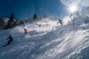
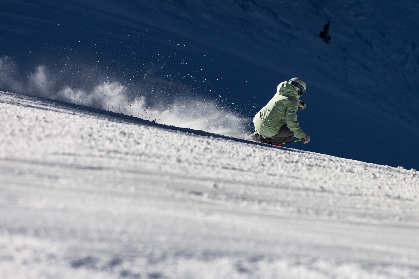
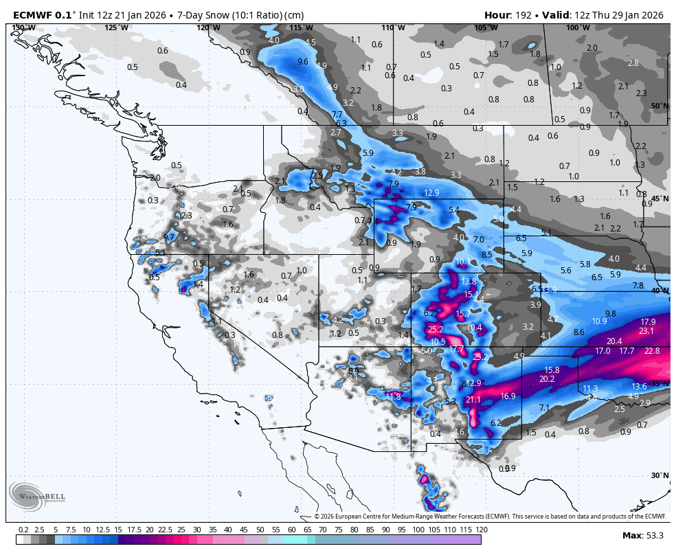
It’s been a quiet week in western North America. However, Colorado received up to 20-25cm after a freezing Arctic airmass brought light snowfall to the eastern Rockies. Colorado, along with New Mexico, will once again be favoured this week, thanks to a storm flaring up as it tracks eastward across the south during Friday and Saturday. Most resorts here will receive a desperately-needed 20-40cm, with 50+ cm possible in some spots.
Other than that, it’ll be a relatively quiet week ahead. The Canadian Rockies and northern US will also pick up a couple of light dustings of high-quality powder as fresh waves of Arctic air push south. The cold temps will keep the bumper crop already established across interior BC and Alberta in good nick, and winter sunshine will make up for the lack of fresh snow.
Models are picking a storm will finally arrive somewhere along the Pacific Coast Crest at the end of this forecast period in what could be the start of a gradual buildup in the storm cycle.
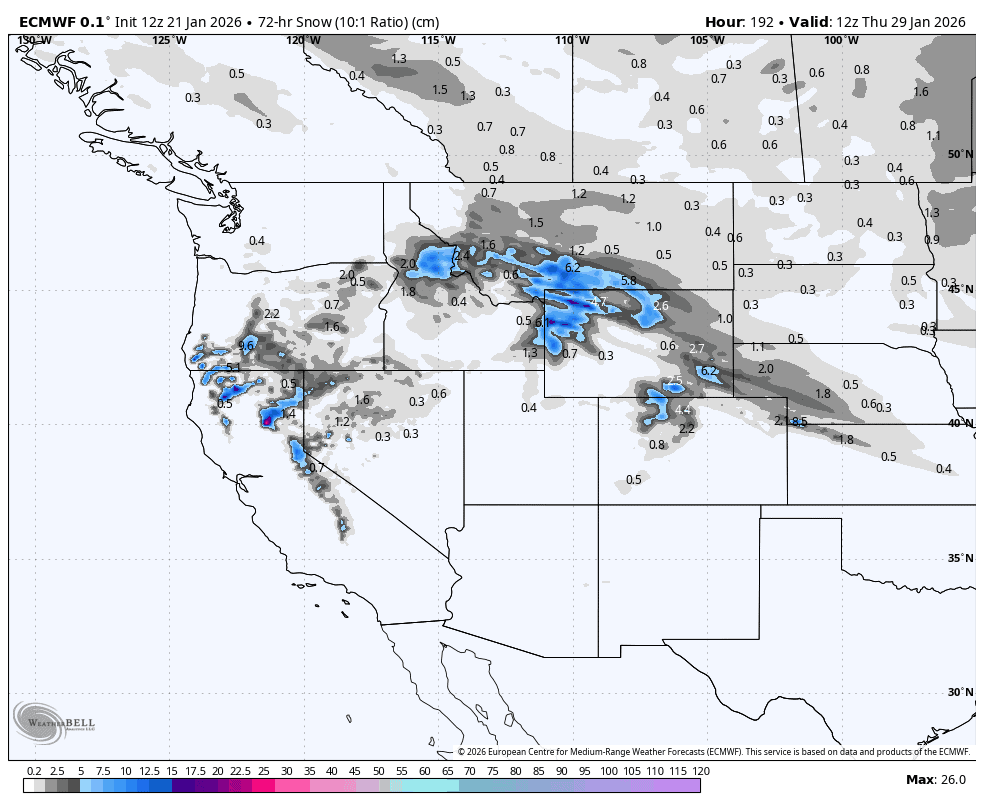
Thursday January 22nd to Sunday January 25th
The situation remains quiet and settled across western North America on Thursday. A very weak low-pressure system drifts eastwards over the Sierras, bringing snow showers to high elevations, favouring Mammoth with a few centimetres at best.
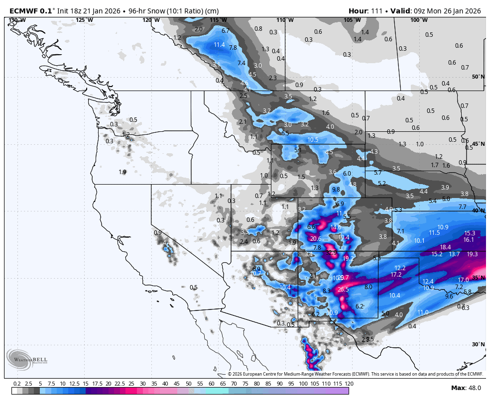
The weak storm will strengthen significantly on Friday and Saturday as it tracks further inland over the south. Light snowfall turning up in southern Utah and Colorado on Thursday night will become heavier and more widespread across the Southern Rockies as warm, humid air from the south meets a frigid Arctic airmass descending from the north.
By daybreak on Sunday, the system will have exited to the east, leaving a solid, much-needed 20-40cm of fresh powder over New Mexico and Colorado, with 50+ cm possible in some exposed areas. Arizona and Utah south of the Wasatch Range will also pick up 10-25cm. Resorts in Alberta, Montana and Wyoming will also pick up a dusting of powder in the 2-10cm range during this period via the Arctic airmass, which pushes down into the eastern side of the Rockies.
Monday January 26th to Wednesday January 28th
With the southern storm away to the east, settled conditions once again return to western North America. Monday will be particularly quiet as high pressure dominates, and freezing temperatures continue to affect the northern Rockies, especially Alberta and interior BC.
Models get a bit wobbly and uncertain from Tuesday onward as they struggle to handle weak synoptic features. However, there’s a good chance another Arctic airmass sinking southwards will bring high-quality powder to the central-northern Rockies during Tuesday and Wednesday. Parts of Idaho, Montana, Wyoming and northern Colorado are likely to be favoured with anywhere between a light dusting and 25cm on the cards. Interior BC and Alberta also stand a chance at picking up some of this, but it’s most likely to be at the low end of that scale.
Later on Wednesday, a storm from the Pacific is expected to make landfall somewhere along the Pacific Crest. The storm will likely start warm with elevated snow levels at first, and if it starts in the Sierras, as the ECMWF model expects, then it should spread northward into the Cascades and Canadian Coast Mountains the following day, marking the first action the area has seen for over a week.
That’s all from me today, folks. Have a great week, and I’ll see you back here next Thursday for another weekly rundown of North America’s highlights and snowlights.
Grasshopper