Weekly North America Forecast, Thursday January 15th – Long High & Dry Pattern Ahead
Mountainwatch | The Grasshopper
Written Wednesday afternoon, 15 January (Pacific Standard Time)
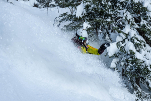
A warm, wet storm saw many Canadian resorts pick up around 15-30cm earlier this week. However, the storm benefited the higher terrain, and Banff, Lake Louise, and Whistler all recorded 50-60cm.
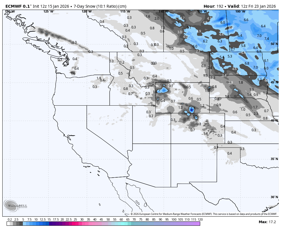
High pressure has now gripped the entire western North America, bringing seasonably warm, dry conditions. This pattern will remain in place through the next seven days, giving us a prolonged fair-weather window.
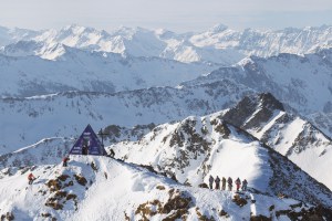
The pick of the bunch will be those resorts with a deep base already established, with the fine weather making it even better. Resorts in the Canadian Rockies will rank the highest in this instance, after benefitting from the deepest December on record and good snowfall through early January.
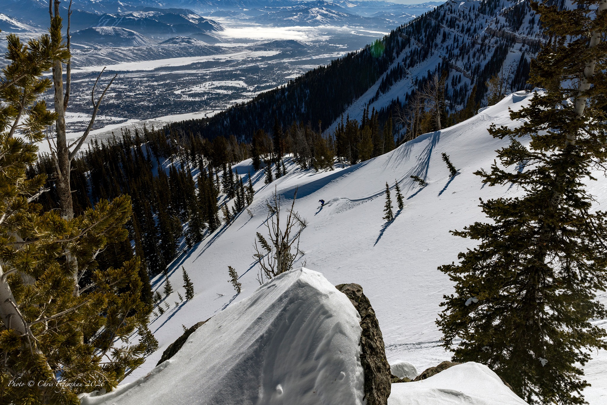
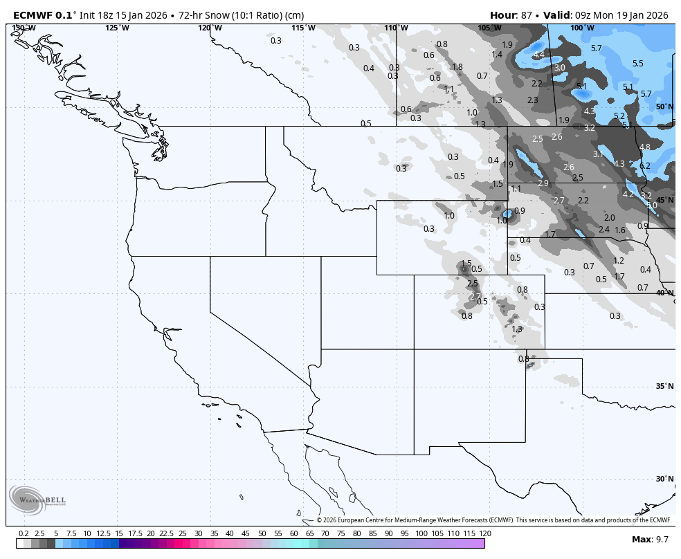
However, small as they may be, resorts in Colorado and Wyoming will likely record the largest totals over the next 7 days, thanks to cold air flowing out of the north, giving the eastern side of the Rockies a dusting of snow, followed by a weak storm tracking southeast from the Cascades on Thursday
Friday January 16th to Sunday January 18th
The high-pressure pattern will keep most of western North America warm and dry during this three-day period. However, on the fringes of a storm farther east, cold air from the north will flow down the eastern side of the Rockies on Friday and early Saturday, bringing light snowfall. Eastern resorts in Colorado and Wyoming will benefit the most with up to around 10cm expected in the most exposed terrain.
There’ll be another surge of cold air down the eastern side of the Rockies on Sunday, but this time, no resorts will pick up any fresh snow.
Monday January 19th to Thursday January 22nd
Dry conditions persist throughout this time period as high pressure remains in place over the West. On Wednesday, more cold air flowing down the Rockies will bring another dusting of snow to eastern resorts from Calgary to Wyoming.
Then on Thursday, a weak storm system passes over the Cascades and tracks southeast through the Rockies, bringing light to moderate snowfall. Although the situation is still uncertain, there’s a good chance resorts in Colorado and Wyoming will once again benefit the most from this one, with a fresh top-up of high-quality powder likely.

That’s all from me today, folks. Have a great week, and I’ll see you back here next Thursday for another weekly rundown of North America’s highlights and snowlights.
Grasshopper