World Snow Wrap, January 4th, 2026 – Japan Kicking into Gear, More snow in Canada, Hit and Miss in the US, Dry Spell Ending in Europe.
Mountainwatch | Reggae Elliss
Over the past two weeks the Canadian Rockies has been the place to be with good pow days around Christmas, while in the US there have been some big snowfalls in California but close to nothing in Colorado. Japan is now looking good after a stop-start December and after an extended dry spell in the European Alps, there is some welcome snow on the way.

Japan
After a relatively ordinary December Japan’s resorts a good storm dropped 80cms across Japan’s resorts on Boxing Day and it was backed up by another storm on New Year’s Eve. While these storms helped there is a lot more needed before resorts on both Honshu and Hokkaido have 100% of terrain open with tree runs and lower elevations still pretty thin.
The slow start saw Niseko with a November/December snowfall total at the base of 218cms, the lowest Dec 31st total in 14 years. It was a similar story for resorts on Honshu where the first significant storm the season hit in the first week of December, but mild temps and some rain between systems have reduced the snowpack down low.
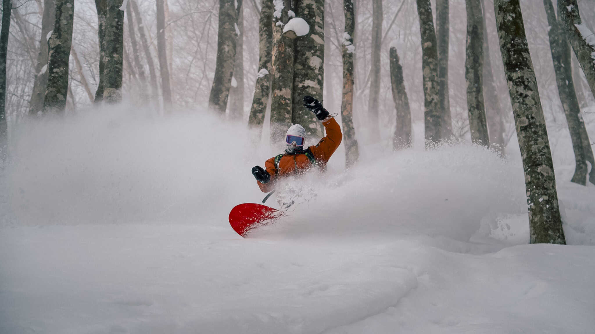
But as we all know it doesn’t take much for things to turn around in Japan and over the past few days the upper slopes at Niseko have picked up 65cms of dry powder while on Honshu, Hakuba has 40cms while Myoko has received 68cms at the base, probably 80cms up high.
Good snowfalls tare expected tonight and after a break on Tuesday another storm will hit both Hokkaido and Honshu on Wednesday. The Grasshopper reckons this one will start out warm before cold air moves in and we see “a dump of heavy snow”. Check his forecast for the details. Also, for on the ground conditions check out our daily snow reports for Niseko, Hakuba, Nozawa and Myoko.
Canada
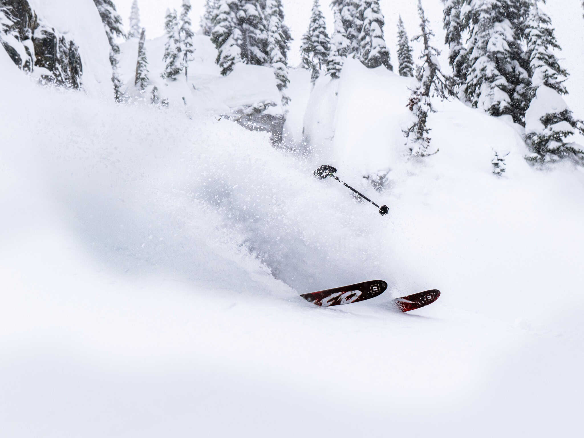
It has been an excellent season so far for some resorts in western Canada, particularly in the Canadian Rockies with both Kicking Horse and Lake Louise enjoying record Decembers, Kicking Horse with a cumulative total at higher elevations of over 3 metres while Lake Louise received 504cms on the upper mountain.
The week leading into Christmas turned on some epic days again for both resorts while interior BC resorts also had plenty of snow, Revelstoke with 35cms in from December 21-25. Fernie joined the party after Christmas with 35cms in 24 hours in December 26/27th.

The past week has seen a couple of lighter snowfalls for interior BC, interspersed with clear, cold weather.
Whistler also some good snow leading into Christmas, but the past week has been sparse with just a seven-day total of just 7cms. While the upper mountain is in good shape, more snow is needed on the lower mountain, but is only the first week of January, so early days.
A storm this weekend will bring high elevation snow for Whistler while a colder stronger storm on Tuesday is set to deliver heavy snow to Whistler and the coast Mountains with moderate snowfalls further inland.
USA
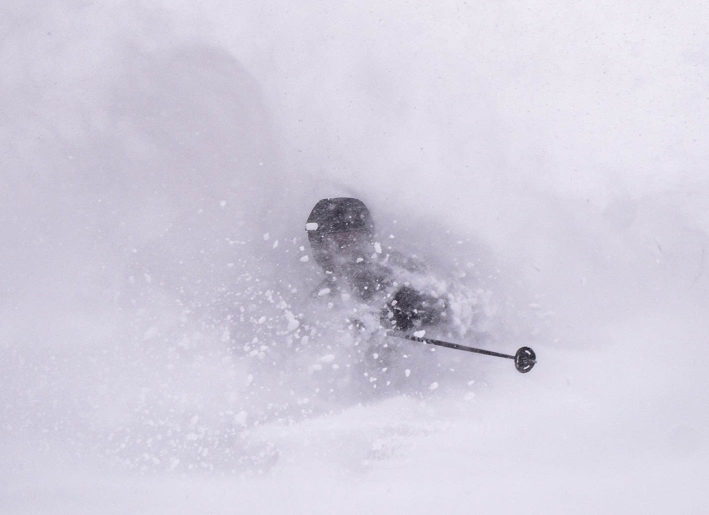
When we published our last World Snow Wrap on December 21st, a big storm was on the way for California’s Sierras, with massive forecast totals for Mammoth and the Tahoe resorts. It certainly delivered, and in a big way, Palisades Tahoe receiving two metres over five days and transforming from 95% grass and rock to having 20 lifts open six days later.
Mammoth received 185cm over a four-day period that saw the resort closed for two days due to avalanche danger. Tragically two patrollers were caught in a slide while working avalanche mitigation and one of the patrollers, Cole Murphy, aged 30, sadly died from injuries sustained in the avalanche.
As it moved east, the storm favoured areas to the north, Jackson Hole and Grand Targhee picking up 60cms over four days while Sun Valley saw 50cms. However, Santa did not deliver for resorts in Utah and Colorado, Vail recording 10cms on Dec 28th, and Park City, 22cms over the 27/28th. With one of the worst late December snowpacks on record, Colorado and Utah are crying out for snow.
The good news is that resorts in Utah picked up some high elevation snow yesterday, with Snowbird reporting 30cm of dense snow up high and there was a few cms in Colorado. On Tuesday another storm will move south from Canada with colder temps, with big snowfalls again for the Sierras but it should also drop significant totals in Utah and Wyoming. Steamboat should also enjoy good snow totals, but unfortunately it looks like resorts in further south will miss out.
Europe
It was a dry December in the Alps, with some areas now having gone over a month without fresh snowfall and bases in many resorts are well below average. At this stage the best cover in the major resorts is at higher elevations above 1800m but the open terrain is restricted to on piste runs.

Thankfully it looks like that dry, mild pattern has ended and some regions in the Alps received snow over the past few days. There were some solid totals, too, with 20-40cms in Austria’s western alps and across the border in eastern Switzerland
The Alps will see more widespread and heavier snowfalls this coming week, the forecast looking good for the in the northern French/western Swiss alps from Wednesday, Verbier in line for 60+cms.
Where We’d Like to Be This Week
Jackson Hole. A long time favourite but we haven’t been there for a while and the forecast is looking good.


