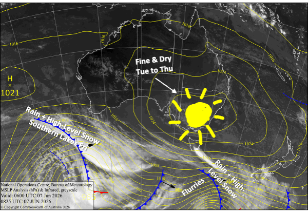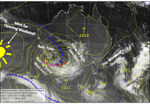
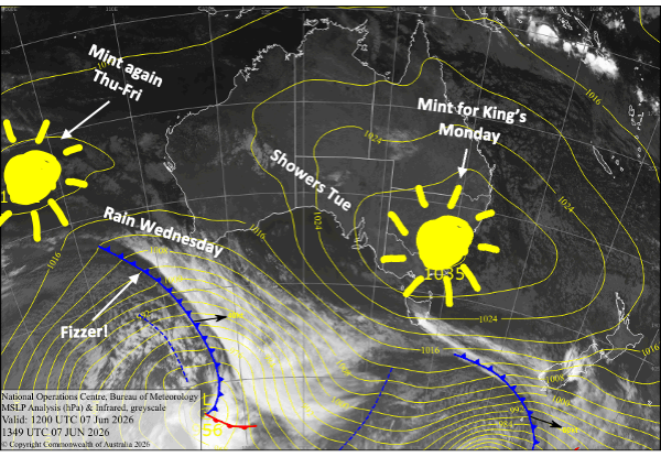
Australian Forecast – Mint Weather Continues for Today, Thu & Fri, Wet & Warm Tue-Wed
Published early Monday, 8th June 2026
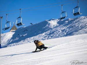
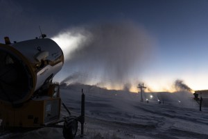
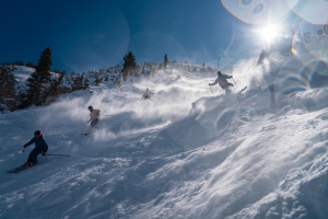
The Aussie Season has officially started, and it’s been a fantastic Opening Weekend with mostly blue, sunny skies. Resorts have one or two runs open on a mix of natural and man-made snow. After the snow settled from the lead-in storm, resorts are reporting bases of around 15-25cm. Most of that is on the mid-upper slopes, while the lower slopes are heavily reliant on the man-made stuff, much of which has been made as conditions have been ripe for it.
The weather stays mint for today’s public holiday, which will be the pick of the bunch before warm, humid northerlies bring showers on Tuesday and then rain on Wednesday as a weak front passes over. High pressure will then give us another couple of pearlers on Thursday and Friday to end the working week.
Monday 8th June
Another nice, sunny day for today’s public holiday. It’ll be a chilly start, and the snowmakers will have set up the groomers nicely, but temps will climb as warmer northerly breezes kick in. The snow guns should get another run overnight, especially in New South Wales.
Tuesday 9th June
Tuesday starts out nice, but occasional light showers develop over Victoria in the morning as northerly winds strengthen, with the one or two possibly showing up at the New South Wales resorts from the afternoon.
Wednesday 10th June
A wet ol’ day with rain for much of it, with strong, gusty northerly winds. Most of the rain will come down during the first half of the day, then gradually ease and clear through the back half as winds also back off.
Thursday 11th June
Any morning cloud clears to a fine, sunny day with light north-to-northwest breezes.
Friday 12th June
Another gorgeous sunny day, with northerly breezes, which will be light in New South Wales
Extended Forecast
This coming weekend, the 13th and 14th, will bring some rain showers and warm northwest winds as a weak front slips underneath us. Earlier forecasts for a shot of snow during this time have fizzled out, unfortunately.
There’s a chance we’ll see a stronger storm during the first half of next week, from about Monday the 15th to Thursday the 18th of June. Models are at odds over what will transpire; some say just rain, others say rain then snow. There’s also a chance we could see some more snow and cold air through the back half of next week. It’s too early to make a call, so all we can do is cross our skis and poles and keep our bases waxed until then.
That’s all from me today, folks. I’m sending out these forecasts every Monday, Wednesday and Friday throughout the season, and during July and August I’ll fire one out on Sundays too. Have a great couple of days, and I’ll see you back here on Monday.
Grasshopper