Storm Journal, July 12-14 – South East Flow Dumps Big Snow Totals Across The Snowy Mountains
Mountainwatch |Reggae Elliss
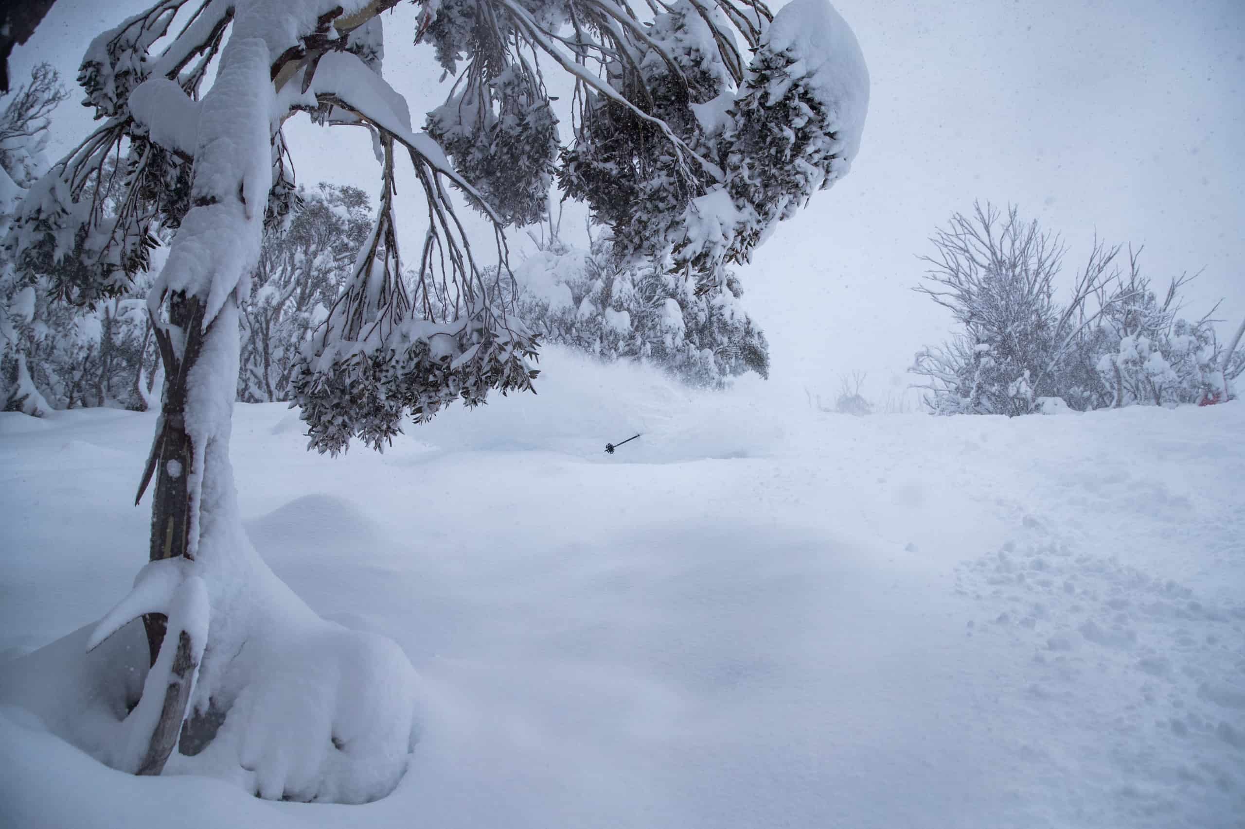
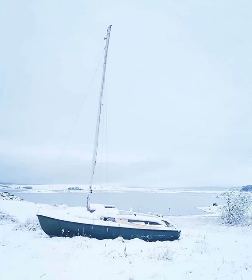
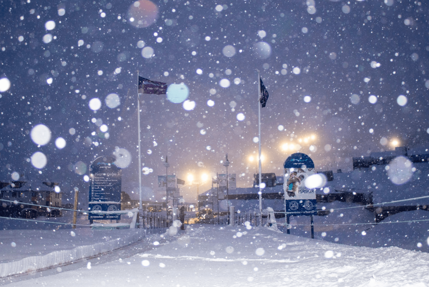
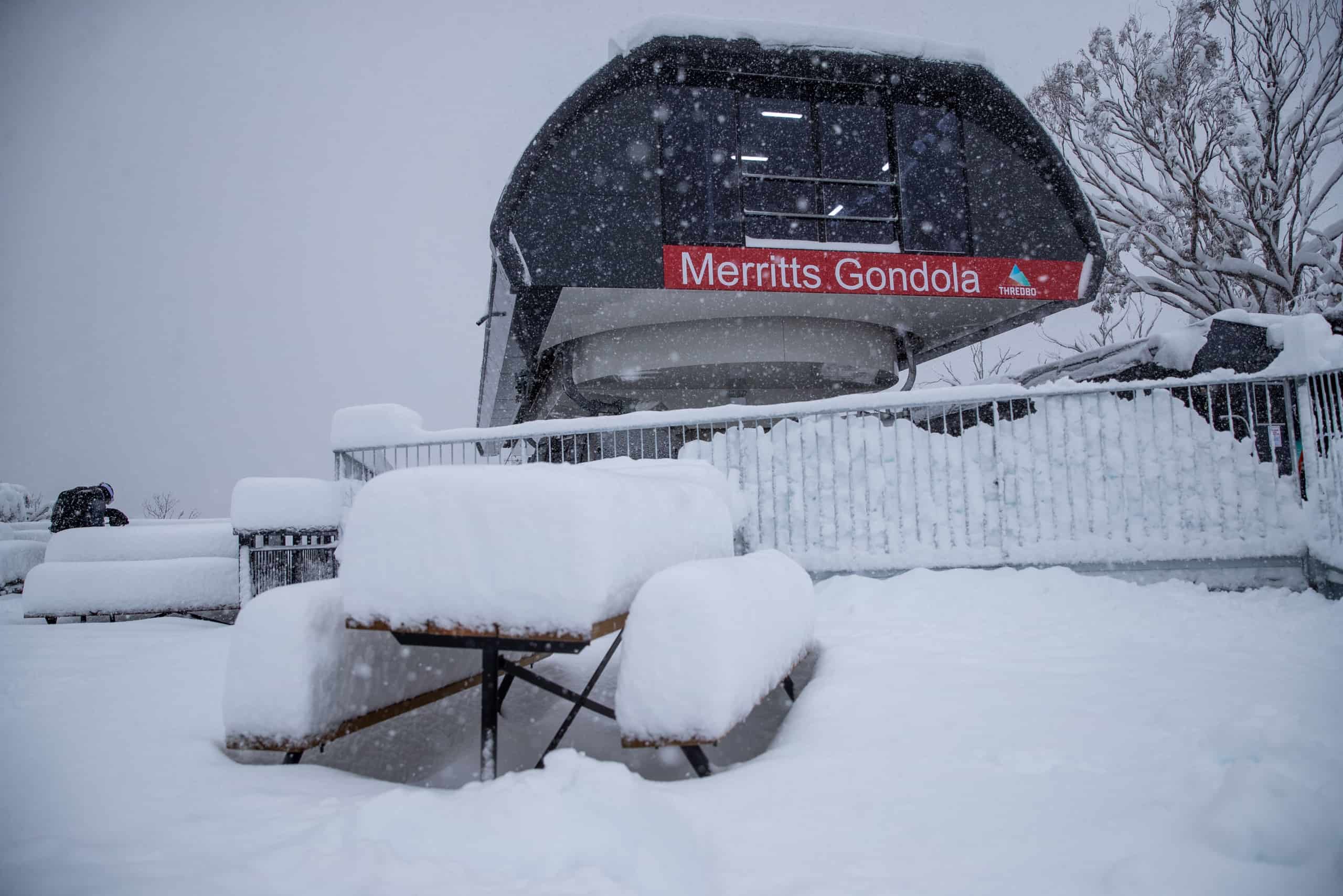
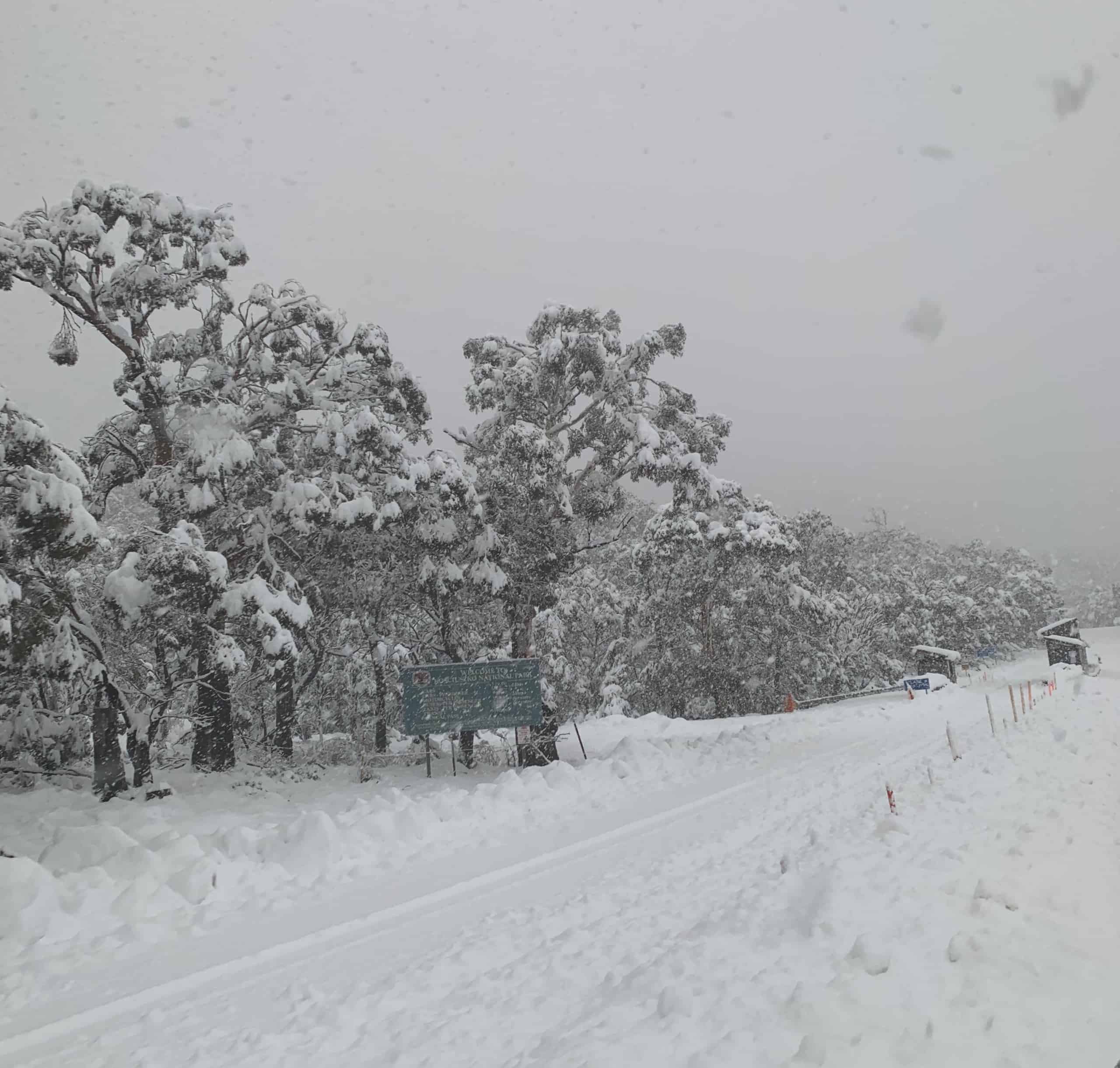
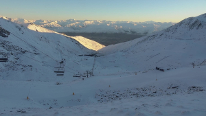
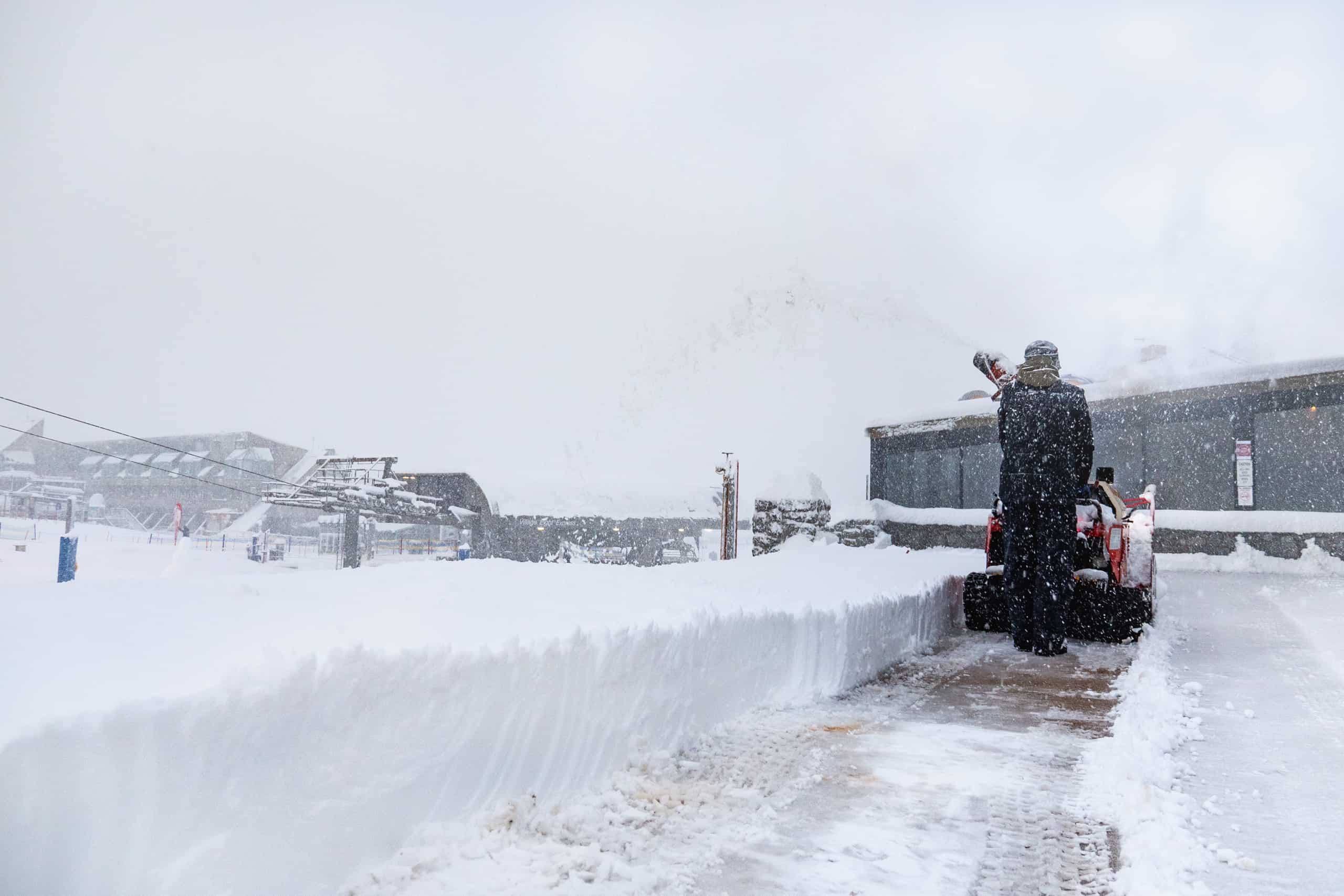
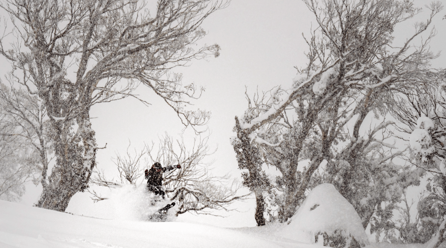
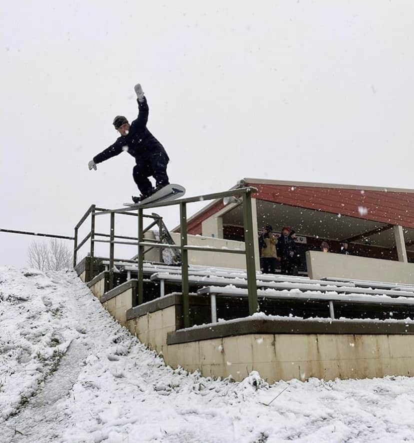
Well, that was an incredible 24 hours for the NSW resorts with 70-100cms of snow in a 24-hour period, the higher totals falling above 1800 metres, but there was also snow all the way down to Jindabyne and beyond.
The first snow fall came through on Sunday with a few centimetres during the day before things kicked in overnight, leaving 17cms on the deck outside my place in Thredbo Village and 40+cms on the mountain by yesterday morning.
The snow kept falling all day, dumping at times, before it finally eased at around 8pm last night and there’s a few lingering snow showers today. The result is 100% of the terrain in the NSW resorts now has a good base and more lifts will open this week.
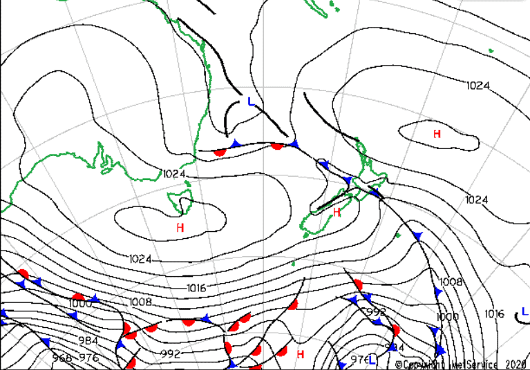
In the lead up to the snowfall the forecast models had the snow totals jumping around each day, with a mix of rain and snow on the weekend and the snowline expected around 1650 metres. On Thursday July 9, the Mountainwatch models were calling 50cms for 1830m across the Snowy Mountains, but the following day they had dropped back to 20-25cms.
The models changed for the better the next day, the Grasshopper writing in his latest season update on Saturday that a low-pressure system that would park itself off the NSW coast and direct a moist southeast flow over the Australian alps, but temps would be marginal:
“NSW resorts are in the firing line where 15-20cm should fall on lower slopes during the first half of the day before snowlines lift to about 1800. The second half of the day will see snow continuing on upper slopes, where 40-60cm is expected in total for the day, while snow turns to rain lower down. Resorts in Victoria will see much less snow fall on upper slopes, and just rain lower down.”
According to the Grasshopper it was the American model, the GFS, which was the first to indicate something much bigger and, in the end it performed the best out of all global weather models.
“Correspondingly, our own Mountainwatch model, which is based upon the GFS, was a forerunner in showing big snowfall figures, although these did fluctuate between models runs, as did freezing levels,” the Grasshopper said.
“The UKMO and ECMWF models eventually picked up the scent during the weekend, but never fully had a grasp on the situation. When forecasting, I survey all models and bias towards those that make the most sense and show consistency, and thus smooth out any big jumps. Even so, I underestimated just how much snow would fall, as well as snow levels.”
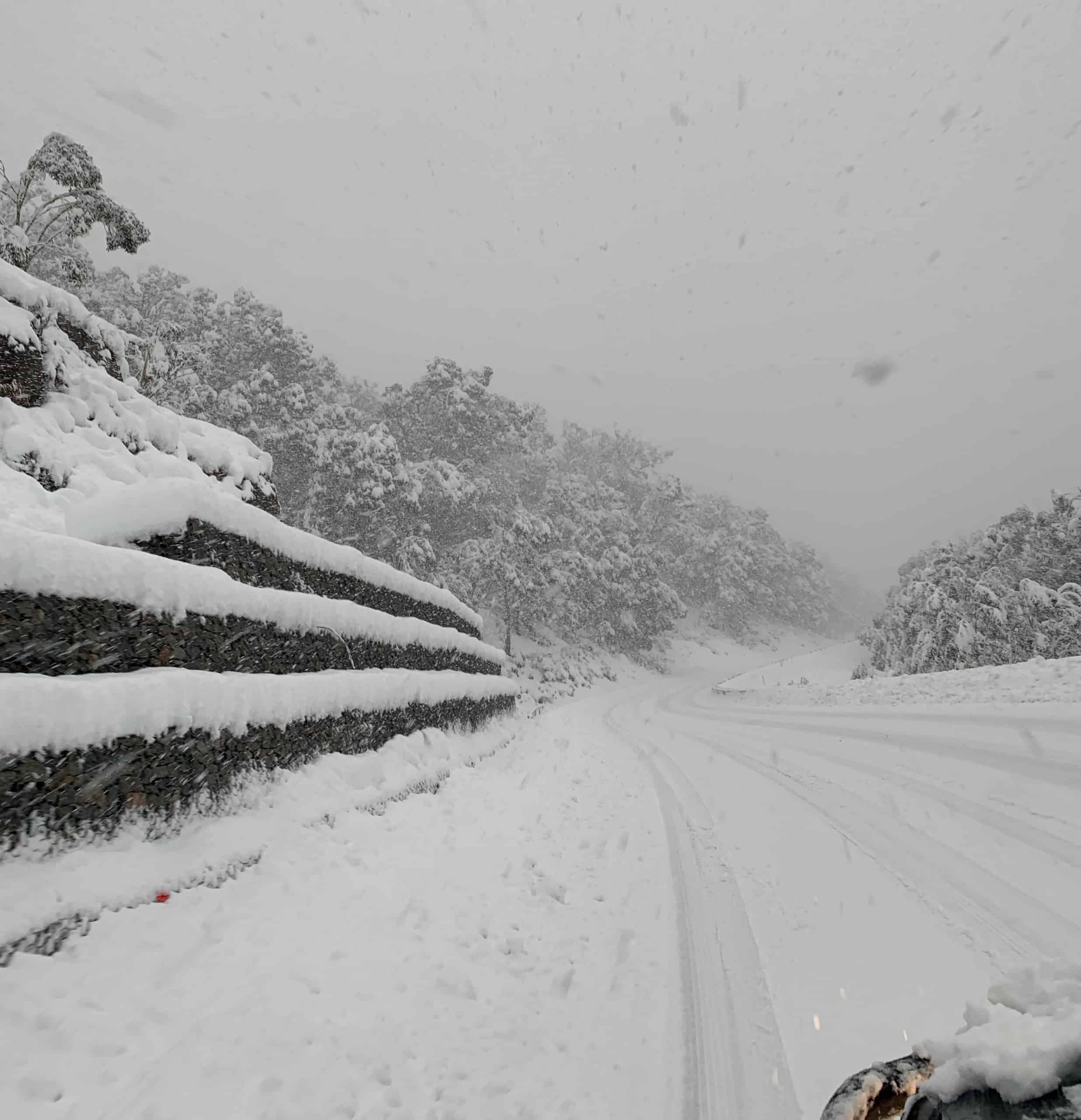
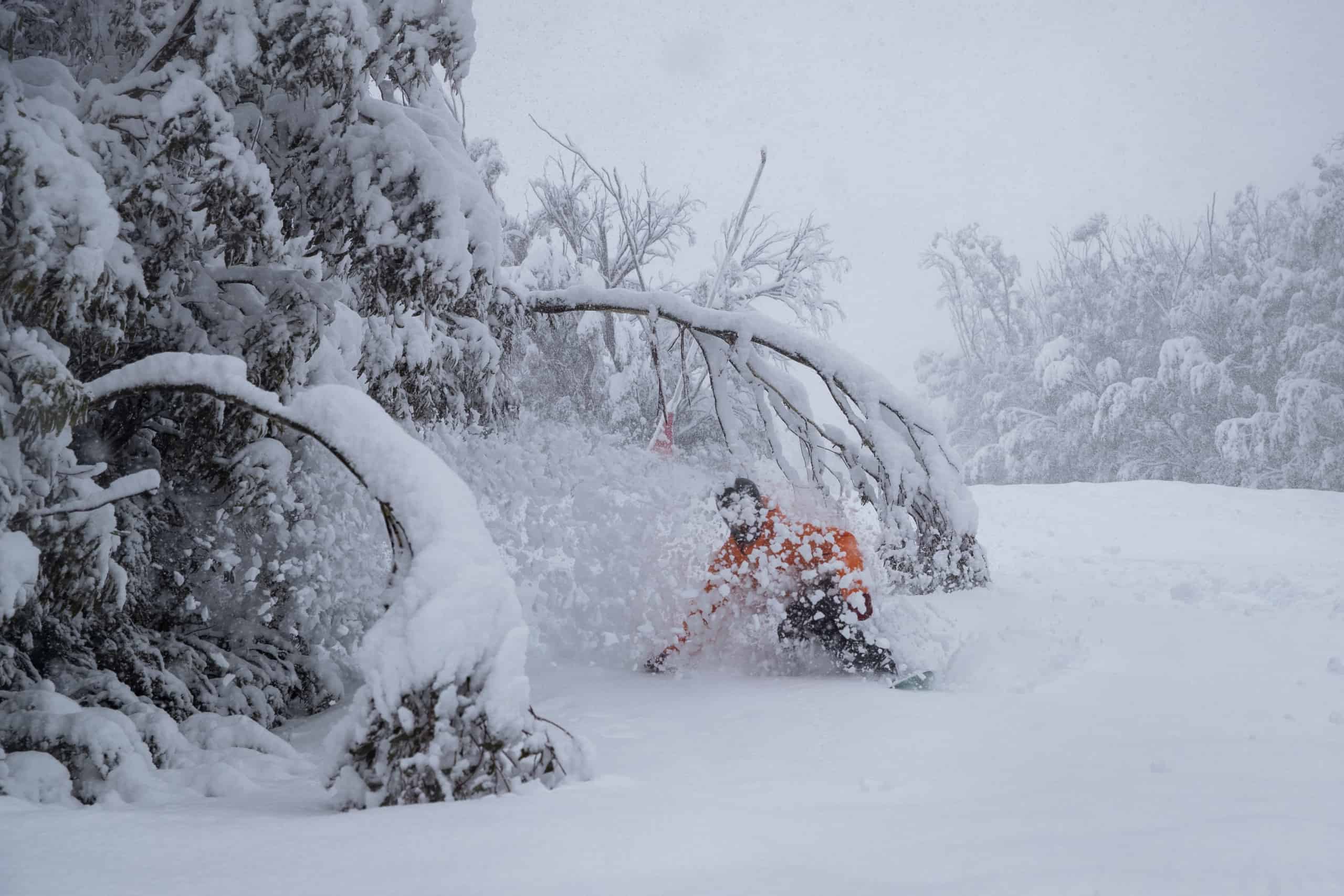
The NSW resorts have experienced some big snow events out of the southeast before, usually with marginal temps and wet and heavy snow. Yesterday was no exception but while the snow wasn’t too heavy in the morning, the density increased during the day and it was hard-going in the afternoon.
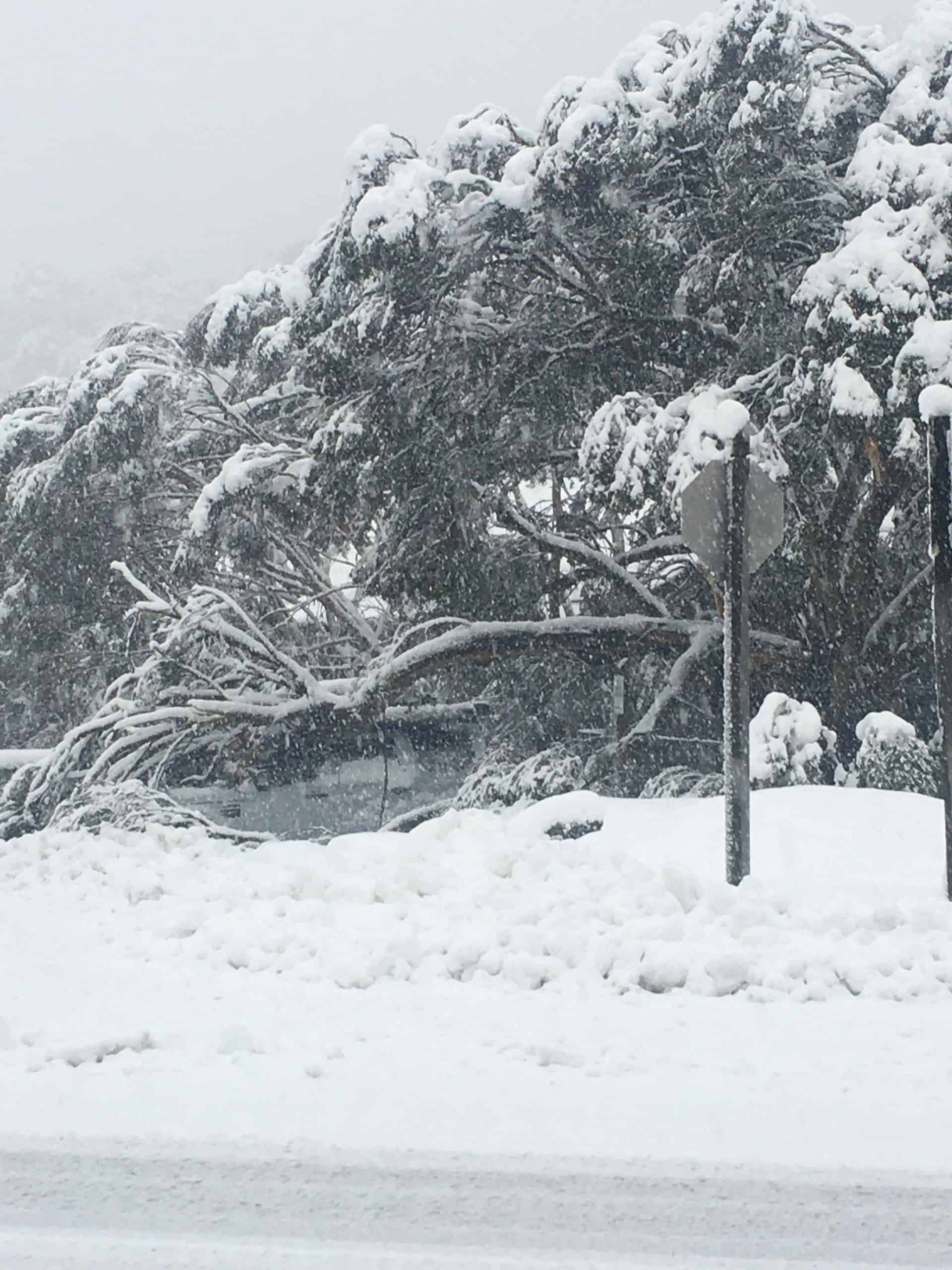
The amount and density of the snow also caused a few problems on the roads and the Alpine Way to Thredbo and Kosciuszko Road to Perisher both closed for a few hours. Fallen trees damaged cars and buildings and a tree also fell on power lines, leaving Thredbo without power from 8am to 3pm, a blow for businesses on what should have been a good day’s trading.
So, what weather factors lined up for so much snow to fall?
“It was a stationary front that did the damage,” the Grasshopper said. “Marking the boundary between cold air to the south and warm air to the north, the front was sucked into the southeast flow and pushed lengthways into the Snowy Mountains. Models not only struggled with the intensity of the front, but also its placement; any deviation from reality would result in considerably erroneous forecasts. And because the snow fell heavier than forecasts, it also fell lower (up to 600m below freezing levels) due to the enhanced effects of evaporative cooling of the atmosphere.”
So, there you have it, one of the biggest 24-hour storms seen for a long time and while we are not talking about a couple of epic days of dry powder, it was the perfect storm for building a base in the NSW resorts.
As for Victoria, even though Falls Creek and Hotham are only 100ks south of the Snowy Mountains as the crow flies, the front was a fraction too far north and they picked up just 10-12cms on Sunday night and nothing in the past 24 hours. Buller missed out on this storm all together but did pick up 5-10cms from a cold front early on the weekend.
Of course, Falls and Hotham have suspended operations until August 19, but businesses in each resort are still open and once there’s snow the backcountry will be calling. Missing out on yesterday’s snow was frustrating for those south of the border, but the Grasshopper reckons August is looking promising for regular storms so things may turn around soon.
Bill Barker was optimistic in his Hotham report this morning: “It seems like our northern neighbours are having a much more satisfying winter than us so far, but I am sure our turn will come … Hang in there.”