World Snow Wrap, February 2nd, 2025 – After a Dry Spell Snow Returns to Most Regions, Including Huge Snowfalls in Japan and Europe.
Mountainwatch | Reggae Elliss
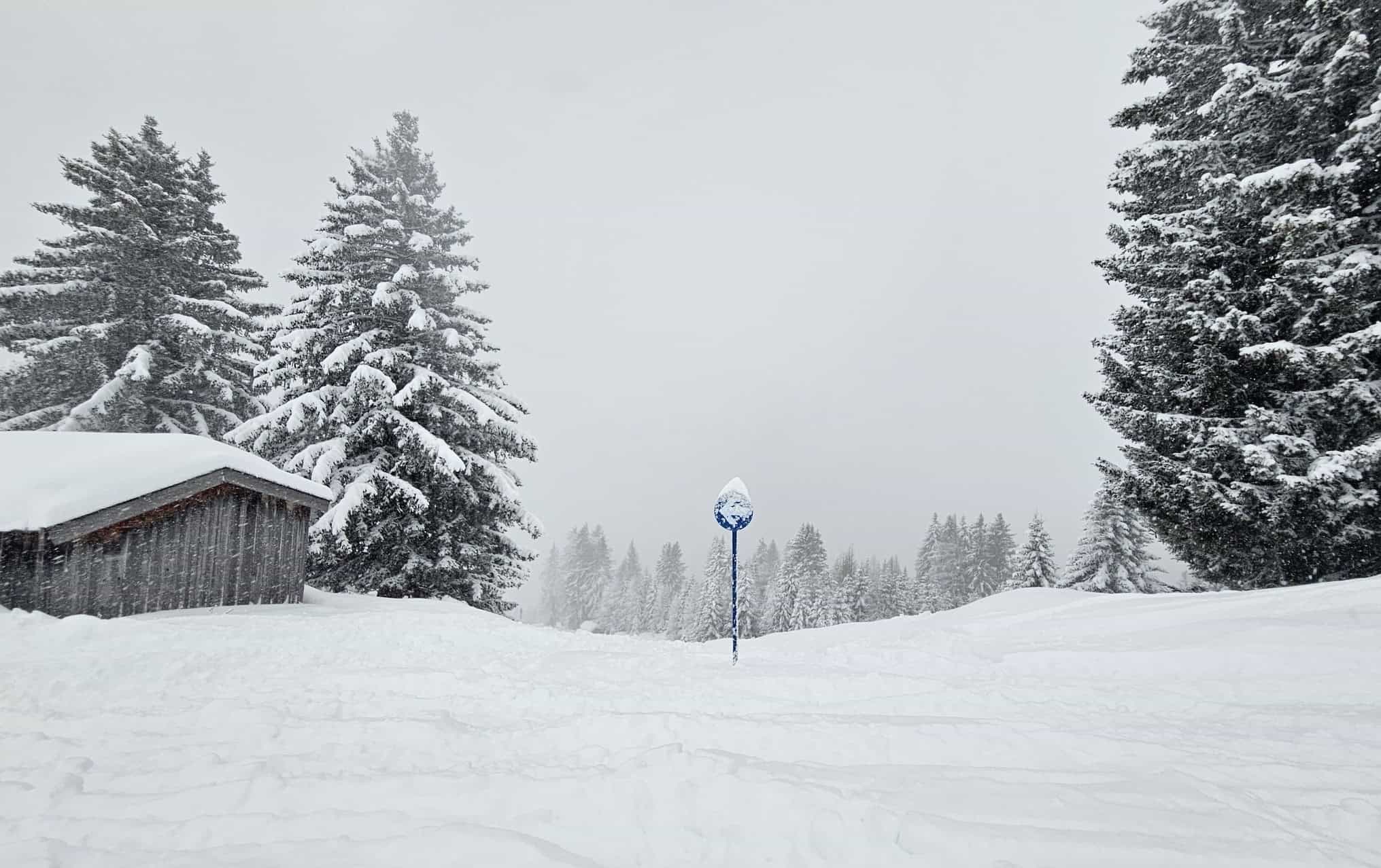
The back half of January has been mainly fine in many northern hemisphere snow destinations. However the tide has turned with storms over the past week dropping welcome snow in Japan, Europe, British Columbia and some regions in the US.
Japan
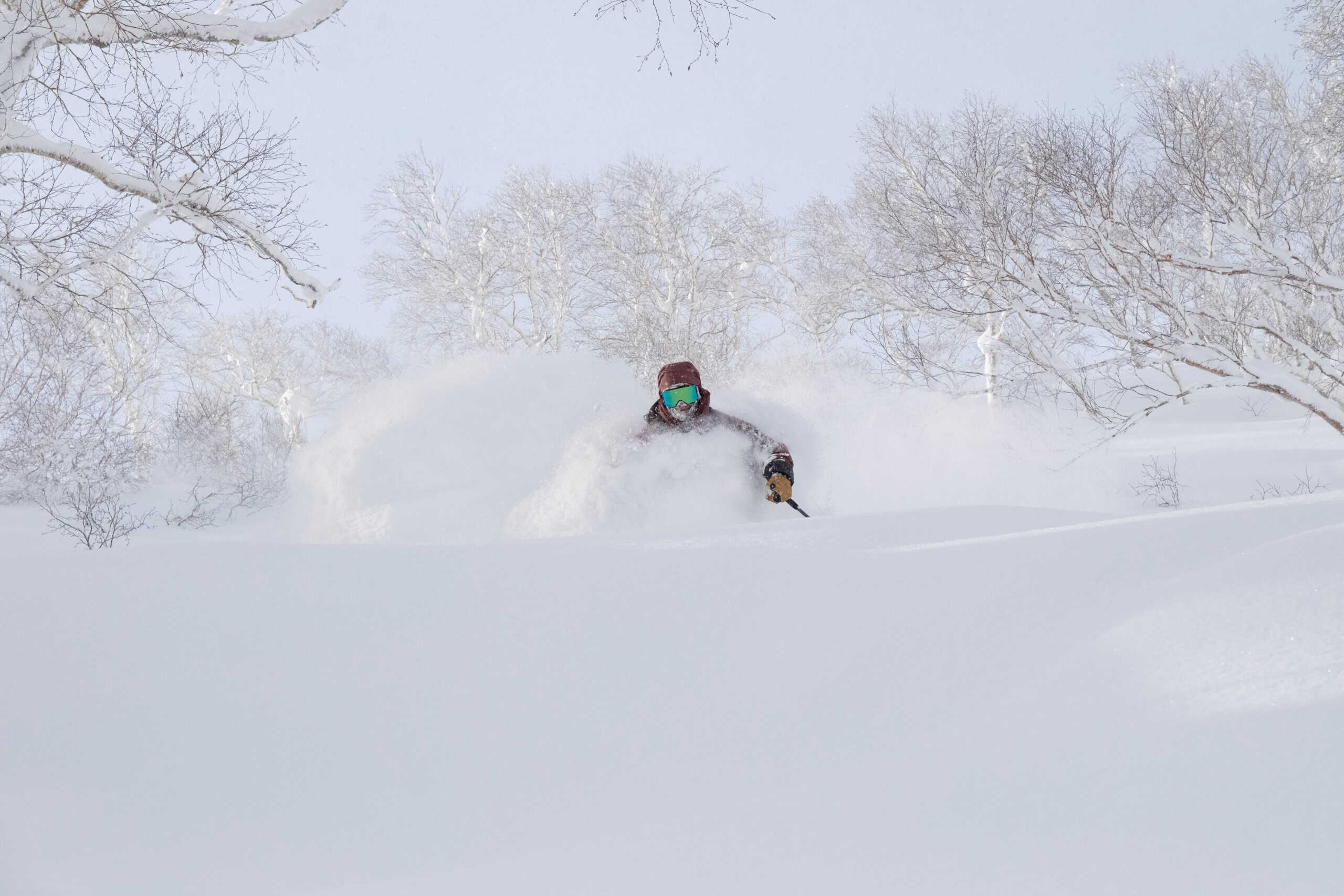
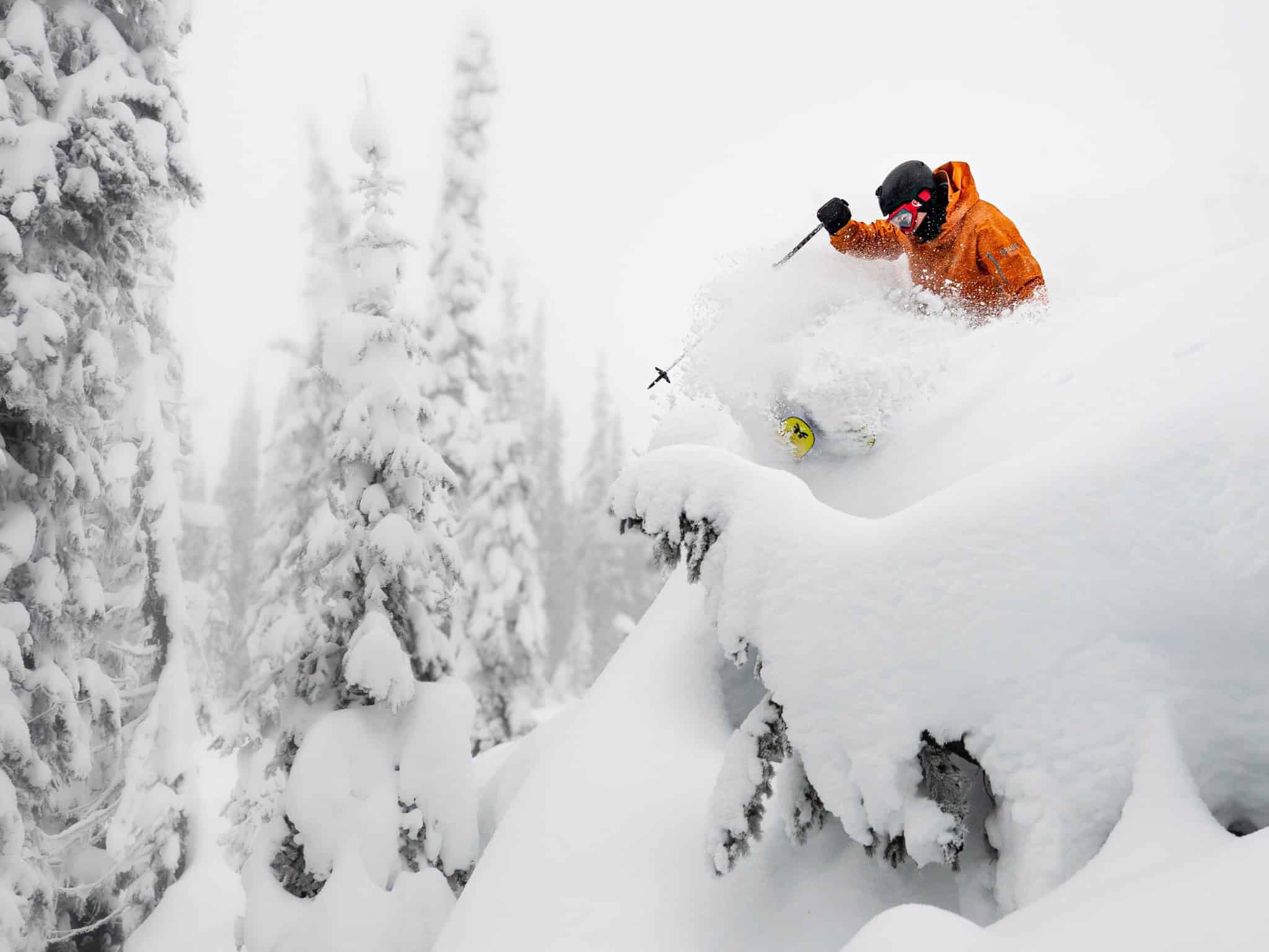
After a solid start to the season in Japan, it really slowed down in mid-January, with just a few isolated snowfalls and mainly on piste skiing in the resorts from Jan 15 – 28th. That ended on Wednesday 29th when a strong storm dropped big totals of light powder across central and northern Honshu. The totals were impressive, Hakuba received just over 130cms in 48 hours while Myoko also had a big run of powder with 150cms over three days. It was a similar story further north, Naeba receiving 90cms from Thursday through to Saturday Feb 1st.
Hokkaido also saw the end to a spring-like spell of sunshine and a welcome return to winter when a storm hit mid-week. While snow totals weren’t as high as those further to the south on Honshu the numbers are still pretty good, Niseko and Rusutsu reporting 60cms since Thursday. Central Hokkaido also received a nice refresh, Furano reporting 40cms at the base since Thursday.
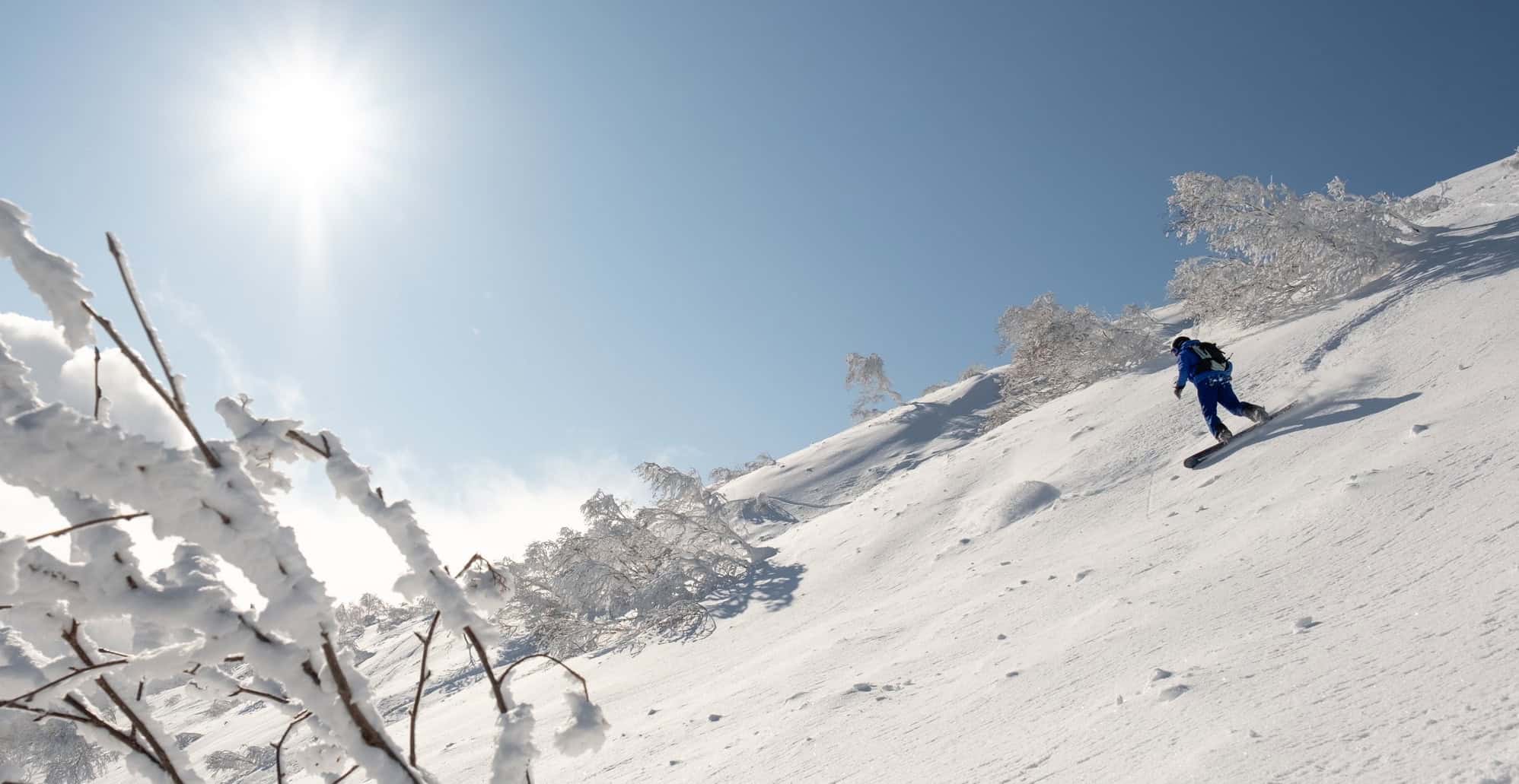
Another storm is on the way this week with Central Honshu in the firing line for snow from Monday night right through to next weekend, our models calling seven-day totals of 118cms for Hakuba, 68cms for Myoko, 56cms for Nozawa Onsen and 77cms for Hakkaisan. The storm will also hit Hokkaido, again favouring Niseko and resorts closer to the west coast with 51cms in the forecast while further inland Furano could see 30cm.
It is worth noting that these forecast numbers may be undercooked, the Grasshopper reckons the models can’t accurately pick up on how much moisture the storm will pick up as it crosses the Sea of Japan and the actual snow totals will most likely be much higher. As he said in his forecast on Thursday, “This storm could be one for the books as it is expected to last at least a week and add another massive load of powder to the tally.”
It must be frustrating for those who booked their Japan trip for the third week of January when most days were about sunny laps on the groomers, but it’s a reminder there’s no guarantee of scoring powder on a snow holiday. It will be interesting to see if this incoming storm is the last big one as longer term forecast models and the Japan Meteorological Agency are pointing to a potential early spring and a warming trend in the back half of February. Check out the details in the Grasshopper’s Japan mid-season Outlook.
Canada
Prior to this weekend it has also been a dry second half of January for resorts in British Columbia. Whistler Blackcomb endured three weeks without snow but thankfully a storm has finally hit, dropping has received 40cms since Friday. While the back half of January wasn’t totally dry in the interior, the overall snow totals for January were modest. Revelstoke fared the best with 50cms since January15th, but snow totals were very low elsewhere including Big White with only 8cm and Kicking Horse just 12cms over the last two weeks of January.
This weekend’s storm has dropped some solid totals in the Coast Mountains, Grouse and Seymour, the resorts just outside Vancouver picking up 56cms. Happy to say that Interior BC hasn’t missed out Kicking Horse picking up a healthy 30cms since Friday, Revelstoke 44cm and Red Mountains 35cms.
After weeks of hard-packed there were a lot of smiling faces, cold temps helping to turn on an epic weekend powder day. Snowfalls are set to continue across the next few days, many BC resorts expecting another 20-30cms by Tuesday morning.
In Alberta, Lake Louise has received its first snowfall since January 17th with 12cms falling prior to the weekend. Other resorts in the Alberta Rockies also had a long overdue refresh, Castle Mountain reporting 18cms while Sunshine Village received 16cms. Another 5-10cms is expected ahead of a dry and very cold week with day time max temps of -21 degrees!
USA
The back half of January was all about cool, dry days and perfect on piste groomers and sessions in the terrain parks with mainly settled weather and just a few storms. In Colorado it has been mainly dry, perfect for last week’s X Games in Aspen, but most resorts need a good snow fall although a few days of snow showers dropped 20cms in Vail during the third week of January. Resorts in Utah picked up some snow last weekend while Jackson Hole remained dry.
However, the storm that has crossed BC this weekend has also made its way south of the border with snow falling across resorts in Montana, Idaho and Wyoming. There is more on the way over the next five days, the forecast calling 55cms for Jackson Hole and 45cms for Big Sky. That storm has also ended a long dry spell in the Pacific Northwest, Mt Baker picking up 80cms since Friday and it should see another 35cms by Tuesday.
It has also been a dry January in California although Mammoth picked up a cheeky 15cms last weekend. However, the sunny California weather is over, and an atmospheric river is currently dragging a heap of moisture out of the Pacific. There has been heavy snow and very strong winds at high elevations in the Sierras but with the warm temps there has been rain down low.
This storm is directly hitting Tahoe where heavy precipitation with fluctuating snow levels over the next few days could see 130cms at higher elevations by Tuesday. Mammoth Mountain will also cop a mix of rain or snow, but colder air in the back half the storm should result in 60cms at lower elevations by mid-week.
Most of the action is to the north and west of Colorado and while there is some snow in the forecast, it is not much, with 35cms expected for Steamboat and a 25cms in Aspen over the next 10 days, most of that falling later in the week.
Europe
It has been a season of sunshine and occasional storms in Europe with fine on piste riding punctuated with some powder days. After 10 days of settled weather the latest storm in the Alps hit mid-week and it was the biggest of the season with widespread snowfalls in most regions.
The southern alps really copped it with some massive totals, Chamonix reporting 60cms in one day and a total of 120cms over a three-day period, while Crans Montana receive 70cms and in Italy northern resorts received 80cms. The Dolomites also saw some good snow with Livigno reporting 20cms. After a dry January the Pyrenees had a mix of rain and snow with 30cms at higher elevations but more snow is expected this weekend.
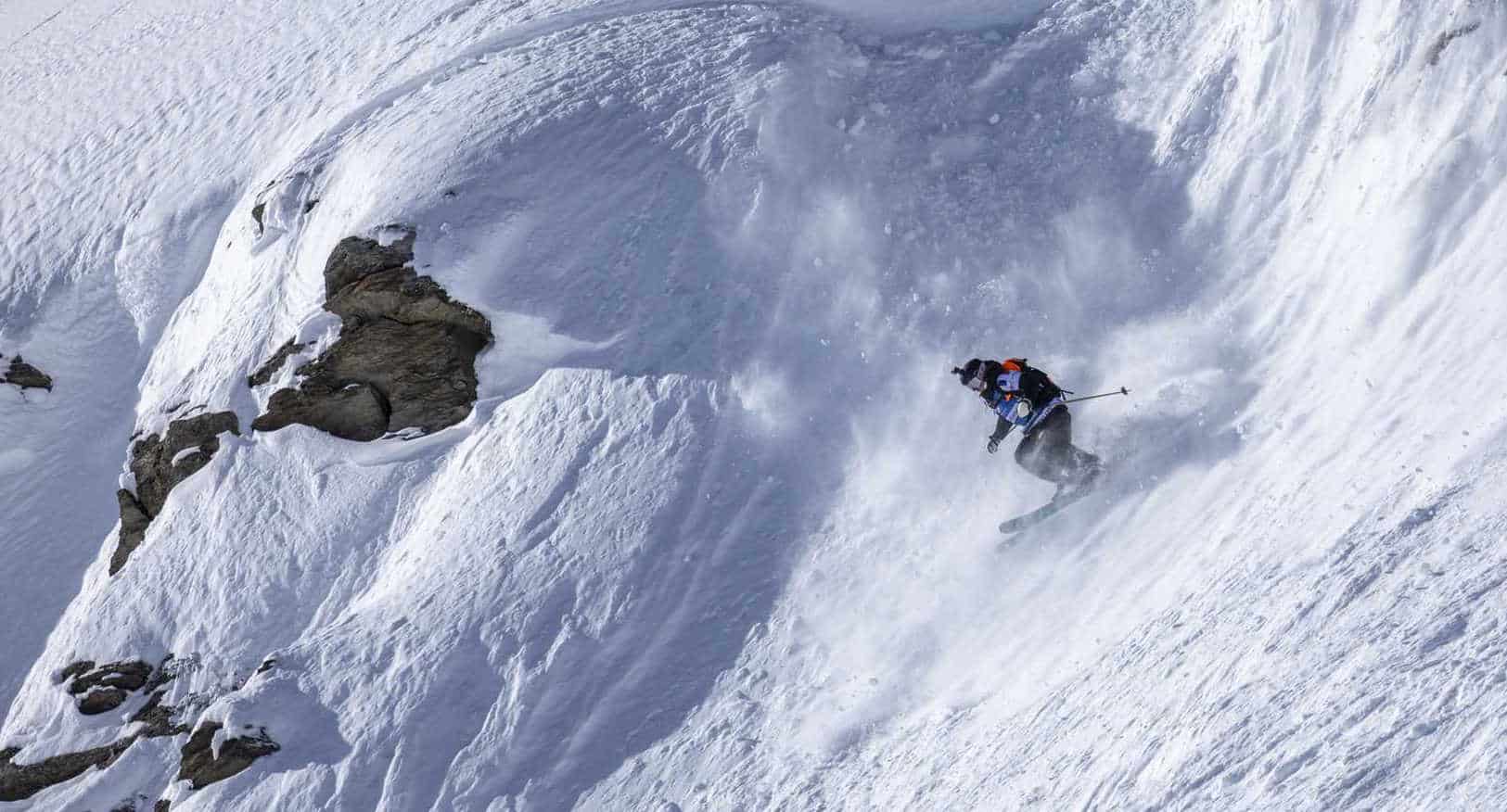
Last week’s storm set up powder conditions for stop two of the Freeride World Tour in Val Thorens France, a rarity for the tour which is usually held in challenging hard-packed conditions. However, the volume of snow over the short time period has created dangerous avalanche conditions and there have been some big slides over the past few days including one in the Chamonix Valley that unfortunately resulted in a fatality.
The forecast for most of the Alps is for sunshine and settled weather over the next few days ahead of light snowfalls next weekend.
Where We’d Like to Be This Week.
Hakuba. That’s where I am at the moment and there is a tonne of snow in the forecast. It is going to be a good week.


