Australian Weekend Forecast,June 27th – The Calm After The Storm, Cold Southerlies Monday
Mountainwatch | The Grasshopper
Published early Friday, 27th June 2025
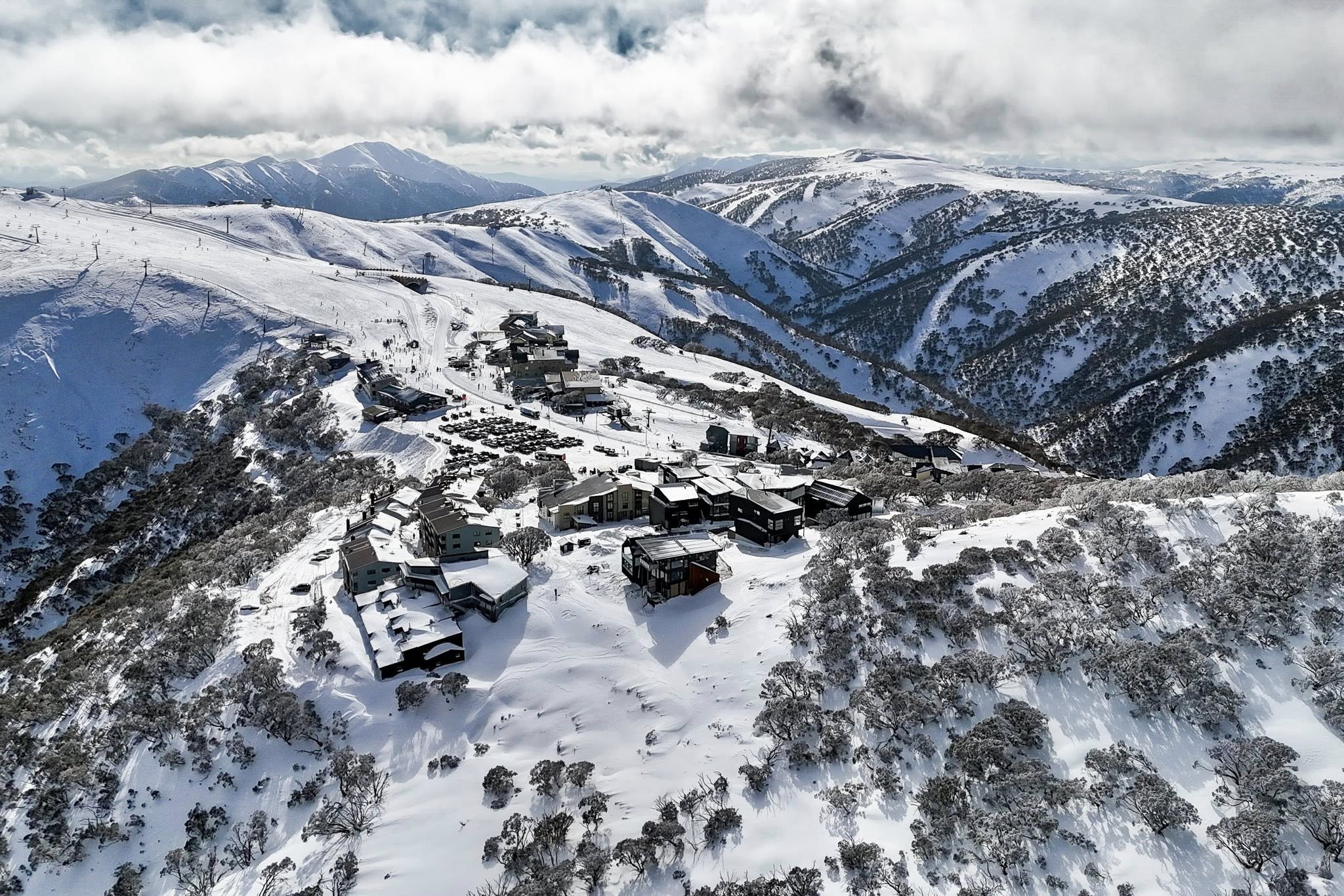
The storm at the start of the week has given all the resorts a tremendous boost with up to 30-50cm of fresh powder. Cold temperatures have also had the snow guns cranking, so things are looking amazing for this time of year as we now head into a calm spell for the last weekend of June.
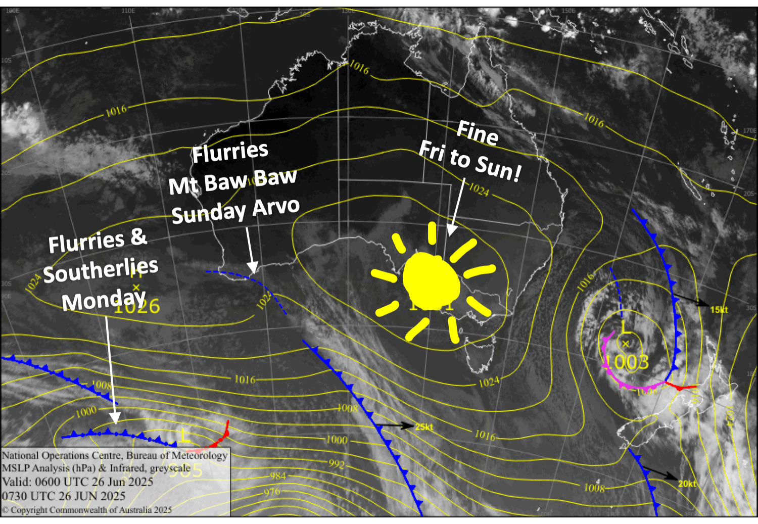
On Sunday, a cold front will run out of steam as it moves onto the Aussie Alps, so we’ll just see some light snow flurries about Mt Baw Baw from that afternoon, which may also show up elsewhere on Monday, along with cold southerly winds.
Friday 27th June
Mainly fine, with light southerly breezes, but cloud will linger about Mt Baw Baw.
Saturday 28th June
Another fine, sunny day with light northwest breezes.
Sunday 29th June
Mainly fine, but cloud will spread over western Victoria in the afternoon as light northwest breezes turn southwest.
Mt Baw Baw will also see light precipitation in the afternoon. Temperatures are marginal, so it may fall as dense, sleety snow.
Monday 30th June
Southerly winds will push in a bit of cloud throughout the day with light snow flurries here and there.
Extended Forecast
Later next week, we could see more light snowfall Tuesday through Thursday as a low in the Tasman develops, dragging cool southerly winds over the Aussie Alps. The winds may get quite strong for a time, and some models are picking more than just light snow, but things are too uncertain to make any big calls. Models also hint at more snow from one or more cold fronts from next weekend onwards.
That’s all from me today, folks. I’m sending out these forecasts every Monday, Wednesday and Friday throughout the season. Have a great weekend, and I’ll see you back here on Monday.
Grasshopper


