Storm Journal July 8th-12th, 2025 – Two Cold Fronts Deliver in Big way

Mountainwatch | Reggae Elliss
Here we are, only mid-July and another Storm Journal, the third one for this season. The rule of thumb for a storm journal is 20-30cms of fresh snow and I can’t remember if we’ve published three of them this early in the season before. It may be some kind of record.
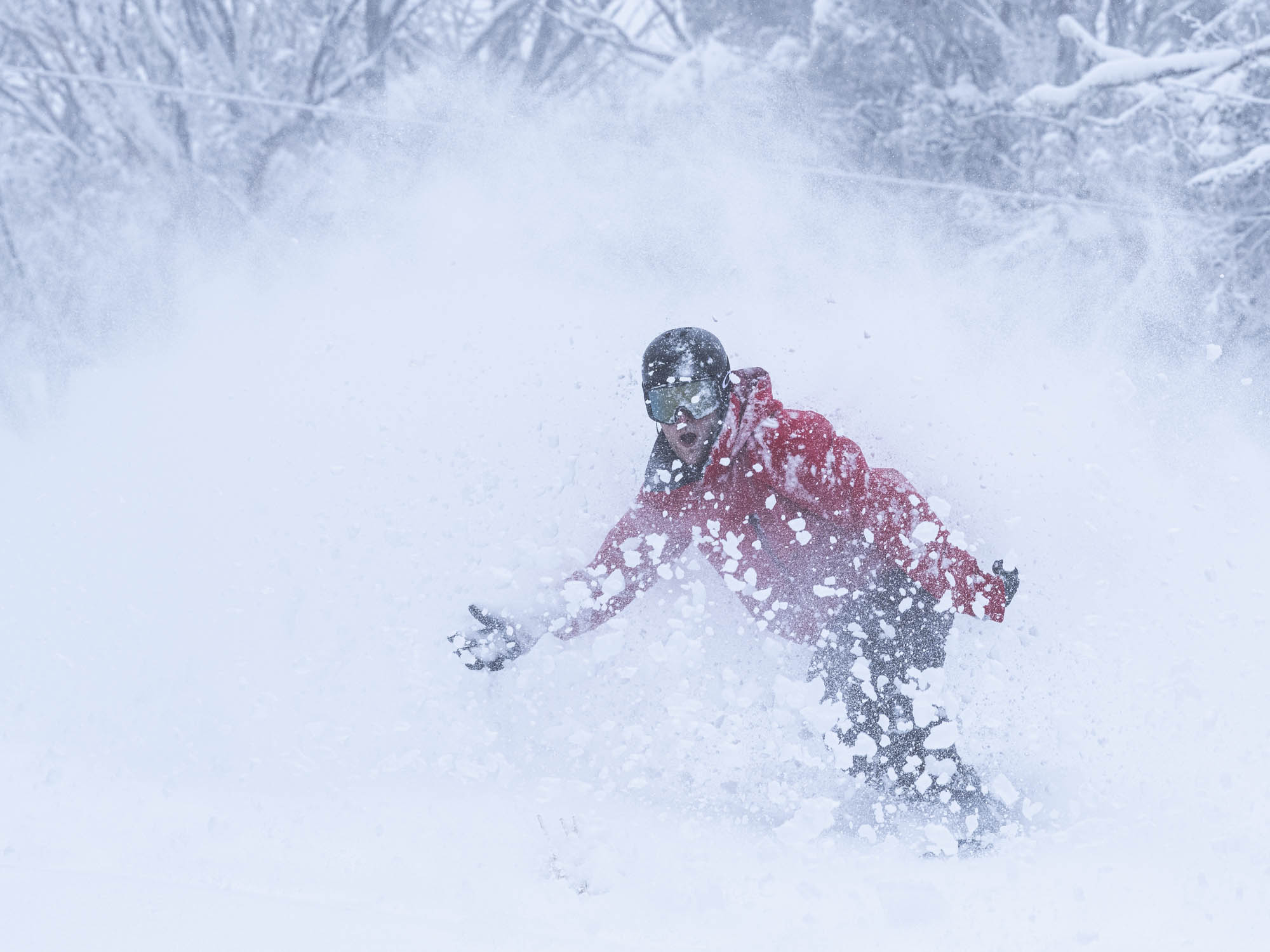
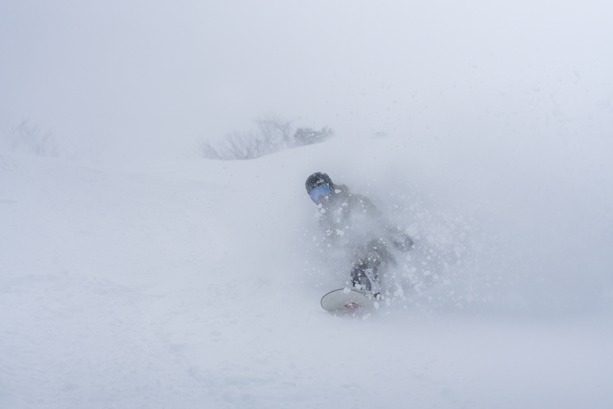
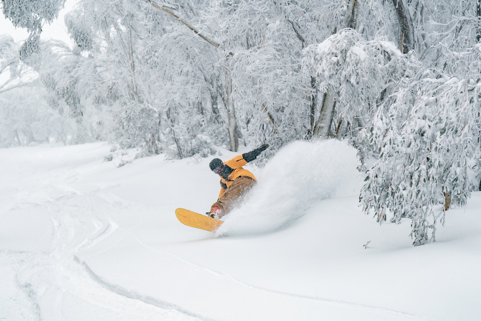
Last week two cold fronts crossed the mountains and while the first one lost a bit of oomph compared to the forecast a week earlier, the second system delivered as expected, with 20-30cms in an 18-hour period. Actually, it not only delivered the snow totals expected, but the snow quality surpassed expectations and last Thursday July 10th was up there with the best days in years.
The Grasshopper had been watching these systems approaching and in his forecast on July 4th he noted that the first from had weakened a little and that snow totals would not be as high as previously expected:
“Models are still track for a couple of storm systems to bring snow to the Aussie Alps from Tuesday, the 8th, to Friday, the 11th, but have backed off a touch on totals, which are now in the ballpark of 20 to 40cm.”
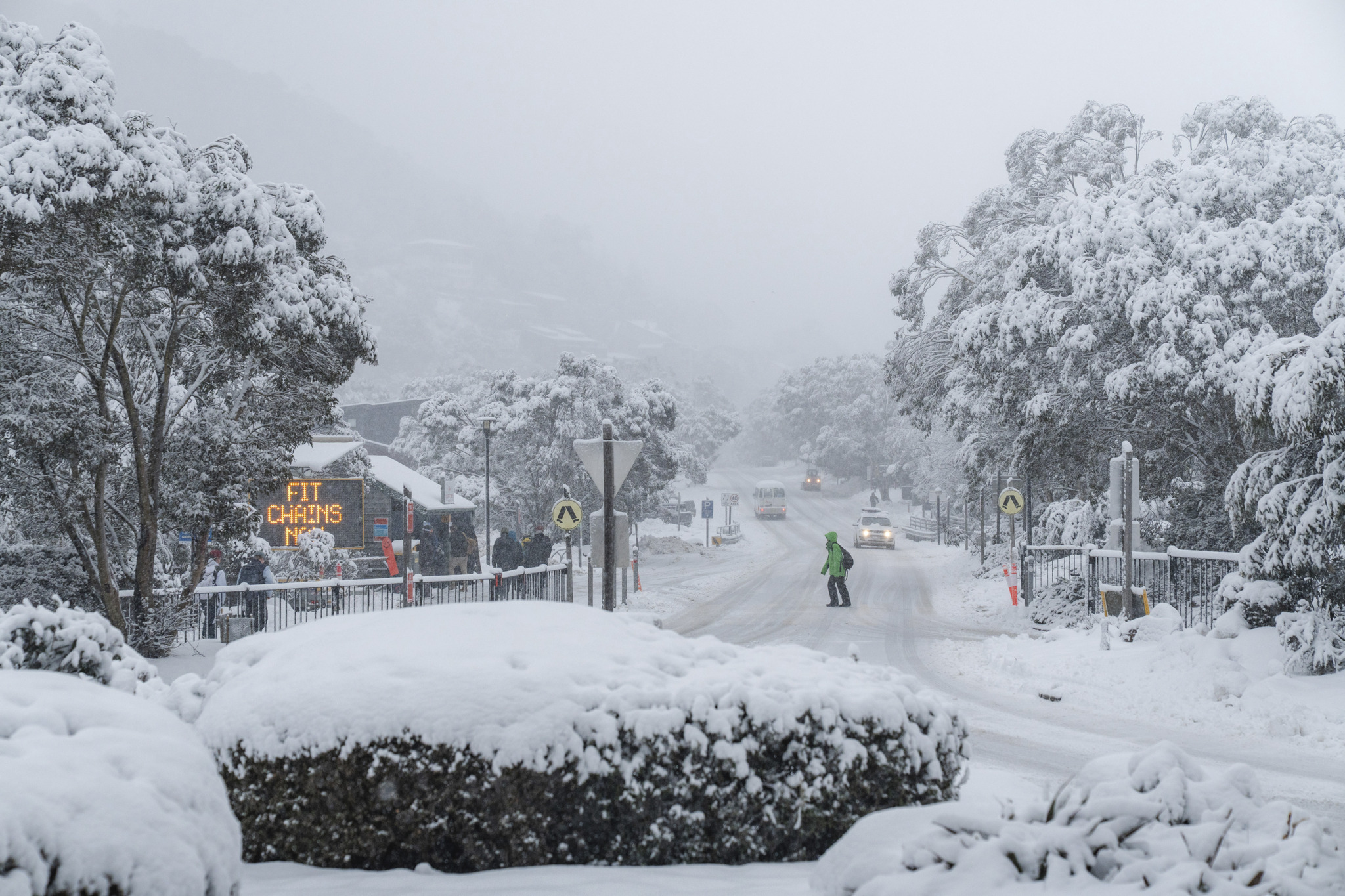
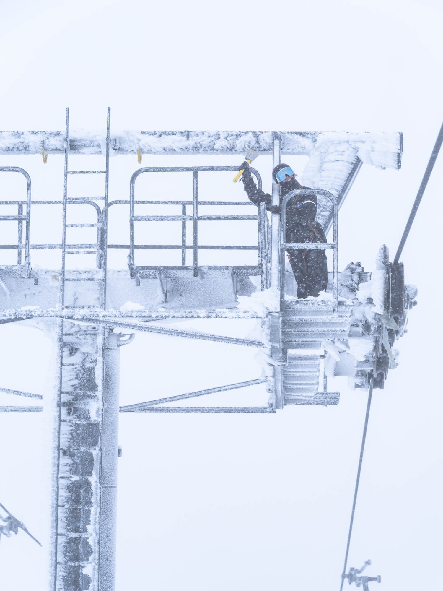
The first snowstorm dropped 10-15cms from late Tuesday afternoon into Wednesday, but the accompanying winds were howling, hitting 128km/hr. at Thredbo’s top station. On Wednesday July 9th the wind impacted lift operations in all resorts with some chairlifts on hold. Snow showers increased in the afternoon, becoming heavier in Victoria after dark and then spreading into NSW around midnight.
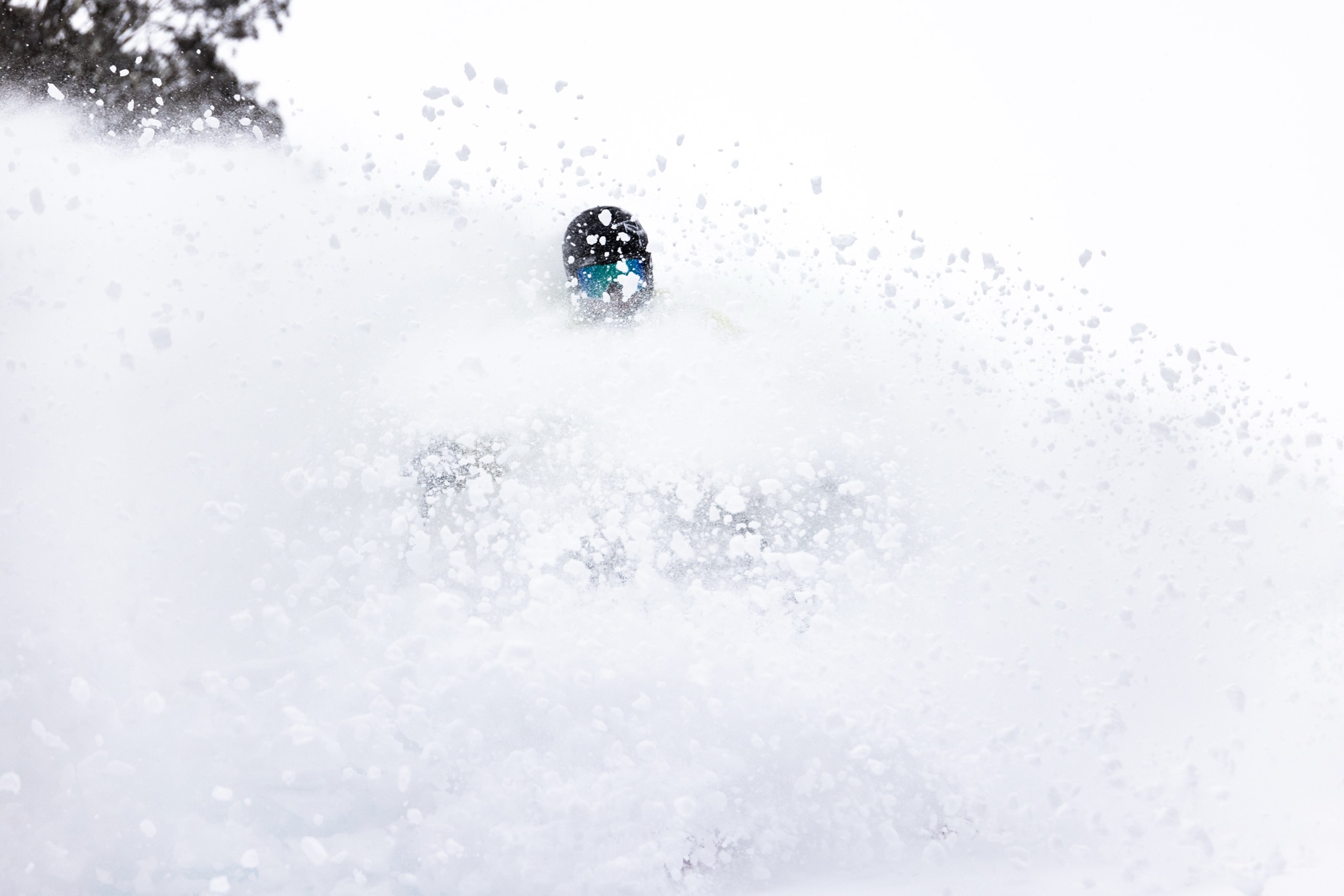
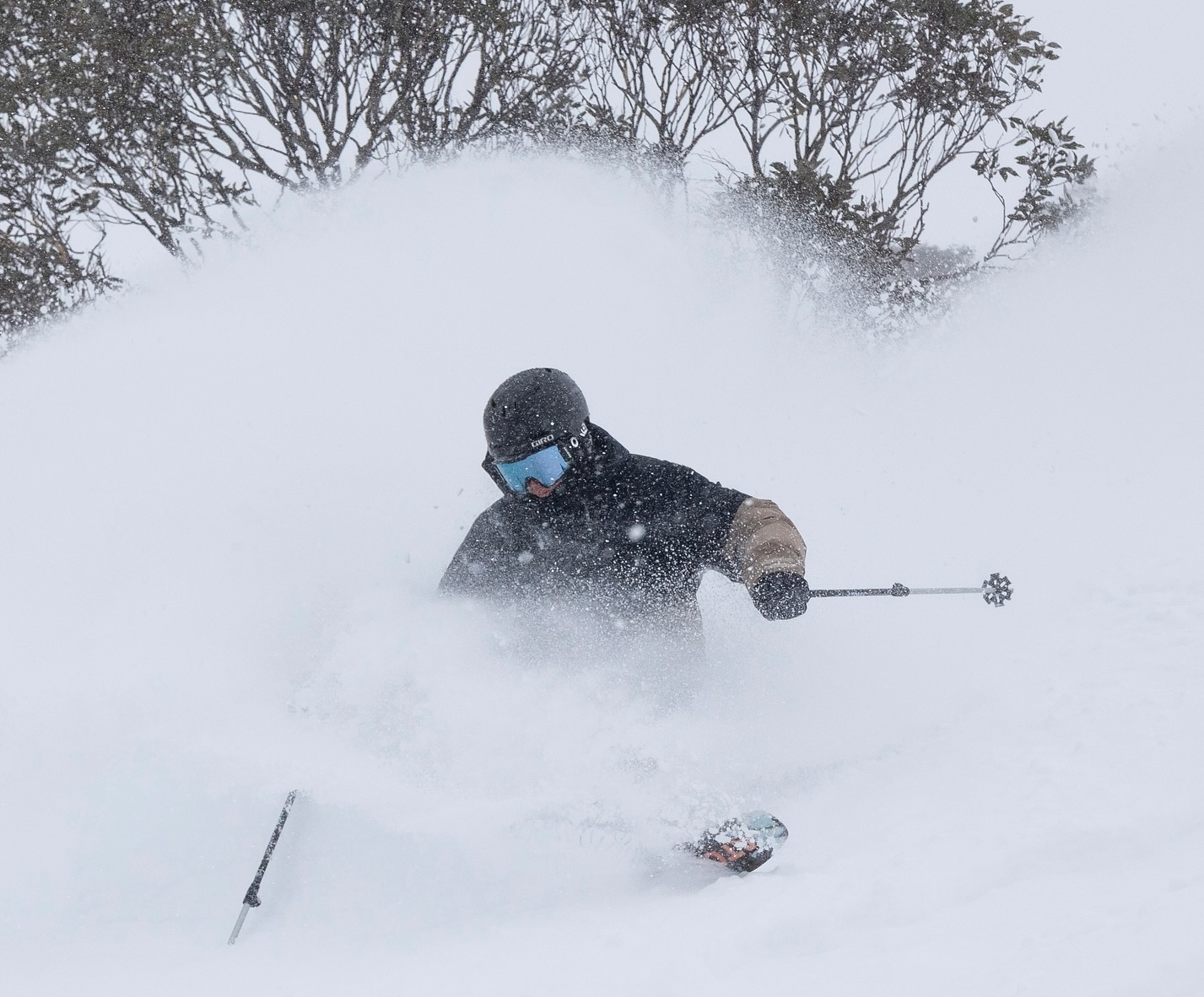
This second front that crossed the mountains on Wednesday night was colder and stronger and at 6am the next day our snow reporters were reporting that it was still snowing with totals of 15-22cms overnight. The snowfalls continued all morning and it was a classic storm day – windy, cold and snowing with powder turns into the afternoon.
By Friday morning another 10-15cms had fallen and the first few hours were a lot of fun although wind-hold was again issue. The temps and snow levels rose during the morning and by midday the remaining snow showers were pretty wet with drizzle at lower elevations.
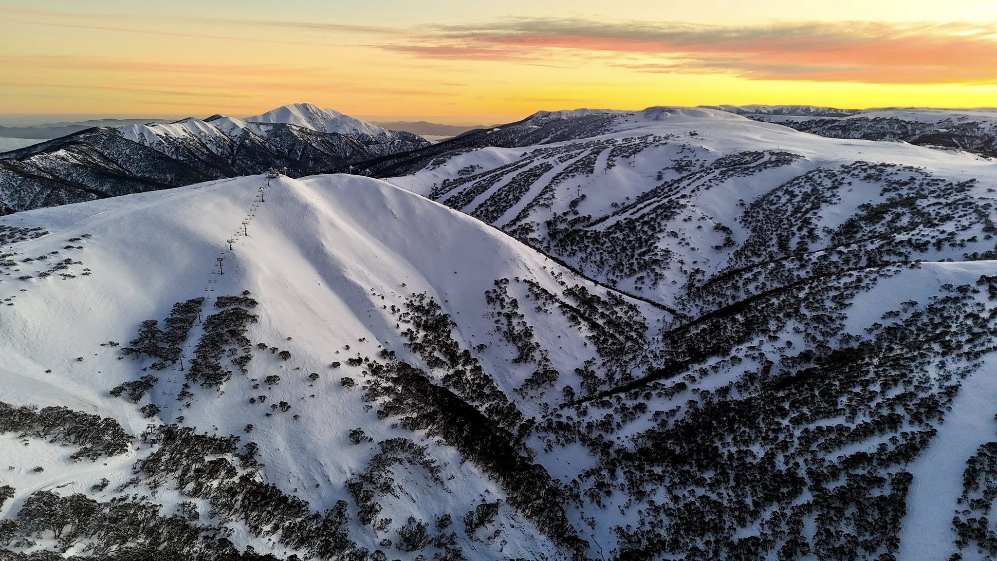
The snow totals from the two systems were solid, the resorts reporting 35-57cms, while the strong winds blew in a lot more, filling in the terrain at higher elevations.
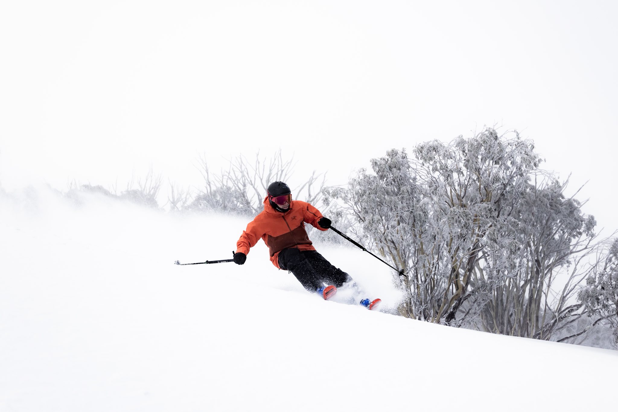
The last remnants of cloud cleared Friday night, and an overnight freeze made it hard and fast onSaturday morning, a day to stick to the groomed runs while off piste was best avoided. Things improved yesterday, again best on the groomed runs at higher elevations. Fortunately, we had another round of snow last night with 8-12cms falling across the resorts, the WNW wind blowing in a lot more and today was another good day with some nice fresh turns and windblown drifts up high.
Overall, it has been a good first week of school holidays although we could have done without the wind-hold days. Prior to the Wednesday night’s storm, Snowy Hydro’s snow depth at Spencers Creek was sitting at 80cms. It is deeper than that now and we are looking good for mid-July with a healthy mid-mountain base in the resorts and close to 70-80% of lifts and terrain open.
We’ll have a few more showers over the next few days while in his forecast today The Grasshopper mentioned potential for another good storm around the 22nd. If so, I may be writing another storm journal next week and that will be the first time we’ve published slied four storm journals by the end of July since we launched Mountainwatch in 2009. I just hope I get to write a few more in August!