New Zealand Weekend Forecast, Friday August 29th – Strong Winds & Frequent Top-Ups as Spring Arrives in Style
Mountainwatch | The Grasshopper
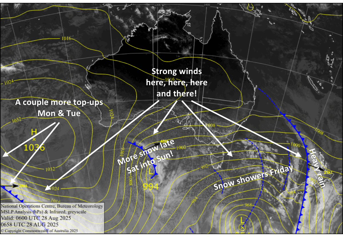
New Zealand has entered into a long, stormy, unsettled period that’ll take us into the spring season. It’s classic spring-time weather, where we have a busy schedule of frontal systems lined up and strong winds hardly let up, especially in Canterbury and on Mt Ruapehu, where frequent gale-to-severe gale force winds will hamper operations. Each passing front will bring fluctuating temperatures and bouts of rain and snow, although on the whole, it’ll be cold, so we’ll see more of the latter, thankfully.
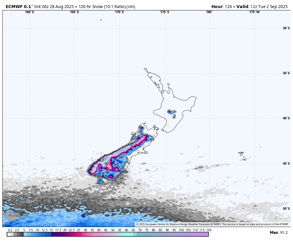
Southern Lakes resorts have already received 15+cms in the past 24 hours and frequent top-ups of powder from passing fronts will see South Island ski fields rack up some decent snowfall totals throughout this forecast period, from today, Friday, to Tuesday. Around 20 to 40cm is expected for the Southern Lakes, and 10 to 25cm for Canterbury, although Temple Basin could exceed half a metre due to being closest to the Main Divide. Mt Ruapehu will more or less see constant precipitation, with totals also likely to exceed half a metre on the upper slopes, diminishing to around 15 to 25cm on the lower slopes due to some of it falling as rain.
Friday August 29th
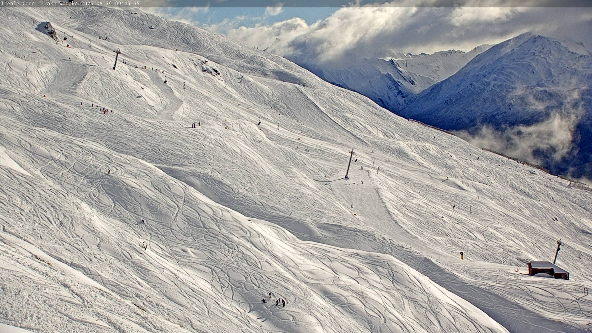
A few snow showers, mostly on the Queenstown side early morning and from later in the afternoon as chilly west-to-northwest winds arrive, with fine spells in between.
In Canterbury, cloud retreats back to the Main Divide during the morning as gale northwesters back off a touch, leaving mostly sunny skies. However, Temple Basin in the west will see snow showers morning and evening.
Saturday August 30th
Cloud increases over the South Island as a frontal system approaches. Showers of snow and low-level rain start spilling over the Main Divide from afternoon, while strong northwesterlies rise to severe gale in exposed parts of Canterbury. A cold westerly change brings a more widespread top-up of around 2-8cm of snow to the Southern Lakes from evening.
Sunday August 31st
Snow showers to low levels over the Southern Lakes clear early as cold northwesterlies start to turn northwest, but they return later in the afternoon before another, stronger southwest change hits in the evening.
In Canterbury, a light, cold southerly creeps in during the wee hours before dawn, bringing a nice top-up of around 10-15cm of quality powder to low levels before snowfall clears out from the south during the latter half of the day as stronger west-to-northwest winds develop.
Monday September 1st
Another early southwest change gives the Southern Lakes another top-up of powder to low levels before snowfall clears in the afternoon as winds start to bend northwest again.
The same front will only see a dusting of snow spill over the Main Divide onto Canterbury ski fields early in the morning, although Temple Basin will receive a more substantial top-up before skies clear for a sunny day. Gale west-to-northwest winds ease in the afternoon.
Tuesday September 2nd
For the umpteenth time, a front will move northwards up the South Island early in the day, bringing another top-up of powder, which is expected to be larger for Southern Lakes than in Canterbury, while turning gale northwesters to the southwest. Skies clear up during the second half of the day as winds start to ease.
Extended Forecast
Looking further ahead into next week, we should see one more frontal system pass over the country before next weekend with another shot of snow on the cards. From then on, models aren’t well aligned, ranging from a whopping snowstorm over the weekend to more settled high pressure, so we’ll have to wait till closer to the time for a more reliable outlook.
That’s all from me today, folks. I’m sending out these forecasts every Monday, Wednesday and Friday throughout the season. Have a great weekend, and I’ll see you back here on Monday.
